Estimated Value: $90,000 - $110,000
--
Bed
1
Bath
896
Sq Ft
$113/Sq Ft
Est. Value
About This Home
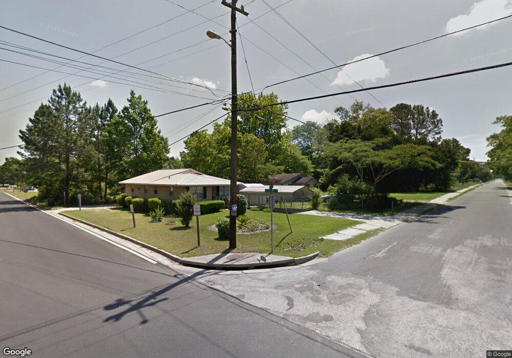
This home is located at 573 W Poplar St, Jesup, GA 31545 and is currently estimated at $101,034, approximately $112 per square foot. 573 W Poplar St is a home located in Wayne County with nearby schools including Martha Rawls Smith Elementary School, Martha Puckett Middle School, and Wayne County High School.
Ownership History
Date
Name
Owned For
Owner Type
Purchase Details
Closed on
Jul 14, 2014
Sold by
Wright Katie Mae
Bought by
Mathis Johnny and Mathis Catherine
Current Estimated Value
Home Financials for this Owner
Home Financials are based on the most recent Mortgage that was taken out on this home.
Original Mortgage
$37,000
Interest Rate
4.26%
Mortgage Type
New Conventional
Purchase Details
Closed on
Jul 1, 1973
Bought by
Wright Katie Mae
Purchase Details
Closed on
Mar 1, 1965
Create a Home Valuation Report for This Property
The Home Valuation Report is an in-depth analysis detailing your home's value as well as a comparison with similar homes in the area
Home Values in the Area
Average Home Value in this Area
Purchase History
| Date | Buyer | Sale Price | Title Company |
|---|---|---|---|
| Mathis Johnny | $40,000 | -- | |
| Wright Katie Mae | -- | -- | |
| -- | -- | -- |
Source: Public Records
Mortgage History
| Date | Status | Borrower | Loan Amount |
|---|---|---|---|
| Closed | Mathis Johnny | $37,000 |
Source: Public Records
Tax History Compared to Growth
Tax History
| Year | Tax Paid | Tax Assessment Tax Assessment Total Assessment is a certain percentage of the fair market value that is determined by local assessors to be the total taxable value of land and additions on the property. | Land | Improvement |
|---|---|---|---|---|
| 2024 | $965 | $31,538 | $6,525 | $25,013 |
| 2023 | $754 | $21,323 | $6,675 | $14,648 |
| 2022 | $671 | $21,323 | $6,675 | $14,648 |
| 2021 | $719 | $21,323 | $6,675 | $14,648 |
| 2020 | $744 | $21,323 | $6,675 | $14,648 |
| 2019 | $766 | $21,323 | $6,675 | $14,648 |
| 2018 | $766 | $21,323 | $6,675 | $14,648 |
| 2017 | $659 | $21,323 | $6,675 | $14,648 |
| 2016 | $638 | $21,323 | $6,675 | $14,648 |
| 2014 | $640 | $21,323 | $6,675 | $14,648 |
| 2013 | -- | $21,323 | $6,675 | $14,648 |
Source: Public Records
Map
Nearby Homes
- 0000 N Fourth St
- 0 N Fourth St Unit 159403
- 0 N Fourth St Unit 1652040
- 0 N 3rd Ln
- 356 N 4th St
- 356 N Fourth St
- 344 N Fourth St
- 0 N 4th St
- 0 N 4th St Unit 10414401
- 0 U S 84
- 196 Pine Ridge Dr
- 197 NW Broad St
- 447 NE Broad St
- 498 NE Broad St
- 9474 Us Hwy 301
- 106 Mangrove Ct
- 113 Mangrove Ct
- 00 84 Hwy
- 436-441 Brunswick St
- 0 Fourth S
- 513 N 5th St Unit 14
- 514 N 5th St
- 511 N 5th St
- 512 N 5th St
- 710 W Poplar St
- 688 W Poplar St
- 513 Southwick St
- 509 N 5th St
- 510 N 5th St
- 511 Southwick St
- 678 W Poplar St
- 680 Robinson Dr
- 507 N 5th St
- 509 Southwick St
- 512 Garbutt Rd
- 550 N 5th St
- 644 W Poplar St
- 674 Robinson Dr
- 510 Garbutt Rd
- 637 Robinson Dr Unit 7