5732 Oxbow Ln Stevensville, MT 59870
Estimated Value: $137,000 - $518,000
2
Beds
2
Baths
1,200
Sq Ft
$344/Sq Ft
Est. Value
About This Home
This home is located at 5732 Oxbow Ln, Stevensville, MT 59870 and is currently estimated at $412,737, approximately $343 per square foot. 5732 Oxbow Ln is a home located in Ravalli County with nearby schools including Stevensville Elementary School, Stevensville Junior High School, and Stevensville High School.
Ownership History
Date
Name
Owned For
Owner Type
Purchase Details
Closed on
Jul 26, 2023
Sold by
Woodgerd Thomas Joseph and Hubbell Sharon
Bought by
Montana Department Of Transportation
Current Estimated Value
Purchase Details
Closed on
Apr 19, 2023
Sold by
Boone David
Bought by
Montana Department Of Transportation
Purchase Details
Closed on
May 27, 2020
Sold by
Miller Arleatha K
Bought by
Pearson Zeb R
Home Financials for this Owner
Home Financials are based on the most recent Mortgage that was taken out on this home.
Original Mortgage
$237,500
Interest Rate
3.3%
Mortgage Type
Construction
Create a Home Valuation Report for This Property
The Home Valuation Report is an in-depth analysis detailing your home's value as well as a comparison with similar homes in the area
Home Values in the Area
Average Home Value in this Area
Purchase History
| Date | Buyer | Sale Price | Title Company |
|---|---|---|---|
| Montana Department Of Transportation | -- | None Listed On Document | |
| Montana Department Of Transportation | -- | None Listed On Document | |
| Pearson Zeb R | $296,875 | First American Title |
Source: Public Records
Mortgage History
| Date | Status | Borrower | Loan Amount |
|---|---|---|---|
| Previous Owner | Pearson Zeb R | $237,500 |
Source: Public Records
Tax History Compared to Growth
Tax History
| Year | Tax Paid | Tax Assessment Tax Assessment Total Assessment is a certain percentage of the fair market value that is determined by local assessors to be the total taxable value of land and additions on the property. | Land | Improvement |
|---|---|---|---|---|
| 2025 | $1,968 | $541,900 | $0 | $0 |
| 2024 | $2,342 | $396,600 | $0 | $0 |
| 2023 | $2,350 | $396,600 | $0 | $0 |
| 2022 | $1,537 | $229,202 | $0 | $0 |
| 2021 | $1,645 | $217,100 | $0 | $0 |
| 2020 | $1,574 | $199,000 | $0 | $0 |
| 2019 | $1,556 | $199,000 | $0 | $0 |
| 2018 | $1,303 | $169,800 | $0 | $0 |
| 2017 | $1,293 | $169,800 | $0 | $0 |
| 2016 | $1,245 | $166,400 | $0 | $0 |
| 2015 | $1,263 | $166,400 | $0 | $0 |
| 2014 | $1,387 | $109,286 | $0 | $0 |
Source: Public Records
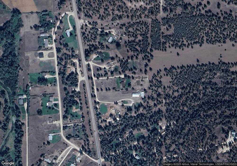
Map
Nearby Homes
- 2837 Caribou Ln
- 605 Groff Ln
- 2813 Pine Lakes Ct
- 843 Lecoure Ln
- 1013 Majestic Pine Place
- 763 S Sunset Bench Rd
- 365 Winters Ln
- 878 S Sunset Bench Rd
- 655 Treece Gulch Rd
- 1130 Hegson Dr
- 1030 S Sunset Bench Rd
- 81 and 83 Bell Crossing W
- 2792 Huggy Bear Ln
- 3542 Vista View Ct
- 3682 Dietz Dr
- 205 Mountain View Dr
- 113 E Main
- 240 Sunset Alley Dr
- 236 Sunset Alley Dr
- 470 Double d Rd
- 4570 River Bend Ln
- 5716 Oxbow Ln
- 5726 Oxbow Ln
- 5740 Oxbow Ln
- 5746 Oxbow Ln
- 2688 Canyon View Ln
- 2698 Canyon View Ln
- 2702 Bratton Way
- XXX Bratton Way
- 000 Bratton Way
- 460 Arnica Dr
- 2785 Tamra Jean Way
- Nhn Hoenstein Ln
- 2730 Bratton Way
- Nhn Hohenstein Ln
- 520 Hohenstein Ln
- 2626 Bratton Way
- 2615 Bratton Way
- 0 Hohenstein Ln
- 2615 Bratton Way