5735 Lengwood Dr Cincinnati, OH 45244
Turpin Hills NeighborhoodEstimated Value: $724,000 - $1,007,000
5
Beds
4
Baths
5,190
Sq Ft
$165/Sq Ft
Est. Value
About This Home
This home is located at 5735 Lengwood Dr, Cincinnati, OH 45244 and is currently estimated at $855,519, approximately $164 per square foot. 5735 Lengwood Dr is a home located in Hamilton County with nearby schools including Mercer Elementary School, Nagel Middle School, and Turpin High School.
Ownership History
Date
Name
Owned For
Owner Type
Purchase Details
Closed on
Jan 29, 2011
Sold by
Sanders Robert Scott and Anderson Debra Sue
Bought by
Sanders Robert Scott and R Scott Sanders Amended & Restated Trust
Current Estimated Value
Purchase Details
Closed on
Oct 7, 1993
Sold by
Braxton Patricia D
Bought by
Sanders Robert Scott and Anderson Debra Sue
Home Financials for this Owner
Home Financials are based on the most recent Mortgage that was taken out on this home.
Original Mortgage
$140,000
Interest Rate
7%
Purchase Details
Closed on
Oct 2, 1993
Sold by
Ehrenkranz Douglas W and Ehrenkranz Sharon K
Bought by
Braxton Patricia D
Home Financials for this Owner
Home Financials are based on the most recent Mortgage that was taken out on this home.
Original Mortgage
$140,000
Interest Rate
7%
Create a Home Valuation Report for This Property
The Home Valuation Report is an in-depth analysis detailing your home's value as well as a comparison with similar homes in the area
Home Values in the Area
Average Home Value in this Area
Purchase History
| Date | Buyer | Sale Price | Title Company |
|---|---|---|---|
| Sanders Robert Scott | -- | Attorney | |
| Sanders Robert Scott | -- | -- | |
| Braxton Patricia D | -- | -- |
Source: Public Records
Mortgage History
| Date | Status | Borrower | Loan Amount |
|---|---|---|---|
| Closed | Sanders Robert Scott | $140,000 |
Source: Public Records
Tax History Compared to Growth
Tax History
| Year | Tax Paid | Tax Assessment Tax Assessment Total Assessment is a certain percentage of the fair market value that is determined by local assessors to be the total taxable value of land and additions on the property. | Land | Improvement |
|---|---|---|---|---|
| 2024 | $14,989 | $246,876 | $38,829 | $208,047 |
| 2023 | $14,256 | $246,876 | $38,829 | $208,047 |
| 2022 | $13,459 | $207,579 | $33,751 | $173,828 |
| 2021 | $13,141 | $207,579 | $33,751 | $173,828 |
| 2020 | $13,291 | $207,579 | $33,751 | $173,828 |
| 2019 | $12,955 | $183,698 | $29,869 | $153,829 |
| 2018 | $12,135 | $183,698 | $29,869 | $153,829 |
| 2017 | $11,445 | $183,698 | $29,869 | $153,829 |
| 2016 | $10,935 | $171,500 | $29,694 | $141,806 |
| 2015 | $10,620 | $171,500 | $29,694 | $141,806 |
| 2014 | $13,232 | $213,612 | $29,694 | $183,918 |
| 2013 | $11,917 | $203,441 | $28,280 | $175,161 |
Source: Public Records
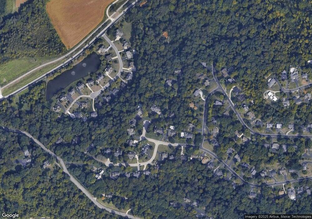
Map
Nearby Homes
- 2904 Turpin Lake Place
- 5463 Hanover Cir
- 5459 Hanover Cir
- 6196 Turpin Hills Dr
- 2536 Ranchvale Dr
- 2560 Coveyrun Ct
- 5308 Reserve Cir
- 6721 Linder Ln
- 2454 Doeview Ct
- 2456 Doeview Ct
- 6189 Wasigo Dr
- 6426 Silverfox Dr
- 2447 Coveyrun S
- 2475 Walnutview Ct
- 2453 Sanctuary Cir
- 6530 Silverfox Dr
- 6436 Wildhaven Way
- 2669 Newtown Rd
- 6279 Crestview Place
- 6519 Rainbow Ln
- 5737 Lengwood Dr
- 5740 Lengwood Dr
- 5738 Lengwood Dr
- 5770 Lengwood Dr
- 5741 Lengwood Dr
- 5784 Lengwood Dr
- 2930 Turpin Lake Place
- 2929 Courtropes Ln
- 5751 Lengwood Dr
- 2921 Courtropes Ln
- 2922 Turpin Lake Place
- 2937 Courtropes Ln
- 5736 Lengwood Dr
- 2913 Courtropes Ln
- 2910 Turpin Lake Place
- 2954 Turpin Lake Place
- 5761 Lengwood Dr
- 2897 Patterson Farms Ln
- 5808 Lengwood Dr
- 5807 Ropes Dr