5737 Branch Rd Loudon, TN 37774
Estimated Value: $149,000 - $391,000
3
Beds
2
Baths
1,820
Sq Ft
$169/Sq Ft
Est. Value
About This Home
This home is located at 5737 Branch Rd, Loudon, TN 37774 and is currently estimated at $308,036, approximately $169 per square foot. 5737 Branch Rd is a home located in Loudon County with nearby schools including Loudon High School.
Ownership History
Date
Name
Owned For
Owner Type
Purchase Details
Closed on
Mar 6, 2019
Sold by
Colvin Reita Kay and Shelton Mary Elizabeth
Bought by
Bowling Billy H
Current Estimated Value
Purchase Details
Closed on
Feb 11, 2019
Sold by
Bowling Billy H and Shelton Mary Elizabeth
Bought by
Bowling Billy H
Purchase Details
Closed on
Apr 22, 2005
Sold by
Hassler Terry D and Hassler Connie J
Bought by
Bowling Davis Della
Purchase Details
Closed on
Aug 30, 2004
Sold by
Johnson Chris C and Johnson Debby
Bought by
Hassler Terry D and Hassler Connie J
Home Financials for this Owner
Home Financials are based on the most recent Mortgage that was taken out on this home.
Original Mortgage
$20,000
Interest Rate
5.91%
Purchase Details
Closed on
May 29, 1998
Bought by
Johnson Chris C and Johnson Debby
Create a Home Valuation Report for This Property
The Home Valuation Report is an in-depth analysis detailing your home's value as well as a comparison with similar homes in the area
Home Values in the Area
Average Home Value in this Area
Purchase History
| Date | Buyer | Sale Price | Title Company |
|---|---|---|---|
| Bowling Billy H | -- | None Available | |
| Bowling Billy H | -- | None Available | |
| Bowling Davis Della | $31,000 | -- | |
| Hassler Terry D | $55,000 | -- | |
| Johnson Chris C | $20,000 | -- |
Source: Public Records
Mortgage History
| Date | Status | Borrower | Loan Amount |
|---|---|---|---|
| Previous Owner | Johnson Chris C | $20,000 |
Source: Public Records
Tax History Compared to Growth
Tax History
| Year | Tax Paid | Tax Assessment Tax Assessment Total Assessment is a certain percentage of the fair market value that is determined by local assessors to be the total taxable value of land and additions on the property. | Land | Improvement |
|---|---|---|---|---|
| 2025 | $381 | $25,075 | $9,475 | $15,600 |
| 2023 | $381 | $25,075 | $0 | $0 |
| 2022 | $381 | $25,075 | $9,475 | $15,600 |
| 2021 | $381 | $25,075 | $9,475 | $15,600 |
| 2020 | $475 | $25,075 | $9,475 | $15,600 |
| 2019 | $554 | $30,725 | $9,475 | $21,250 |
| 2018 | $554 | $30,725 | $9,475 | $21,250 |
| 2017 | $554 | $30,725 | $9,475 | $21,250 |
| 2016 | $599 | $32,225 | $8,725 | $23,500 |
| 2015 | $599 | $32,225 | $8,725 | $23,500 |
| 2014 | $599 | $32,225 | $8,725 | $23,500 |
Source: Public Records
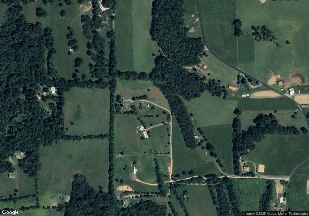
Map
Nearby Homes
- 5733 Branch Rd
- 5707 Branch Rd
- 5729 Branch Rd
- 4540 Watt Cemetery Rd
- 5414 Watt Cemetery Rd
- 5725 Branch Rd
- 1554 Bishop Rd
- 5885 Branch Rd
- 3400 Bishop Rd
- 5717 Branch Rd
- 1806 Bishop Rd
- 6039 Watt Cemetery Rd
- 2488 Watt Cemetery Rd
- 5596 Branch Rd
- 4482 Bishop Rd
- 2810 Watt Cemetery Rd
- 3261 Watt Cemetery Rd
- 4480 Bishop Rd
- 4000 Bishop Rd
- 2669 Watt Cemetery Rd