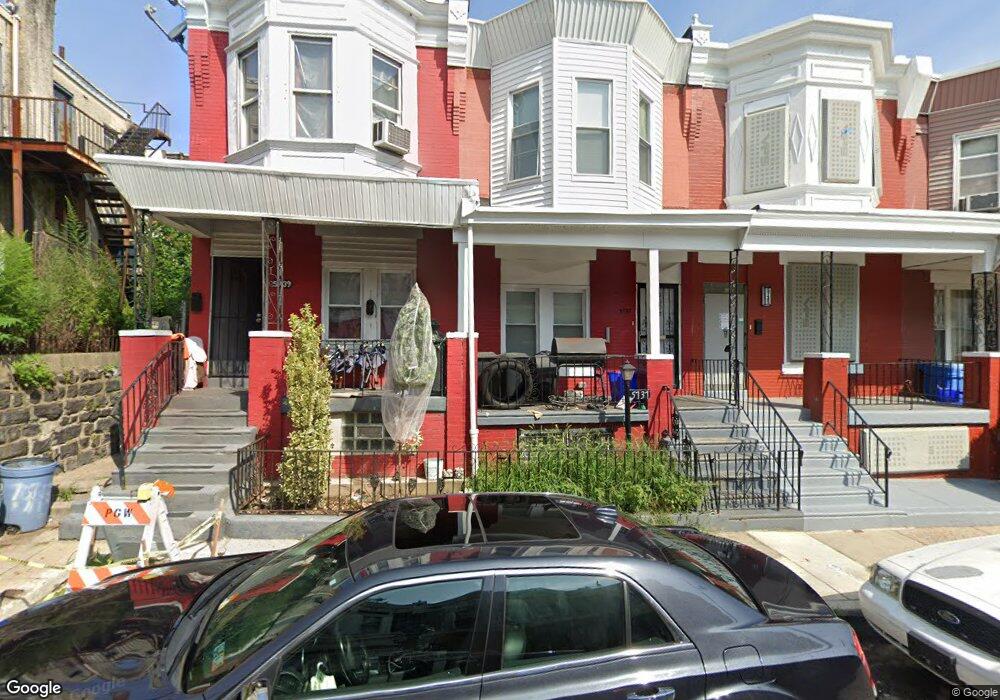
5737 Malcolm St Philadelphia, PA 19143
Kingsessing NeighborhoodEstimated Value: $108,000 - $152,000
3
Beds
1
Bath
1,260
Sq Ft
$106/Sq Ft
Est. Value
About This Home
This home is located at 5737 Malcolm St, Philadelphia, PA 19143 and is currently estimated at $133,781, approximately $106 per square foot. 5737 Malcolm St is a home located in Philadelphia County with nearby schools including W.C. Longstreth Elementary School, John Bartram High School, and Hardy Williams Elementary.
Ownership History
Date
Name
Owned For
Owner Type
Purchase Details
Closed on
May 23, 2007
Sold by
Major Gertrude C
Bought by
Smith Derek
Current Estimated Value
Home Financials for this Owner
Home Financials are based on the most recent Mortgage that was taken out on this home.
Original Mortgage
$51,765
Outstanding Balance
$31,607
Interest Rate
6.24%
Mortgage Type
FHA
Estimated Equity
$102,174
Create a Home Valuation Report for This Property
The Home Valuation Report is an in-depth analysis detailing your home's value as well as a comparison with similar homes in the area
Home Values in the Area
Average Home Value in this Area
Purchase History
| Date | Buyer | Sale Price | Title Company |
|---|---|---|---|
| Smith Derek | $60,000 | None Available |
Source: Public Records
Mortgage History
| Date | Status | Borrower | Loan Amount |
|---|---|---|---|
| Open | Smith Derek | $51,765 |
Source: Public Records
Tax History Compared to Growth
Tax History
| Year | Tax Paid | Tax Assessment Tax Assessment Total Assessment is a certain percentage of the fair market value that is determined by local assessors to be the total taxable value of land and additions on the property. | Land | Improvement |
|---|---|---|---|---|
| 2025 | $1,146 | $117,300 | $23,460 | $93,840 |
| 2024 | $1,146 | $117,300 | $23,460 | $93,840 |
| 2023 | $1,146 | $81,900 | $16,300 | $65,600 |
| 2022 | $280 | $36,900 | $16,300 | $20,600 |
| 2021 | $910 | $0 | $0 | $0 |
| 2020 | $910 | $0 | $0 | $0 |
| 2019 | $840 | $0 | $0 | $0 |
| 2018 | $378 | $0 | $0 | $0 |
| 2017 | $798 | $0 | $0 | $0 |
| 2016 | $378 | $0 | $0 | $0 |
| 2015 | $155 | $0 | $0 | $0 |
| 2014 | -- | $41,600 | $3,999 | $37,601 |
| 2012 | -- | $7,296 | $945 | $6,351 |
Source: Public Records
Map
Nearby Homes
- 5718 Whitby Ave
- 1406 S 58th St
- 1420 S 58th St
- 5730 Broomall St
- 5635 Malcolm St
- 5847 Hadfield St
- 5810 Willows Ave
- 5847 Willows Ave
- 5637 Broomall St
- 5859 Willows Ave
- 1214 S 56th St
- 5600 Whitby Ave
- 5647 Ridgewood St
- 5620 Pentridge St
- 5616 Pentridge St
- 5722 Florence Ave
- 1315 S 56th St
- 1317 S 56th St
- 5529 Whitby Ave
- 1026 S Frazier St
- 5735 Malcolm St
- 5739 Malcolm St
- 5733 Malcolm St
- 5731 Malcolm St
- 5729 Malcolm St
- 1409 S 58th St
- 5726 Whitby Ave
- 5727 Malcolm St
- 1407 S 58th St
- 5724 Whitby Ave
- 5722 Whitby Ave
- 5725 Malcolm St
- 5736 Malcolm St
- 5734 Malcolm St
- 5738 Malcolm St
- 5720 Whitby Ave
- 5730 Malcolm St
- 5723 Malcolm St
- 1403 S 58th St
- 5732 Malcolm St