Estimated Value: $226,000 - $259,000
3
Beds
2
Baths
1,301
Sq Ft
$185/Sq Ft
Est. Value
About This Home
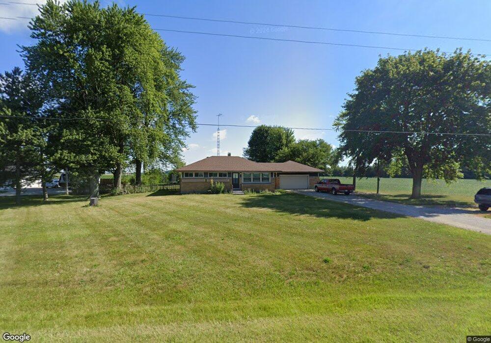
This home is located at 5737 State Route 718, Troy, OH 45373 and is currently estimated at $241,142, approximately $185 per square foot. 5737 State Route 718 is a home located in Miami County with nearby schools including Newton Elementary School, Newton High School, and Troy Christian Elementary School.
Ownership History
Date
Name
Owned For
Owner Type
Purchase Details
Closed on
Dec 5, 2019
Sold by
Sleppy Shane M
Bought by
Rich Hudson
Current Estimated Value
Home Financials for this Owner
Home Financials are based on the most recent Mortgage that was taken out on this home.
Original Mortgage
$137,750
Outstanding Balance
$122,654
Interest Rate
4.12%
Mortgage Type
New Conventional
Estimated Equity
$118,488
Purchase Details
Closed on
Feb 12, 2019
Sold by
Chaney Cheryl F and Chaney Billy J
Bought by
Patten Anita Johnson and Chaney Cherylfay
Purchase Details
Closed on
Dec 19, 2006
Sold by
Christian Barry G and Christian Larry D
Bought by
Sleppy Shane M
Purchase Details
Closed on
Aug 3, 2000
Sold by
Christian Catherine L
Bought by
Copas Deborah L and Christian Barry G
Purchase Details
Closed on
Jun 26, 2000
Sold by
Christian Douglas P
Bought by
Christian Catherine L
Purchase Details
Closed on
Jul 30, 1990
Bought by
Copas Deborah L
Create a Home Valuation Report for This Property
The Home Valuation Report is an in-depth analysis detailing your home's value as well as a comparison with similar homes in the area
Home Values in the Area
Average Home Value in this Area
Purchase History
| Date | Buyer | Sale Price | Title Company |
|---|---|---|---|
| Rich Hudson | $145,000 | None Available | |
| Patten Anita Johnson | -- | None Available | |
| Sleppy Shane M | $92,000 | -- | |
| Copas Deborah L | -- | -- | |
| Christian Catherine L | -- | -- | |
| Copas Deborah L | -- | -- |
Source: Public Records
Mortgage History
| Date | Status | Borrower | Loan Amount |
|---|---|---|---|
| Open | Rich Hudson | $137,750 |
Source: Public Records
Tax History Compared to Growth
Tax History
| Year | Tax Paid | Tax Assessment Tax Assessment Total Assessment is a certain percentage of the fair market value that is determined by local assessors to be the total taxable value of land and additions on the property. | Land | Improvement |
|---|---|---|---|---|
| 2024 | $1,755 | $46,060 | $8,680 | $37,380 |
| 2023 | $1,755 | $46,060 | $8,680 | $37,380 |
| 2022 | $1,713 | $46,060 | $8,680 | $37,380 |
| 2021 | $1,526 | $38,400 | $7,250 | $31,150 |
| 2020 | $1,530 | $38,400 | $7,250 | $31,150 |
| 2019 | $1,430 | $38,400 | $7,250 | $31,150 |
| 2018 | $1,106 | $29,720 | $7,210 | $22,510 |
| 2017 | $1,116 | $29,720 | $7,210 | $22,510 |
| 2016 | $1,103 | $29,720 | $7,210 | $22,510 |
| 2015 | $1,165 | $28,560 | $6,930 | $21,630 |
| 2014 | $1,165 | $28,560 | $6,930 | $21,630 |
| 2013 | $1,177 | $28,560 | $6,930 | $21,630 |
Source: Public Records
Map
Nearby Homes
- 1 N Main St
- 106 W Hill St
- 120 Pipers Pine Dr
- 120 Piper's Pine Dr
- 7721 Fenner Rd
- State Route 48
- 2222 Larkspur Dr
- 2791 Meadowpoint Dr
- 2786 Executive Dr
- 4063 W State Route 55
- 2968 Hoying Dr
- 2960 Hoying Dr
- 2952 Hoying Dr
- 2944 Hoying Dr
- 2936 Hoying Dr
- 2740 Liette Dr
- Holcombe Plan at Reserve at Cliff Oaks
- Chatham Plan at Reserve at Cliff Oaks
- Bridgeport Plan at Reserve at Cliff Oaks
- Newcastle Plan at Reserve at Cliff Oaks
- 5737 Ohio 718
- 5765 State Route 718
- 5545 State Route 718
- 128 N Greenlee Rd
- 230 N Greenlee Rd
- 00 S Greenlee Rd
- 000 S Greenlee Rd
- 0 S Greenlee Rd
- 3 S Greenlee Rd
- 25 N Greenlee Rd
- 15 S Greenlee Rd
- 5420 State Route 718
- 77 S Greenlee Rd
- 5394 State Route 718
- Lot D Greenlee Rd
- 4 Greenlee Rd
- 109 S Greenlee Rd
- 5368 State Route 718
- 206 S Greenlee Rd
- 5342 State Route 718