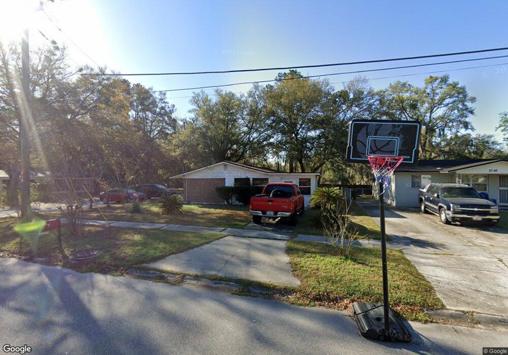
5738 Kinlock Dr S Jacksonville, FL 32219
Cisco Gardens/Picketville NeighborhoodEstimated Value: $180,000 - $199,000
3
Beds
2
Baths
1,200
Sq Ft
$158/Sq Ft
Est. Value
About This Home
This home is located at 5738 Kinlock Dr S, Jacksonville, FL 32219 and is currently estimated at $189,987, approximately $158 per square foot. 5738 Kinlock Dr S is a home located in Duval County with nearby schools including Rufus E. Payne Elementary School, Jean Ribault Middle School, and Jean Ribault High School.
Ownership History
Date
Name
Owned For
Owner Type
Purchase Details
Closed on
Jul 25, 2022
Sold by
Mae Riley Ola
Bought by
Generation Rental Properties Llc
Current Estimated Value
Purchase Details
Closed on
Jul 13, 2009
Sold by
Riley Ola M and Mcghee Ola Mae
Bought by
Riley Ola M
Home Financials for this Owner
Home Financials are based on the most recent Mortgage that was taken out on this home.
Original Mortgage
$99,460
Interest Rate
5.14%
Mortgage Type
FHA
Create a Home Valuation Report for This Property
The Home Valuation Report is an in-depth analysis detailing your home's value as well as a comparison with similar homes in the area
Home Values in the Area
Average Home Value in this Area
Purchase History
| Date | Buyer | Sale Price | Title Company |
|---|---|---|---|
| Generation Rental Properties Llc | $30,000 | None Listed On Document | |
| Riley Ola M | -- | Accommodation |
Source: Public Records
Mortgage History
| Date | Status | Borrower | Loan Amount |
|---|---|---|---|
| Previous Owner | Riley Ola M | $99,460 |
Source: Public Records
Tax History Compared to Growth
Tax History
| Year | Tax Paid | Tax Assessment Tax Assessment Total Assessment is a certain percentage of the fair market value that is determined by local assessors to be the total taxable value of land and additions on the property. | Land | Improvement |
|---|---|---|---|---|
| 2025 | $2,817 | $150,512 | $41,998 | $108,514 |
| 2024 | $2,623 | $145,839 | $41,998 | $103,841 |
| 2023 | $2,623 | $134,280 | $30,544 | $103,736 |
| 2022 | $729 | $66,659 | $0 | $0 |
| 2021 | $735 | $64,718 | $0 | $0 |
| 2020 | $734 | $63,825 | $0 | $0 |
| 2019 | $735 | $62,391 | $0 | $0 |
| 2018 | $733 | $61,228 | $0 | $0 |
| 2017 | $732 | $59,969 | $0 | $0 |
| 2016 | $735 | $58,736 | $0 | $0 |
| 2015 | $743 | $58,328 | $0 | $0 |
| 2014 | $733 | $55,985 | $0 | $0 |
Source: Public Records
Map
Nearby Homes
- 6401 Kinlock Dr
- 6554 New Kings Rd
- 6647 Manhattan Dr
- 5706 Kinlock Ct
- 0 Hema Rd
- 6817 W West Virginia Ave
- 6720 Rhode Island Dr E
- 6765 Gaspar Cir E
- 6990 Robert F Kennedy Cir
- 6244 Pettiford Dr W
- 6238 Pettiford Dr W
- 6289 Pettiford Dr W
- 6845 Rhode Island Dr E
- 4924 Hampshire Dr
- 6917 Rhode Island Dr W
- 3181 Brasque Dr
- 3065 Francis Rd
- 6108 Leontyne Price Ct
- 4950 Vermont Rd
- 5676 Soutel Dr
- 5726 Kinlock Ct
- 5717 Kinlock Ct
- 0 Kinlock Dr S
- 5756 Kinlock Dr S
- 5724 Kinlock Dr W
- 5724 Kinlock Dr S
- 6409 Manhattan Dr
- 5716 Kinlock Dr S
- 6412 Manhattan Dr
- 5766 Kinlock Dr S
- 6410 Kinlock Dr
- 6421 Manhattan Dr
- 6407 Kinlock Dr W
- 6422 Kinlock Dr
- 6426 Manhattan Dr
- 5774 Kinlock Dr S
- 6431 Manhattan Dr
- 6432 Kinlock Dr
- 6430 Kinlock Dr W
- 6420 Kinlock Dr W