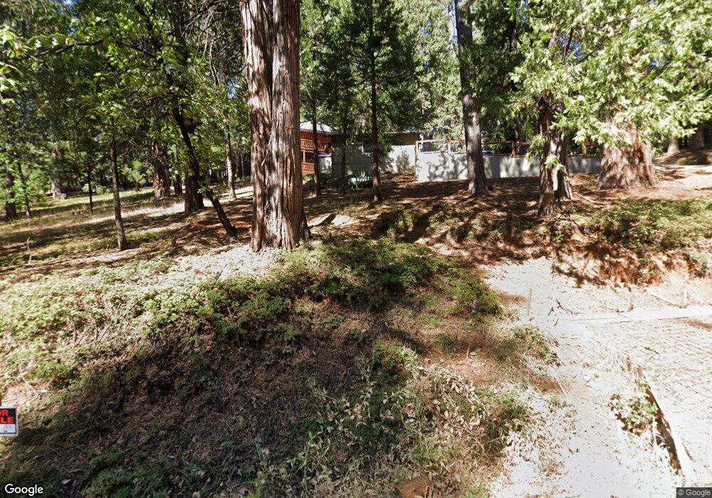
574 Dean Way Unit 2 Arnold, CA 95223
Estimated Value: $395,000 - $532,000
3
Beds
2
Baths
1,250
Sq Ft
$350/Sq Ft
Est. Value
About This Home
This home is located at 574 Dean Way Unit 2, Arnold, CA 95223 and is currently estimated at $437,866, approximately $350 per square foot. 574 Dean Way Unit 2 is a home located in Calaveras County with nearby schools including Bret Harte Union High School.
Ownership History
Date
Name
Owned For
Owner Type
Purchase Details
Closed on
Nov 13, 2017
Sold by
Ogburn Michale A and Ogburn Trust
Bought by
Shelley Paula Ann and Shelley Mcihale Gleen
Current Estimated Value
Purchase Details
Closed on
Oct 12, 2015
Sold by
Ogburn Michael A
Bought by
Ogburn Michael A and The Michael A Ogburn Trust
Purchase Details
Closed on
Jul 31, 2002
Sold by
Thomas Leonard E and The Len Thomas Trust
Bought by
Ogburn Michael A
Home Financials for this Owner
Home Financials are based on the most recent Mortgage that was taken out on this home.
Original Mortgage
$159,300
Interest Rate
6.43%
Create a Home Valuation Report for This Property
The Home Valuation Report is an in-depth analysis detailing your home's value as well as a comparison with similar homes in the area
Home Values in the Area
Average Home Value in this Area
Purchase History
| Date | Buyer | Sale Price | Title Company |
|---|---|---|---|
| Shelley Paula Ann | $302,000 | Placer Title Co | |
| Ogburn Michael A | -- | None Available | |
| Ogburn Michael A | $187,500 | First American Title Ins Co |
Source: Public Records
Mortgage History
| Date | Status | Borrower | Loan Amount |
|---|---|---|---|
| Previous Owner | Ogburn Michael A | $159,300 |
Source: Public Records
Tax History Compared to Growth
Tax History
| Year | Tax Paid | Tax Assessment Tax Assessment Total Assessment is a certain percentage of the fair market value that is determined by local assessors to be the total taxable value of land and additions on the property. | Land | Improvement |
|---|---|---|---|---|
| 2025 | $4,250 | $343,619 | $34,133 | $309,486 |
| 2023 | $4,139 | $330,277 | $32,808 | $297,469 |
| 2022 | $3,934 | $323,802 | $32,165 | $291,637 |
| 2021 | $3,915 | $317,454 | $31,535 | $285,919 |
| 2020 | $3,871 | $314,200 | $31,212 | $282,988 |
| 2019 | $3,824 | $308,040 | $30,600 | $277,440 |
| 2018 | $3,600 | $302,000 | $30,000 | $272,000 |
| 2017 | $2,343 | $196,000 | $30,000 | $166,000 |
| 2016 | $2,245 | $184,000 | $30,000 | $154,000 |
| 2015 | -- | $184,000 | $30,000 | $154,000 |
| 2014 | -- | $161,000 | $30,000 | $131,000 |
Source: Public Records
Map
Nearby Homes
- 646 Dean Way
- 729 Dawyn Dr
- 923 Bear Run Way
- 845 Honey Ct
- 829 Honey Ct
- 1547 Anna Lee Way
- 284 Blue Lake Springs Dr
- 167 Linda Dr
- 791 Highway 4
- 1567 2nd St
- 1109 Wawona Way
- 1648 2nd St
- 1425 Cypress Point Dr
- 2253 Meadow Dr
- 1677 2nd St
- 1027 Ponderosa Way
- 1856 Anna Lee Way
- 678 Summit View Rd
- 1340 San Ramon Dr
- 1262 Pebble Beach Way
