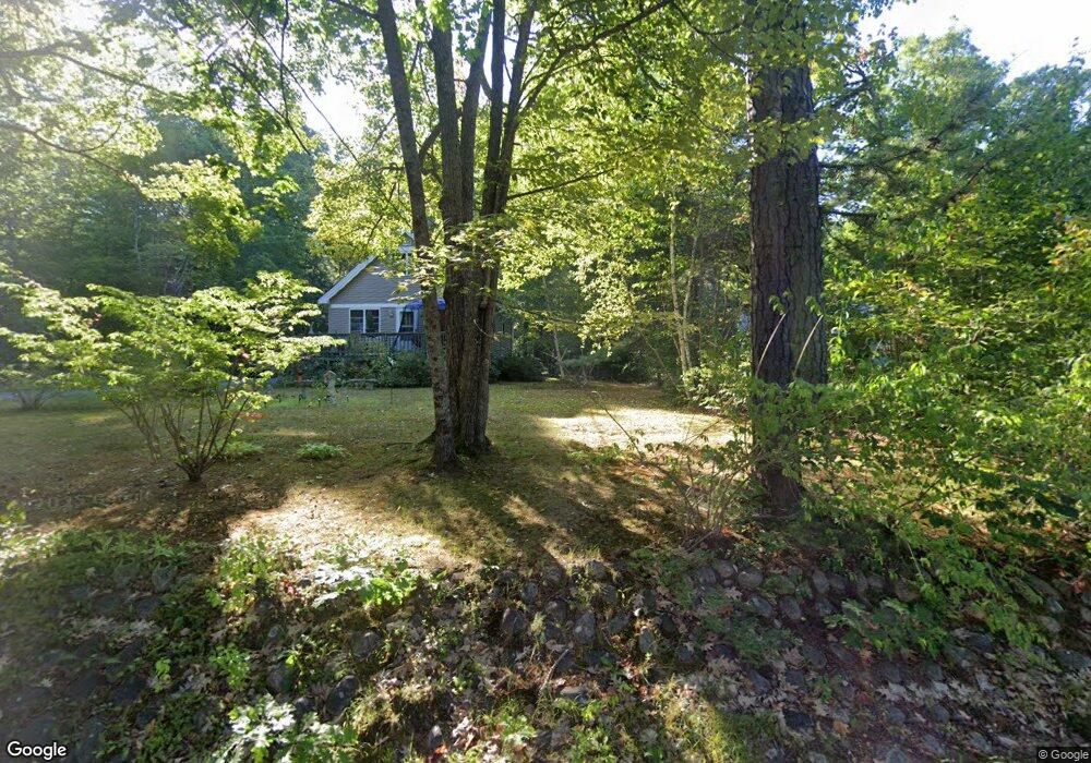
574 E Shore Dr Silver Lake, NH 03875
Estimated Value: $371,656 - $456,000
3
Beds
2
Baths
1,055
Sq Ft
$386/Sq Ft
Est. Value
About This Home
This home is located at 574 E Shore Dr, Silver Lake, NH 03875 and is currently estimated at $406,914, approximately $385 per square foot. 574 E Shore Dr is a home located in Carroll County with nearby schools including Madison Elementary School.
Ownership History
Date
Name
Owned For
Owner Type
Purchase Details
Closed on
Jul 22, 2004
Sold by
Vonhandorf Joseph G
Bought by
Macdonald Malcolm J and Macdonald Margery J
Current Estimated Value
Home Financials for this Owner
Home Financials are based on the most recent Mortgage that was taken out on this home.
Original Mortgage
$127,425
Outstanding Balance
$62,085
Interest Rate
6.28%
Mortgage Type
Purchase Money Mortgage
Estimated Equity
$344,829
Create a Home Valuation Report for This Property
The Home Valuation Report is an in-depth analysis detailing your home's value as well as a comparison with similar homes in the area
Home Values in the Area
Average Home Value in this Area
Purchase History
| Date | Buyer | Sale Price | Title Company |
|---|---|---|---|
| Macdonald Malcolm J | $169,900 | -- |
Source: Public Records
Mortgage History
| Date | Status | Borrower | Loan Amount |
|---|---|---|---|
| Open | Macdonald Malcolm J | $127,425 |
Source: Public Records
Tax History
| Year | Tax Paid | Tax Assessment Tax Assessment Total Assessment is a certain percentage of the fair market value that is determined by local assessors to be the total taxable value of land and additions on the property. | Land | Improvement |
|---|---|---|---|---|
| 2025 | $3,733 | $415,700 | $181,700 | $234,000 |
| 2024 | $3,219 | $204,100 | $88,800 | $115,300 |
| 2023 | $3,466 | $204,100 | $88,800 | $115,300 |
| 2022 | $3,162 | $204,100 | $88,800 | $115,300 |
| 2021 | $2,748 | $199,600 | $84,400 | $115,200 |
| 2020 | $3,054 | $199,600 | $84,400 | $115,200 |
| 2019 | $2,785 | $152,500 | $52,300 | $100,200 |
| 2018 | $2,887 | $152,500 | $52,300 | $100,200 |
| 2017 | $2,577 | $152,500 | $52,300 | $100,200 |
| 2015 | $2,443 | $148,000 | $52,300 | $95,700 |
| 2014 | $2,432 | $152,400 | $52,300 | $100,100 |
| 2013 | $2,405 | $152,400 | $52,300 | $100,100 |
Source: Public Records
Map
Nearby Homes
- 156 Fawn Dr
- 12 Logan Way
- 121 Charlotte Point Rd
- 5 Whittier Rd
- Lot 18.1 White Mountain Hwy
- 78 Berry Ln
- 24 Flynn Ln
- 48 South Way
- 23 Poco Dr
- 915 E Madison Rd
- 1785 White Mountain Hwy
- 00 Alden Washburn Dr Unit 70
- 70 White Mountain Hwy
- 152 George Chick Dr
- 71 Deer Run Dr
- 34 Abenaki Dr
- 68 & 00 Gilman Valley & Route 25 W
- 00 Route 25 W Unit tbd
- 63 Whipples Way
- 334 Fox Rd
- 558 E Shore Dr
- 580 E Shore Dr
- 556 E Shore Dr
- 573 E Shore Dr
- 585 E Shore Dr
- 549 E Shore Dr
- 590 E Shore Dr
- 599 E Shore Dr
- 533 E Shore Dr
- 610 E Shore Dr
- 601 E Shore Dr
- 48 Cranberry Ln
- 617 E Shore Dr
- 635 E Shore Dr
- 504 E Shore Dr
- 651 E Shore Dr
- 483 E Shore Dr
- 110 E Shore Dr
- 484 E Shore Dr
- 657 E Shore Dr
Your Personal Tour Guide
Ask me questions while you tour the home.