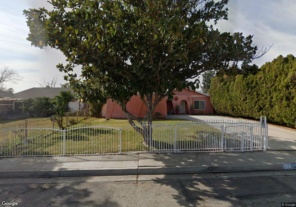
574 N Loretta St Rialto, CA 92376
Terrace NeighborhoodEstimated Value: $492,421 - $561,000
3
Beds
2
Baths
1,188
Sq Ft
$443/Sq Ft
Est. Value
About This Home
This home is located at 574 N Loretta St, Rialto, CA 92376 and is currently estimated at $526,105, approximately $442 per square foot. 574 N Loretta St is a home located in San Bernardino County with nearby schools including Bemis Elementary School, Frisbie Middle School, and Eisenhower High School.
Ownership History
Date
Name
Owned For
Owner Type
Purchase Details
Closed on
Apr 20, 2022
Sold by
Renteria Tito A and Renteria Nereyda E
Bought by
Renteria Tito A
Current Estimated Value
Home Financials for this Owner
Home Financials are based on the most recent Mortgage that was taken out on this home.
Original Mortgage
$250,000
Outstanding Balance
$232,548
Interest Rate
3.85%
Mortgage Type
New Conventional
Estimated Equity
$293,557
Purchase Details
Closed on
Mar 17, 2000
Sold by
Percy Charles R & Alma I Revocable Tr
Bought by
Renteria Tito A and Renteria Nereyda E
Home Financials for this Owner
Home Financials are based on the most recent Mortgage that was taken out on this home.
Original Mortgage
$87,865
Interest Rate
8.38%
Mortgage Type
FHA
Purchase Details
Closed on
Nov 28, 1995
Sold by
Standard Mtg Company Inc
Bought by
Percy Charles R and Percy Alma I
Create a Home Valuation Report for This Property
The Home Valuation Report is an in-depth analysis detailing your home's value as well as a comparison with similar homes in the area
Home Values in the Area
Average Home Value in this Area
Purchase History
| Date | Buyer | Sale Price | Title Company |
|---|---|---|---|
| Renteria Tito A | -- | Priority Title | |
| Renteria Tito A | $88,000 | First American Title Ins Co | |
| Percy Charles R | $44,959 | First American Title Ins |
Source: Public Records
Mortgage History
| Date | Status | Borrower | Loan Amount |
|---|---|---|---|
| Open | Renteria Tito A | $250,000 | |
| Previous Owner | Renteria Tito A | $87,865 |
Source: Public Records
Tax History
| Year | Tax Paid | Tax Assessment Tax Assessment Total Assessment is a certain percentage of the fair market value that is determined by local assessors to be the total taxable value of land and additions on the property. | Land | Improvement |
|---|---|---|---|---|
| 2025 | $1,856 | $135,255 | $33,814 | $101,441 |
| 2024 | $1,791 | $132,603 | $33,151 | $99,452 |
| 2023 | $1,895 | $130,003 | $32,501 | $97,502 |
| 2022 | $1,678 | $127,454 | $31,864 | $95,590 |
| 2021 | $1,661 | $124,955 | $31,239 | $93,716 |
| 2020 | $1,666 | $123,674 | $30,919 | $92,755 |
| 2019 | $1,630 | $121,249 | $30,313 | $90,936 |
| 2018 | $1,584 | $118,872 | $29,719 | $89,153 |
| 2017 | $1,567 | $116,541 | $29,136 | $87,405 |
| 2016 | $1,545 | $114,256 | $28,565 | $85,691 |
| 2015 | $1,401 | $112,540 | $28,136 | $84,404 |
| 2014 | $1,315 | $110,336 | $27,585 | $82,751 |
Source: Public Records
Map
Nearby Homes
- 2837 7th St
- 2848 7th St
- 775 E Foothill Blvd Unit 14
- 2717 W 6th St
- 595 N Meridian Ave
- 347 N Eucalyptus Ave Unit 24
- 559 N Marvin Dr
- 866 N Eucalyptus Ave
- 508 N Joyce Ave
- 185 N Eucalyptus Ave Unit 53
- 525 E 3rd St
- 2505 W E Foothill Blvd Unit 231
- 332 E Rosewood St
- 2470 W 6th St
- 645 E King St
- 2495 Etiwanda Ave
- 2505 Foothill Blvd Unit 97
- 2505 Foothill Blvd Unit 76
- 2505 Foothill Blvd Unit 122
- 2505 Foothill Blvd Unit 113
- 584 N Loretta St
- 564 N Loretta St
- 575 N Lamarr St
- 585 N Lamarr St
- 565 N Lamarr St
- 594 N Loretta St
- 554 N Loretta St
- 2914 Saint Elmo Dr
- 2915 6th St
- 595 N Lamarr St
- 555 N Lamarr St
- 608 N Birch Ave
- 545 N Lamarr St
- 2915 Saint Elmo Dr
- 2904 Saint Elmo Dr
- 607 N Lamarr St
- 2905 6th St
- 574 N Lamarr St
- 564 N Lamarr St
- 584 N Lamarr St
Your Personal Tour Guide
Ask me questions while you tour the home.