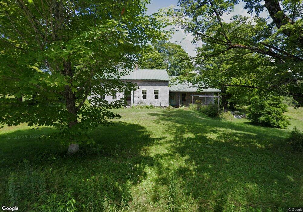
574 Route 8a Heath, MA 01346
Heath NeighborhoodEstimated Value: $196,000 - $333,000
About This Home
This home is located at 574 Route 8a, Heath, MA 01346 and is currently estimated at $234,211, approximately $161 per square foot. 574 Route 8a is a home with nearby schools including Mohawk Trail Regional High School.
Ownership History
We collect this data history from publicly available records. To have your information removed, we recommend requesting removal directly through your county’s website.
Purchase Details
Home Financials for this Owner
Home Financials are based on the most recent Mortgage that was taken out on this home.Home Values in the Area
Average Home Value in this Area
Purchase History
We collect this data history from publicly available records. To have your information removed, we recommend requesting removal directly through your county’s website.
| Date | Buyer | Sale Price | Title Company |
|---|---|---|---|
| $158,000 | -- |
Mortgage History
We collect this data history from publicly available records. To have your information removed, we recommend requesting removal directly through your county’s website.
| Date | Status | Borrower | Loan Amount |
|---|---|---|---|
| Open | $108,000 |
Tax History
We collect this data history from publicly available records. To have your information removed, we recommend requesting removal directly through your county’s website.
| Year | Tax Paid | Tax Assessment Tax Assessment Total Assessment is a certain percentage of the fair market value that is determined by local assessors to be the total taxable value of land and additions on the property. | Land | Improvement |
|---|---|---|---|---|
| 2025 | $2,530 | $134,500 | $39,000 | $95,500 |
| 2024 | $2,603 | $127,400 | $35,000 | $92,400 |
| 2023 | $2,624 | $114,700 | $25,600 | $89,100 |
| 2022 | $2,452 | $114,000 | $25,600 | $88,400 |
| 2021 | $2,473 | $109,800 | $25,500 | $84,300 |
| 2020 | $2,285 | $102,700 | $24,400 | $78,300 |
| 2019 | $2,218 | $102,700 | $24,400 | $78,300 |
| 2018 | $2,240 | $102,700 | $24,400 | $78,300 |
| 2017 | $2,219 | $105,700 | $24,400 | $81,300 |
| 2016 | $2,168 | $105,700 | $24,400 | $81,300 |
| 2015 | $2,110 | $105,700 | $24,400 | $81,300 |
Map
- 0 Sadoga Rd Unit 249488
- 0 Sadoga Rd Unit 73507720
- 594 Massachusetts 8a
- 442 Mcmillan Rd
- 985 Chapel Hill Rd
- 0 Number 9 Rd
- Lot 0 Saddada Rd
- 1192 Chapel Hill Rd
- 144 Branch Hill Rd
- 2173 Vermont 8a
- 2448 Burrington Hill Rd
- 60 Stone Hill Rd
- 54 Papoose Lake Dr
- 2245 Burrington Hill Rd
- 251 Phillips Hill Rd
- 2 Modoc Dr
- 3 Flagg Hill Rd
- Lot 121 Davis Mine Rd
- 5 Leshures Rd
- 2 Leshures Rd
- 260 Route 8a N
- 0 Sadoga Rd
- 0 Sadoga Rd Unit 70479764
- 0 Sadoga Rd Unit 70069223
- 0 Sadoga Rd Unit 70591639
- 0 Sadoga Rd Unit 30437502
- 0 Sadoga Rd Unit 72489715
- 12 Sadoga Rd
- 250 Route 8a N
- 562 Route 8a
- 17 Sadoga Rd
- 93 Route 8a N
- 8 North St
- 8 North St
- 8 North St
- 0 Branch Hill Rd
- 25 W Branch Rd
- 13 W Branch Rd
- 19 Sadoga Rd
- 13 W Branch Rd
Ask me questions while you tour the home.