574 Shepherds Ridge Morganton, GA 30560
Estimated Value: $911,000 - $1,266,000
4
Beds
3
Baths
2,598
Sq Ft
$408/Sq Ft
Est. Value
About This Home
This home is located at 574 Shepherds Ridge, Morganton, GA 30560 and is currently estimated at $1,059,151, approximately $407 per square foot. 574 Shepherds Ridge is a home located in Fannin County with nearby schools including Fannin County High School.
Ownership History
Date
Name
Owned For
Owner Type
Purchase Details
Closed on
Jan 1, 2025
Sold by
Caschette Rebecca
Bought by
Sacco Nicholas Charles
Current Estimated Value
Purchase Details
Closed on
Sep 4, 2014
Sold by
Sacco V Frank
Bought by
Caschette Rebecca
Purchase Details
Closed on
Dec 28, 2005
Sold by
Crowell Vincent L
Bought by
Sacco Frank V and Caschette Rebecca E
Home Financials for this Owner
Home Financials are based on the most recent Mortgage that was taken out on this home.
Original Mortgage
$200,000
Interest Rate
6.18%
Mortgage Type
New Conventional
Purchase Details
Closed on
Feb 21, 2003
Sold by
Crowell Vincent L and Crowell Carla M
Bought by
Crowell Vincent L and Crowell Carla
Purchase Details
Closed on
Apr 19, 2002
Sold by
New Creation Land Developers Inc
Bought by
Crowell Vincent L and Crowell Carla M
Create a Home Valuation Report for This Property
The Home Valuation Report is an in-depth analysis detailing your home's value as well as a comparison with similar homes in the area
Home Values in the Area
Average Home Value in this Area
Purchase History
| Date | Buyer | Sale Price | Title Company |
|---|---|---|---|
| Sacco Nicholas Charles | -- | -- | |
| Caschette Rebecca | -- | -- | |
| Sacco V Frank | -- | -- | |
| Sacco Frank V | $400,000 | -- | |
| Crowell Vincent L | -- | -- | |
| Crowell Vincent L | $69,900 | -- |
Source: Public Records
Mortgage History
| Date | Status | Borrower | Loan Amount |
|---|---|---|---|
| Previous Owner | Sacco Frank V | $200,000 |
Source: Public Records
Tax History
| Year | Tax Paid | Tax Assessment Tax Assessment Total Assessment is a certain percentage of the fair market value that is determined by local assessors to be the total taxable value of land and additions on the property. | Land | Improvement |
|---|---|---|---|---|
| 2025 | $3,465 | $381,931 | $23,000 | $358,931 |
| 2024 | $35 | $381,931 | $23,000 | $358,931 |
| 2023 | $3,970 | $389,360 | $23,000 | $366,360 |
| 2022 | $4,013 | $393,687 | $23,000 | $370,687 |
| 2021 | $2,537 | $180,948 | $23,000 | $157,948 |
| 2020 | $2,579 | $180,948 | $23,000 | $157,948 |
| 2019 | $2,629 | $180,948 | $23,000 | $157,948 |
| 2018 | $2,006 | $130,240 | $23,000 | $107,240 |
| 2017 | $2,256 | $127,522 | $19,044 | $108,478 |
| 2016 | $1,984 | $116,833 | $19,044 | $97,789 |
| 2015 | $1,834 | $103,366 | $19,044 | $84,322 |
| 2014 | $2,022 | $114,142 | $19,044 | $95,098 |
| 2013 | -- | $96,192 | $19,044 | $77,148 |
Source: Public Records
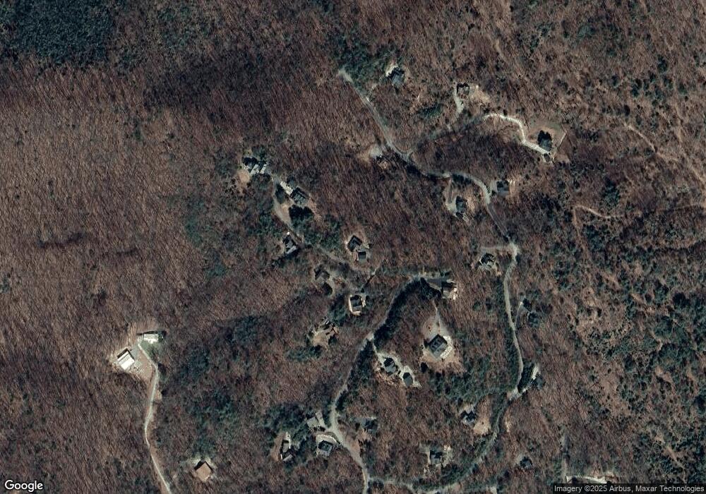
Map
Nearby Homes
- 455 Shepherds Walk
- Lot 38 Shepherds Way
- 180 Shepherds Ridge
- 76 Channing Hollow
- 116 Channing Ridge Rd
- 116 Channing Ridge Rd Unit 10
- 45 Channing Ridge Rd
- 0 N Burgess Gap Rd Unit 24911808
- 0 N Burgess Gap Rd Unit 10610901
- 0 Deer Run Unit 10695944
- 16894 Morganton Hwy
- 16 Enchanting Cir
- 224 Eagle Ridge
- 380 Oak Ridge Way
- 192 Oak Ridge Way
- 280 Star Creek Crossing
- 44 Three Springs
- 195 Hoot Owl Ridge
- 164 Hoot Owl Hill
- 1.01 AC Heards Ridge
- 26 Shepherds Place
- 581 Shepherds Ridge
- 704 Shepherds Ridge
- 637 Shepherds Ridge
- 45 Shepherds Place
- 540 Shepherds Ridge
- 540 Shepherds Ridge
- 540 Shepherds Ridge
- 393 Shepherds Walk
- 707 Shepherds Ridge
- 295 Shepherds Walk
- 534 Shepherds Ridge
- 534 Shepherds Ridge
- 472 Shepherds Ridge
- 502 Shepherds Walk
- 455 Shepherds Walk Unit 53
- 352 Shepherd's Walk
- 6 Shepherds Ln
- 6 Shepherds Ln
- 6 Shepherds Ln
Your Personal Tour Guide
Ask me questions while you tour the home.