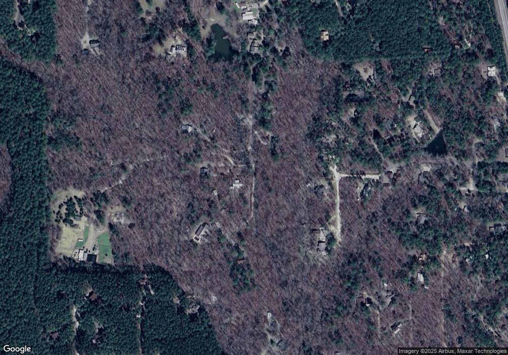
574 Stevens Rd Broken Bow, OK 74728
Estimated Value: $343,342 - $545,000
2
Beds
1
Bath
1,088
Sq Ft
$404/Sq Ft
Est. Value
About This Home
This home is located at 574 Stevens Rd, Broken Bow, OK 74728 and is currently estimated at $440,086, approximately $404 per square foot. 574 Stevens Rd is a home with nearby schools including Battiest Elementary School and Battiest High School.
Ownership History
Date
Name
Owned For
Owner Type
Purchase Details
Closed on
May 31, 2012
Sold by
Treat Daniel and Treat Sharon Hendon
Bought by
Simon Michael John and Simon Nancy Jane
Current Estimated Value
Home Financials for this Owner
Home Financials are based on the most recent Mortgage that was taken out on this home.
Original Mortgage
$151,632
Interest Rate
3.83%
Mortgage Type
Construction
Purchase Details
Closed on
May 1, 1995
Sold by
Phillips Matt
Bought by
Schultz Randy and Schultz Sharon
Create a Home Valuation Report for This Property
The Home Valuation Report is an in-depth analysis detailing your home's value as well as a comparison with similar homes in the area
Home Values in the Area
Average Home Value in this Area
Purchase History
| Date | Buyer | Sale Price | Title Company |
|---|---|---|---|
| Simon Michael John | $80,000 | None Available | |
| Schultz Randy | $100,000 | -- |
Source: Public Records
Mortgage History
| Date | Status | Borrower | Loan Amount |
|---|---|---|---|
| Closed | Simon Michael John | $151,632 |
Source: Public Records
Tax History
| Year | Tax Paid | Tax Assessment Tax Assessment Total Assessment is a certain percentage of the fair market value that is determined by local assessors to be the total taxable value of land and additions on the property. | Land | Improvement |
|---|---|---|---|---|
| 2025 | $1,435 | $19,051 | $4,532 | $14,519 |
| 2024 | $1,391 | $18,496 | $4,400 | $14,096 |
| 2023 | $1,408 | $17,957 | $4,400 | $13,557 |
| 2022 | $1,408 | $17,957 | $4,400 | $13,557 |
| 2021 | $1,454 | $17,957 | $4,400 | $13,557 |
| 2020 | $1,436 | $18,100 | $4,400 | $13,700 |
| 2019 | $1,869 | $22,500 | $8,800 | $13,700 |
| 2018 | $1,897 | $22,605 | $8,800 | $13,805 |
| 2017 | $1,765 | $22,709 | $8,800 | $13,909 |
| 2016 | $1,747 | $22,365 | $8,800 | $13,565 |
| 2015 | $1,874 | $22,357 | $8,800 | $13,557 |
| 2014 | $675 | $8,800 | $8,800 | $0 |
Source: Public Records
Map
Nearby Homes
- 206 Pinehurst Ln
- 660 Lucian Sorrel Rd
- 204 S Cedar Creek Cir
- 172 Cedar Creek Cir
- 66 Laurel Branch Ln
- 250 Almond Ln
- 53 E Fork Rd
- 167 Penner Rd
- 26 Mangrove Rd
- 253 Western Pine Trail
- 242 Lucian Sorrel Rd
- 68 E G Ln
- 45 Owl Tree Ln
- 141 Lost Oaks Trail
- 66 Lost Oaks Trail
- 697 Timber Creek Trails South XI
- 667 Timber Creek Trails South XI
- 737 Timber Creek Trails South XI
- 745 Timber Creek Trails South XI
- 777 Timber Creek Trails South XI
- 0 Pinehurst Ln Unit 967473
- 566 Stevens Rd
- 592 Stevens Rd
- 217 Pinehurst Ln
- 258 Pinehurst Ln
- 437 Lucian Sorrel Rd
- 227 Pinehurst Ln
- 119 Breeann Cir
- 526 Stevens Rd
- 136 Pinehurst Ln
- 136 Pinehurst Ln
- 69 Breeann Cir
- 15 Pinehurst Ln
- 12 Pinehurst Ln
- Lot 2 Breeann Cir
- 88 Pine Ridge Trail
- 502 Stevens Rd
- 70 Pinehurst Ln
- 0 Lot 148 Unit 989490
- 480 Stevens Rd
