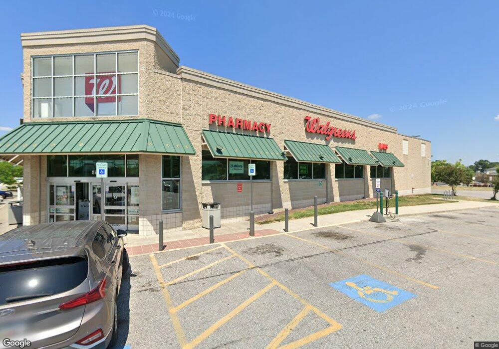
5740 Ritchie Hwy Baltimore, MD 21225
Estimated Value: $11,763,042
--
Bed
--
Bath
14,476
Sq Ft
$813/Sq Ft
Est. Value
About This Home
This home is located at 5740 Ritchie Hwy, Baltimore, MD 21225 and is currently estimated at $11,763,042, approximately $812 per square foot. 5740 Ritchie Hwy is a home located in Anne Arundel County with nearby schools including Brooklyn Park Elementary School, Brooklyn Park Middle School, and North County High School.
Ownership History
Date
Name
Owned For
Owner Type
Purchase Details
Closed on
Apr 17, 2019
Sold by
Vereit Real Estate Lp
Bought by
Wg Brooklyn Llc
Current Estimated Value
Home Financials for this Owner
Home Financials are based on the most recent Mortgage that was taken out on this home.
Original Mortgage
$4,768,000
Outstanding Balance
$4,191,919
Interest Rate
4.3%
Mortgage Type
Commercial
Estimated Equity
$7,571,123
Purchase Details
Closed on
Dec 30, 2009
Sold by
Ritchie Hwy Rx Corp
Bought by
Cole Wg Brooklyn Park Md Llc
Purchase Details
Closed on
Jun 5, 2008
Sold by
Boulevard Corp
Bought by
Ritchie Hwy Rx Corp
Purchase Details
Closed on
Jun 4, 2008
Sold by
Boulevard Corp
Bought by
Ritchie Hwy Rx Corp
Create a Home Valuation Report for This Property
The Home Valuation Report is an in-depth analysis detailing your home's value as well as a comparison with similar homes in the area
Home Values in the Area
Average Home Value in this Area
Purchase History
| Date | Buyer | Sale Price | Title Company |
|---|---|---|---|
| Wg Brooklyn Llc | $5,960,000 | First American Title Ins Co | |
| Cole Wg Brooklyn Park Md Llc | $4,829,000 | -- | |
| Ritchie Hwy Rx Corp | $1,475,000 | -- | |
| Ritchie Hwy Rx Corp | $1,475,000 | -- |
Source: Public Records
Mortgage History
| Date | Status | Borrower | Loan Amount |
|---|---|---|---|
| Open | Wg Brooklyn Llc | $4,768,000 |
Source: Public Records
Tax History Compared to Growth
Tax History
| Year | Tax Paid | Tax Assessment Tax Assessment Total Assessment is a certain percentage of the fair market value that is determined by local assessors to be the total taxable value of land and additions on the property. | Land | Improvement |
|---|---|---|---|---|
| 2025 | $65,122 | $5,160,300 | $657,600 | $4,502,700 |
| 2024 | $65,122 | $5,805,400 | $657,600 | $5,147,800 |
| 2023 | $70,619 | $6,331,533 | $0 | $0 |
| 2022 | $64,491 | $6,036,600 | $657,600 | $5,379,000 |
| 2021 | $114,628 | $5,349,833 | $0 | $0 |
| 2020 | $50,194 | $4,663,067 | $0 | $0 |
| 2019 | $43,042 | $3,976,300 | $650,700 | $3,325,600 |
| 2018 | $36,685 | $3,617,833 | $0 | $0 |
| 2017 | $31,132 | $3,259,367 | $0 | $0 |
| 2016 | -- | $2,900,900 | $0 | $0 |
| 2015 | -- | $2,881,200 | $0 | $0 |
| 2014 | -- | $2,861,500 | $0 | $0 |
Source: Public Records
Map
Nearby Homes
- 0 Camrose Ave
- 100 Wallace Ave
- 243 Hammonds Ln
- 10 Cedar Hill Rd
- 14 Cedar Hill Rd
- 205 Camrose Ave
- 314 Seward Ave
- 120 Cedar Hill Rd
- 158 Rebecca Hammond Ct
- 336 Cresswell Rd
- 316 Holy Cross Rd
- 106 13th Ave
- 135 John Daniel Way
- 5300 Brookwood Rd
- 5210 Brookwood Rd
- 444 Seward Ave
- 458 Seward Ave
- 5912 Helfrich Rd
- 6012 Workers Dr
- 5201 Brookwood Rd