5743 Bennett Rd Jackson, MI 49201
Estimated Value: $267,463 - $324,000
3
Beds
2
Baths
1,215
Sq Ft
$250/Sq Ft
Est. Value
About This Home
This home is located at 5743 Bennett Rd, Jackson, MI 49201 and is currently estimated at $303,366, approximately $249 per square foot. 5743 Bennett Rd is a home located in Jackson County with nearby schools including Northwest Early Elementary School, Northwest Elementary School, and Northwest Middle School.
Ownership History
Date
Name
Owned For
Owner Type
Purchase Details
Closed on
Apr 30, 1999
Sold by
Mcarthur Michael A
Bought by
Lumbert Margaret H
Current Estimated Value
Home Financials for this Owner
Home Financials are based on the most recent Mortgage that was taken out on this home.
Original Mortgage
$95,000
Outstanding Balance
$24,546
Interest Rate
7.04%
Estimated Equity
$278,820
Purchase Details
Closed on
Aug 7, 1998
Sold by
Johns Robert E
Bought by
Mcarthur Michael A
Purchase Details
Closed on
May 1, 1994
Bought by
Mays
Create a Home Valuation Report for This Property
The Home Valuation Report is an in-depth analysis detailing your home's value as well as a comparison with similar homes in the area
Purchase History
| Date | Buyer | Sale Price | Title Company |
|---|---|---|---|
| Lumbert Margaret H | -- | -- | |
| Mcarthur Michael A | $15,000 | -- | |
| Mays | -- | -- |
Source: Public Records
Mortgage History
| Date | Status | Borrower | Loan Amount |
|---|---|---|---|
| Open | Lumbert Margaret H | $95,000 |
Source: Public Records
Tax History
| Year | Tax Paid | Tax Assessment Tax Assessment Total Assessment is a certain percentage of the fair market value that is determined by local assessors to be the total taxable value of land and additions on the property. | Land | Improvement |
|---|---|---|---|---|
| 2025 | $2,526 | $129,900 | $0 | $0 |
| 2024 | $12 | $114,400 | $0 | $0 |
| 2023 | $1,183 | $101,900 | $0 | $0 |
| 2022 | $2,291 | $93,900 | $0 | $0 |
| 2021 | $2,254 | $89,000 | $0 | $0 |
| 2020 | $2,235 | $84,700 | $0 | $0 |
| 2019 | $2,181 | $78,300 | $0 | $0 |
| 2018 | $2,155 | $73,500 | $0 | $0 |
| 2017 | $2,031 | $65,500 | $0 | $0 |
| 2016 | $1,996 | $66,189 | $66,189 | $0 |
| 2015 | $1,996 | $73,506 | $73,506 | $0 |
| 2014 | $1,996 | $77,974 | $77,974 | $0 |
| 2013 | -- | $77,974 | $77,974 | $0 |
Source: Public Records
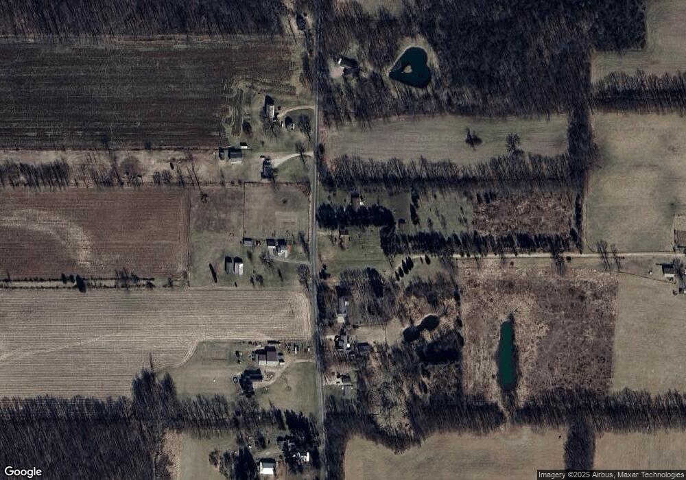
Map
Nearby Homes
- 6631 Springport Rd
- 4350 Bailey Rd
- 8401 Clinton Rd
- 5299 Rives Junction Rd
- 0 Michigan 50
- 3767 Van Horn Rd
- 3776 Hendee Rd
- 7953 Springport Rd
- 5140 Clinton Rd
- 3526 Van Horn Rd
- 4131 York Ln
- 6750 County Farm Rd
- 4048 Knightsbridge Ln
- 4746 Birch Haven Rd
- 3363 Buckthorn Cir
- 4729 Pin Oak Trail
- 3992 Shoreham Dr
- 4211 Laurel
- 3635 Hawthorn Dr
- 2786 Walden Woods Blvd
- 5745 Bennett Rd
- 5717 Bennett Rd
- 5746 Bennett Rd
- 5746 Bennett Rd
- 5746 Bennett Rd
- 5746 Bennett Rd
- 5671 Bennett Rd
- 5778 Bennett Rd
- 5778 Bennett Rd
- 5625 Bennett Rd
- 5832 Bennett Rd
- 5859 Bennett Rd
- 5859 Bennett Rd
- 5520 Bennett Rd
- 5648 Bennett Rd
- 0 Bennett Rd
- 5930 Bennett Rd
- 5721 Bennett Rd
- 5501 Bennett Rd
- 5501 Bennett Rd
Your Personal Tour Guide
Ask me questions while you tour the home.