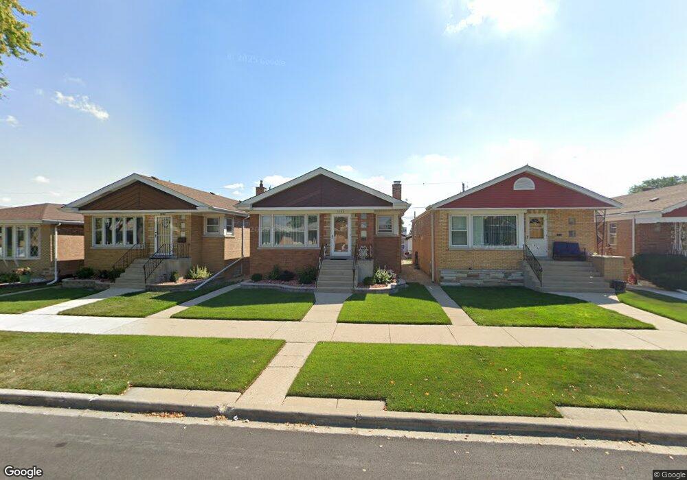
5743 S Massasoit Ave Chicago, IL 60638
Garfield Ridge NeighborhoodEstimated Value: $329,000 - $391,000
3
Beds
1
Bath
1,115
Sq Ft
$312/Sq Ft
Est. Value
About This Home
This home is located at 5743 S Massasoit Ave, Chicago, IL 60638 and is currently estimated at $347,843, approximately $311 per square foot. 5743 S Massasoit Ave is a home located in Cook County with nearby schools including Kinzie Elementary School, Kennedy High School, and Gloria Dei Lutheran School.
Ownership History
Date
Name
Owned For
Owner Type
Purchase Details
Closed on
Nov 17, 1999
Sold by
Kokorzycki Jacek and Kokorzycki Malgorzata
Bought by
Abrego Javier and Abrego Angelina
Current Estimated Value
Home Financials for this Owner
Home Financials are based on the most recent Mortgage that was taken out on this home.
Original Mortgage
$142,800
Interest Rate
7.75%
Mortgage Type
Adjustable Rate Mortgage/ARM
Create a Home Valuation Report for This Property
The Home Valuation Report is an in-depth analysis detailing your home's value as well as a comparison with similar homes in the area
Home Values in the Area
Average Home Value in this Area
Purchase History
| Date | Buyer | Sale Price | Title Company |
|---|---|---|---|
| Abrego Javier | $170,000 | -- |
Source: Public Records
Mortgage History
| Date | Status | Borrower | Loan Amount |
|---|---|---|---|
| Previous Owner | Abrego Javier | $142,800 |
Source: Public Records
Tax History
| Year | Tax Paid | Tax Assessment Tax Assessment Total Assessment is a certain percentage of the fair market value that is determined by local assessors to be the total taxable value of land and additions on the property. | Land | Improvement |
|---|---|---|---|---|
| 2025 | $4,176 | $28,000 | $5,292 | $22,708 |
| 2024 | $4,176 | $28,000 | $5,292 | $22,708 |
| 2023 | $4,050 | $23,000 | $4,725 | $18,275 |
| 2022 | $4,050 | $23,000 | $4,725 | $18,275 |
| 2021 | $3,955 | $23,000 | $4,725 | $18,275 |
| 2020 | $3,708 | $19,641 | $3,780 | $15,861 |
| 2019 | $3,719 | $21,824 | $3,780 | $18,044 |
| 2018 | $3,656 | $21,824 | $3,780 | $18,044 |
| 2017 | $3,205 | $18,166 | $3,402 | $14,764 |
| 2016 | $3,159 | $18,166 | $3,402 | $14,764 |
| 2015 | $2,869 | $18,166 | $3,402 | $14,764 |
| 2014 | $2,461 | $15,732 | $3,213 | $12,519 |
| 2013 | $2,402 | $15,732 | $3,213 | $12,519 |
Source: Public Records
Map
Nearby Homes
- 5814 S Massasoit Ave
- 5929 S Major Ave
- 5910 W 59th St
- 6334 S Austin Ave
- 5658 S Austin Ave
- 5810 S Austin Ave
- 7843 S Luna Ave
- 5850 W 55th St Unit 3F
- 5419 S Massasoit Ave Unit 3
- 6058 S Massasoit Ave
- 6051 S Archer Ave Unit 3B
- 5831 S Meade Ave
- 6025 W 55th St
- 5330 S Mayfield Ave
- 5723 S Melvina Ave
- 6119 W 55th St
- 5734 S Melvina Ave
- 5259 S Mason Ave
- 5245 S Mayfield Ave
- 5235 S Monitor Ave
- 5741 S Massasoit Ave
- 5747 S Massasoit Ave
- 5739 S Massasoit Ave
- 5749 S Massasoit Ave
- 5735 S Massasoit Ave
- 5753 S Massasoit Ave
- 5709 W 57th Place
- 5731 S Massasoit Ave
- 5755 S Massasoit Ave
- 5710 W 58th St
- 5729 S Massasoit Ave
- 5759 S Massasoit Ave
- 5706 W 58th St
- 5701 W 57th Place
- 5725 S Massasoit Ave
- 5742 S Massasoit Ave
- 5740 S Massasoit Ave
- 5746 S Massasoit Ave
- 5738 S Massasoit Ave
- 5702 W 58th St
Your Personal Tour Guide
Ask me questions while you tour the home.