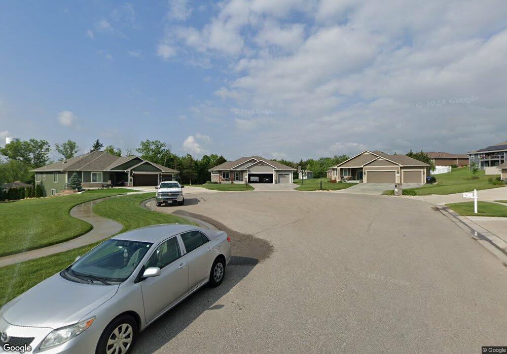
5743 SW Cedar Ct Topeka, KS 66610
Estimated Value: $457,000 - $482,000
4
Beds
3
Baths
1,682
Sq Ft
$282/Sq Ft
Est. Value
About This Home
This home is located at 5743 SW Cedar Ct, Topeka, KS 66610 and is currently estimated at $473,742, approximately $281 per square foot. 5743 SW Cedar Ct is a home located in Shawnee County with nearby schools including Jay Shideler Elementary School, Washburn Rural Middle School, and Washburn Rural High School.
Ownership History
Date
Name
Owned For
Owner Type
Purchase Details
Closed on
Sep 27, 2017
Sold by
Rollenhagen Jon
Bought by
Dultmeier Homes Co
Current Estimated Value
Home Financials for this Owner
Home Financials are based on the most recent Mortgage that was taken out on this home.
Original Mortgage
$190,000
Interest Rate
3.89%
Mortgage Type
Construction
Purchase Details
Closed on
Aug 2, 2017
Sold by
Dultmeler Homes Co
Bought by
Rapp Michael D and Rapp Micheala
Home Financials for this Owner
Home Financials are based on the most recent Mortgage that was taken out on this home.
Original Mortgage
$190,000
Interest Rate
3.89%
Mortgage Type
Construction
Create a Home Valuation Report for This Property
The Home Valuation Report is an in-depth analysis detailing your home's value as well as a comparison with similar homes in the area
Home Values in the Area
Average Home Value in this Area
Purchase History
| Date | Buyer | Sale Price | Title Company |
|---|---|---|---|
| Dultmeier Homes Co | -- | Kansas Secured Title | |
| Dultmeier Homes Co | -- | Kansas Secured Title | |
| Rapp Michael D | -- | Kansas Secured Title |
Source: Public Records
Mortgage History
| Date | Status | Borrower | Loan Amount |
|---|---|---|---|
| Previous Owner | Rapp Michael D | $190,000 |
Source: Public Records
Tax History Compared to Growth
Tax History
| Year | Tax Paid | Tax Assessment Tax Assessment Total Assessment is a certain percentage of the fair market value that is determined by local assessors to be the total taxable value of land and additions on the property. | Land | Improvement |
|---|---|---|---|---|
| 2025 | $8,277 | $52,366 | -- | -- |
| 2023 | $8,277 | $48,416 | $0 | $0 |
| 2022 | $7,013 | $43,228 | $0 | $0 |
| 2021 | $6,427 | $39,548 | $0 | $0 |
| 2020 | $6,213 | $38,532 | $0 | $0 |
| 2019 | $6,154 | $37,410 | $0 | $0 |
| 2018 | $1,816 | $9,695 | $0 | $0 |
| 2017 | $0 | $0 | $0 | $0 |
| 2014 | -- | $0 | $0 | $0 |
Source: Public Records
Map
Nearby Homes
- 5726 SW 55th St
- 0000 SW Lincolnshire Cir
- 5614 SW Fairlawn Rd
- 4612 SW Shenandoah Rd
- 5515 SW Mission Ave
- 6319 SW 46th Park
- 6326 SW 46th Park
- 6322 SW 46th Park
- 6334 SW 46th Park
- 6318 SW 46th Park
- 0000 SW 43rd Ct Unit BLK B, Lot 10
- 0000 SW Stoneylake Dr Unit Lot 2
- 0000 SW Stoneylake Dr Unit Lot 3
- 4498 SW Moundview Dr
- XXXX SW Moundview Dr
- 4218 SW Stonybrook Dr
- 6315 SW 42nd Cir
- 30A SW Postoak Dr
- 0000 SW Moundview Dr
- 6247 SW 40th Ct
- 5743 SW Cedar Ct
- 5750 SW Cedar Ct
- 5750 SW Cedar Ct
- 5739 SW Cedar Ct
- 5739 SW Cedar Ct
- 5735 SW Cedar Ct
- 5735 SW Cedar Ct Unit BLK E, Lot 19
- 5742 SW Cedar Ct
- 0 SW Cedar Ct
- 5735 SW Cedar Ct
- 5742 SW Cedar Ct
- 5738 SW Cedar Ct Unit BLK E, Lot 24
- 5726 SW 55th St Unit Lot 13, Block B
- 5738 SW Cedar Ct
- 5813 SW 55th St
- 0000 SW 55th Terrace Unit Lot 16, BLK F
- 0000 SW 55th Terrace Unit Lot 15, BLK F
- 5734 SW Cedar Ct Unit BLK E, Lot 25
- 5734 SW Cedar Ct
- 5525 SW Maupin Ln