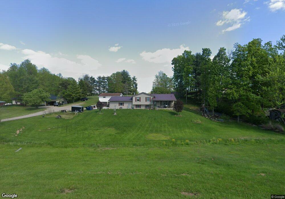
57446 Marlatt Rd Cambridge, OH 43725
Estimated Value: $242,000 - $289,000
--
Bed
--
Bath
1,320
Sq Ft
$205/Sq Ft
Est. Value
About This Home
This home is located at 57446 Marlatt Rd, Cambridge, OH 43725 and is currently estimated at $270,010, approximately $204 per square foot. 57446 Marlatt Rd is a home with nearby schools including New Concord Elementary School, East Muskingum Middle School, and Larry Miller Intermediate Elementary School.
Ownership History
Date
Name
Owned For
Owner Type
Purchase Details
Closed on
Sep 23, 2020
Sold by
Gattrell Robert W and Gattrell Teresa
Bought by
Blair Troy D and Blair Alisha R
Current Estimated Value
Home Financials for this Owner
Home Financials are based on the most recent Mortgage that was taken out on this home.
Original Mortgage
$113,950
Outstanding Balance
$101,123
Interest Rate
2.9%
Mortgage Type
New Conventional
Estimated Equity
$168,887
Create a Home Valuation Report for This Property
The Home Valuation Report is an in-depth analysis detailing your home's value as well as a comparison with similar homes in the area
Home Values in the Area
Average Home Value in this Area
Purchase History
| Date | Buyer | Sale Price | Title Company |
|---|---|---|---|
| Blair Troy D | $145,000 | Bennett Title Agency |
Source: Public Records
Mortgage History
| Date | Status | Borrower | Loan Amount |
|---|---|---|---|
| Open | Blair Troy D | $113,950 |
Source: Public Records
Tax History Compared to Growth
Tax History
| Year | Tax Paid | Tax Assessment Tax Assessment Total Assessment is a certain percentage of the fair market value that is determined by local assessors to be the total taxable value of land and additions on the property. | Land | Improvement |
|---|---|---|---|---|
| 2024 | $2,918 | $74,452 | $11,347 | $63,105 |
| 2023 | $2,918 | $57,092 | $8,918 | $48,174 |
| 2022 | $2,450 | $57,090 | $8,920 | $48,170 |
| 2021 | $2,369 | $57,090 | $8,920 | $48,170 |
| 2020 | $2,210 | $53,520 | $7,330 | $46,190 |
| 2019 | $6 | $53,520 | $7,330 | $46,190 |
| 2018 | $2,033 | $53,520 | $7,330 | $46,190 |
| 2017 | $2,049 | $46,300 | $6,370 | $39,930 |
| 2016 | $1,831 | $46,300 | $6,370 | $39,930 |
| 2015 | $1,831 | $46,300 | $6,370 | $39,930 |
| 2014 | -- | $43,140 | $4,970 | $38,170 |
| 2013 | $1,725 | $43,140 | $4,970 | $38,170 |
Source: Public Records
Map
Nearby Homes
- 3278 Rough & Ready Rd
- 54845 Huhn Ln
- 4896 High Hill Rd
- 60040 Bliss Rd
- 6820 Crane Run Rd
- 55289 Iowa Rd
- 9797 Brick Church Rd
- 0 Richards Rd Unit 5161895
- 61220 Kadon Dr
- Lot 18 & 19 Greenbriar Dr
- 1420 Glenn Hwy
- 3029 Best Rd
- 3859 Mayfair Ln
- 0 Maple Ln
- 67 E Main St
- 110 Cherry Ln
- 8 E Main St
- 0 Rix Mills Rd
- 112 Thompson Ave
- 0 Homestead Dr Unit 11611647
- 57478 Marlatt Rd
- 57410 Marlatt Rd
- 3775 Clay Pike Rd
- 3785 Clay Pike Rd
- 57483 Marlatt Rd
- 57569 Claysville Rd
- 3873 Clay Pike Rd
- 57444 Boston Way
- 57435 Boston Way
- 3700 Clay Pike Rd
- 3721 Clay Pike Rd
- 3872 Clay Pike Rd
- 57390 Boston Way
- 3913 Clay Pike Rd
- 57335 Spencer Rd
- 3900 Clay Pike Rd
- 3950 Clay Pike Rd
- 3974 Clay Pike Rd
- 3929 Clay Pike Rd
- 57726 Marlatt Rd