5745 Lange Rd Birch Run, MI 48415
Estimated Value: $208,000 - $327,000
Studio
1
Bath
1,460
Sq Ft
$178/Sq Ft
Est. Value
About This Home
This home is located at 5745 Lange Rd, Birch Run, MI 48415 and is currently estimated at $259,506, approximately $177 per square foot. 5745 Lange Rd is a home located in Saginaw County with nearby schools including North Elementary School, Marshall Greene Middle School, and Birch Run High School.
Ownership History
Date
Name
Owned For
Owner Type
Purchase Details
Closed on
Sep 28, 2020
Sold by
Wesener Patricia A and Wesener Patricia
Bought by
Wesener Patricia A and Wesener Matthew D
Current Estimated Value
Purchase Details
Closed on
Feb 9, 2010
Sold by
Wesener Patricia A and Agnes A Stephens Revocable Tru
Bought by
Wesener Patricia A
Purchase Details
Closed on
Jun 26, 2009
Sold by
Agnes A Stephens Revocable Trust
Bought by
Wesener Patricia A
Home Financials for this Owner
Home Financials are based on the most recent Mortgage that was taken out on this home.
Original Mortgage
$100,000
Interest Rate
5.62%
Mortgage Type
Balloon
Purchase Details
Closed on
Aug 7, 2006
Sold by
Nalewyko Joanne
Bought by
Stephens Agnes and Wesener Patricia
Purchase Details
Closed on
Aug 11, 1998
Sold by
Winterstein Bernard M and Winterstein Marilyn M
Bought by
Nalewyko Ronald L and Nalewyko Joanne
Create a Home Valuation Report for This Property
The Home Valuation Report is an in-depth analysis detailing your home's value as well as a comparison with similar homes in the area
Purchase History
| Date | Buyer | Sale Price | Title Company |
|---|---|---|---|
| Wesener Patricia A | -- | None Available | |
| Wesener Patricia A | -- | -- | |
| Wesener Patricia A | -- | -- | |
| Wesener Patricia A | -- | -- | |
| Agnes A Stephens Revocable Trust | -- | -- | |
| Stephens Agnes | $144,000 | -- | |
| Nalewyko Ronald L | $16,000 | -- |
Source: Public Records
Mortgage History
| Date | Status | Borrower | Loan Amount |
|---|---|---|---|
| Previous Owner | Wesener Patricia A | $100,000 |
Source: Public Records
Tax History
| Year | Tax Paid | Tax Assessment Tax Assessment Total Assessment is a certain percentage of the fair market value that is determined by local assessors to be the total taxable value of land and additions on the property. | Land | Improvement |
|---|---|---|---|---|
| 2025 | $858 | $91,600 | $0 | $0 |
| 2024 | $832 | $79,900 | $0 | $0 |
| 2023 | $793 | $76,900 | $0 | $0 |
| 2022 | $2,136 | $68,900 | $0 | $0 |
| 2021 | $1,990 | $69,500 | $0 | $0 |
| 2020 | $1,945 | $68,000 | $0 | $0 |
| 2019 | $1,852 | $68,300 | $0 | $0 |
| 2018 | $714 | $67,200 | $0 | $0 |
| 2017 | $1,647 | $67,300 | $0 | $0 |
| 2016 | $1,632 | $64,800 | $0 | $0 |
| 2014 | -- | $63,800 | $0 | $50,300 |
| 2013 | -- | $63,800 | $0 | $0 |
Source: Public Records
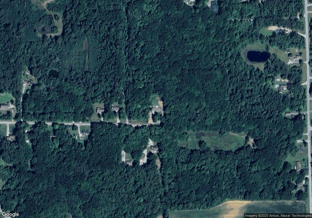
Map
Nearby Homes
- 7720 Rookway Rd
- 0 Judd Rd
- 9750 Marshall Rd
- 6450 Curtis Rd
- 6977 Rathbun Rd
- 5383 Riverview Dr
- VL Marshall Rd
- 3937 Curtis Rd
- Parcel E W Rolling Hills Dr
- Parcel B W Rolling Hills Dr
- Parcel D W Rolling Hills Dr
- Parcel F W Rolling Hills Dr
- Parcel C W Rolling Hills Dr
- VL Busch (Parcel B) Rd
- VL Busch (Parcel A) Rd
- 3241 Curtis Rd
- VL Fort Rd
- 4333 Riverview Dr
- 6665 Bell Rd
- 2921 Curtis Rd
Your Personal Tour Guide
Ask me questions while you tour the home.