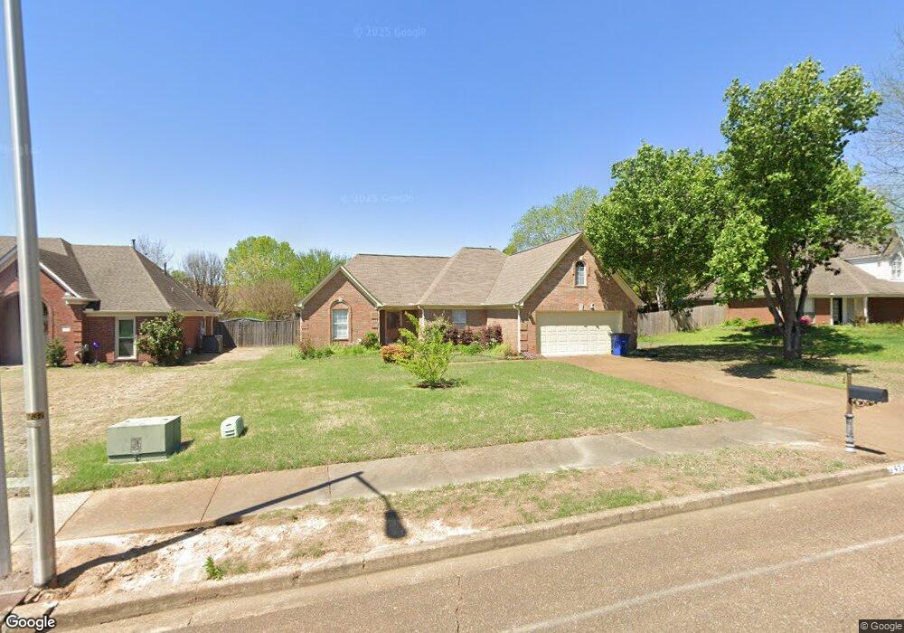
5745 Michaelson Dr Olive Branch, MS 38654
Estimated Value: $269,000 - $285,000
3
Beds
2
Baths
1,750
Sq Ft
$157/Sq Ft
Est. Value
About This Home
This home is located at 5745 Michaelson Dr, Olive Branch, MS 38654 and is currently estimated at $275,454, approximately $157 per square foot. 5745 Michaelson Dr is a home located in DeSoto County with nearby schools including Chickasaw Elementary School, Olive Branch Middle School, and Olive Branch High School.
Ownership History
Date
Name
Owned For
Owner Type
Purchase Details
Closed on
Dec 30, 2009
Sold by
Roe Marguerite
Bought by
Latham Almedia Carol
Current Estimated Value
Home Financials for this Owner
Home Financials are based on the most recent Mortgage that was taken out on this home.
Original Mortgage
$116,650
Outstanding Balance
$82,763
Interest Rate
4.82%
Mortgage Type
Purchase Money Mortgage
Estimated Equity
$192,691
Create a Home Valuation Report for This Property
The Home Valuation Report is an in-depth analysis detailing your home's value as well as a comparison with similar homes in the area
Home Values in the Area
Average Home Value in this Area
Purchase History
| Date | Buyer | Sale Price | Title Company |
|---|---|---|---|
| Latham Almedia Carol | -- | None Available |
Source: Public Records
Mortgage History
| Date | Status | Borrower | Loan Amount |
|---|---|---|---|
| Open | Latham Almedia Carol | $116,650 |
Source: Public Records
Tax History Compared to Growth
Tax History
| Year | Tax Paid | Tax Assessment Tax Assessment Total Assessment is a certain percentage of the fair market value that is determined by local assessors to be the total taxable value of land and additions on the property. | Land | Improvement |
|---|---|---|---|---|
| 2024 | $697 | $12,608 | $2,500 | $10,108 |
| 2023 | $697 | $12,608 | $0 | $0 |
| 2022 | $697 | $12,608 | $2,500 | $10,108 |
| 2021 | $697 | $12,608 | $2,500 | $10,108 |
| 2020 | $697 | $12,608 | $2,500 | $10,108 |
| 2019 | $697 | $12,608 | $2,500 | $10,108 |
| 2017 | $654 | $22,036 | $12,268 | $9,768 |
| 2016 | $729 | $12,811 | $2,500 | $10,311 |
| 2015 | $1,758 | $23,122 | $12,811 | $10,311 |
| 2014 | $729 | $12,811 | $0 | $0 |
| 2013 | $707 | $12,811 | $0 | $0 |
Source: Public Records
Map
Nearby Homes
- 5619 Eagleston Dr
- 5806 Southbend Ln
- 2914 Cypress Lake Dr S
- 5841 Blocker St
- 6032 Robby Cove
- 9598 Nielsen Dr
- 9821 Morgan Manor Dr
- 5195 Mary Ln N
- 9930 Sequoia Ln
- 5295 Blocker St
- 7550 Old Highway 78
- 9893 Cherokee Dr
- 0 Hacks Rd Unit 4132565
- 8754 Ln
- 9811 Cherokee Dr
- 9653 Trenton Trail
- 9800 Cherokee Dr
- 6180 Rd
- 9113 Rue Orleans Ln
- 5427 Highway 305 N
- 5731 Michaelson Dr
- 5759 Michaelson Dr
- 5717 Michaelson Dr
- 5732 Eagleston Dr
- 5760 Eagleston Dr
- 5740 Michaelson Dr
- 5726 Michaelson Dr
- 4 Michaelson Dr
- 5754 Michaelson Dr
- 5703 Michaelson Dr
- 5712 Michaelson Dr
- 5768 Michaelson Dr
- 5704 Eagleston Dr
- 5787 Michaelson Dr
- 5698 Michaelson Dr
- 5788 Eagleston Dr
- 5689 Michaelson Dr
- 5782 Michaelson Dr
- 5741 Morganton Dr