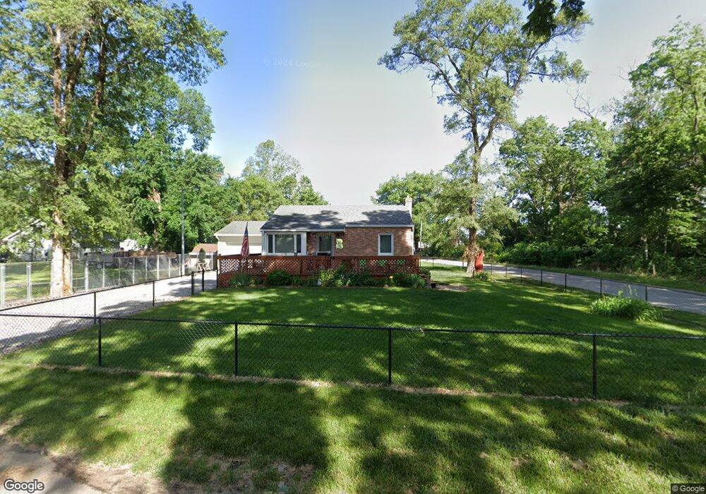
5746 SE Elm Dr Carlisle, IA 50047
Avon Lake NeighborhoodEstimated Value: $149,000 - $168,000
--
Bed
1
Bath
704
Sq Ft
$222/Sq Ft
Est. Value
About This Home
This home is located at 5746 SE Elm Dr, Carlisle, IA 50047 and is currently estimated at $156,373, approximately $222 per square foot. 5746 SE Elm Dr is a home located in Polk County with nearby schools including Carlisle Elementary School, Hartford Upper Elementary School, and Carlisle Middle School.
Ownership History
Date
Name
Owned For
Owner Type
Purchase Details
Closed on
Feb 20, 2019
Sold by
Kulla David L and Kulla Michelle A
Bought by
Kulla David L and Kulla Michelle A
Current Estimated Value
Purchase Details
Closed on
Nov 14, 1998
Sold by
Tilton Timothy A
Bought by
Kulla David L
Home Financials for this Owner
Home Financials are based on the most recent Mortgage that was taken out on this home.
Original Mortgage
$66,500
Outstanding Balance
$14,515
Interest Rate
6.59%
Estimated Equity
$141,858
Create a Home Valuation Report for This Property
The Home Valuation Report is an in-depth analysis detailing your home's value as well as a comparison with similar homes in the area
Home Values in the Area
Average Home Value in this Area
Purchase History
| Date | Buyer | Sale Price | Title Company |
|---|---|---|---|
| Kulla David L | -- | None Available | |
| Kulla David L | $66,000 | -- |
Source: Public Records
Mortgage History
| Date | Status | Borrower | Loan Amount |
|---|---|---|---|
| Open | Kulla David L | $66,500 |
Source: Public Records
Tax History Compared to Growth
Tax History
| Year | Tax Paid | Tax Assessment Tax Assessment Total Assessment is a certain percentage of the fair market value that is determined by local assessors to be the total taxable value of land and additions on the property. | Land | Improvement |
|---|---|---|---|---|
| 2024 | $1,932 | $129,400 | $15,400 | $114,000 |
| 2023 | $1,738 | $129,400 | $15,400 | $114,000 |
| 2022 | $1,704 | $99,100 | $12,300 | $86,800 |
| 2021 | $1,798 | $99,100 | $12,300 | $86,800 |
| 2020 | $1,766 | $100,000 | $12,300 | $87,700 |
| 2019 | $1,674 | $100,000 | $12,300 | $87,700 |
| 2018 | $1,636 | $91,700 | $11,100 | $80,600 |
| 2017 | $1,638 | $91,700 | $11,100 | $80,600 |
| 2016 | $1,602 | $89,300 | $10,500 | $78,800 |
| 2015 | $1,602 | $89,300 | $10,500 | $78,800 |
| 2014 | $1,546 | $89,600 | $10,400 | $79,200 |
Source: Public Records
Map
Nearby Homes
- 5756 SE 66th Place
- 325 Pennsylvania St
- 535 N 4th St
- 2820 Gateway Dr
- 340 Crescent Dr
- 50 Park St
- 80 Pennsylvania St
- 1115 Pleasant St
- 4695 E Spring St
- 20937 5th St
- 000 5th St
- 220 N 1st St
- 1588 Highway 5
- 390 Commons Dr
- 415 Commons Dr
- 1000 Commons Ct
- 415 Jefferson St
- 450 Commons Dr
- 205 Jefferson St
- 490 Commons Dr
- 5730 SE Circle Dr
- 5726 SE Robbie Rd
- 5753 SE Elm Dr
- 5725 SE Circle Dr
- 5715 SE Circle Dr
- 5732 SE Robbie Rd
- 5718 SE Robbie Rd
- 5740 SE Robbie Rd
- 5705 SE Circle Dr
- 5711 SE Robbie Rd
- 5706 SE Circle Dr
- 5739 SE Robbie Rd
- 5771 SE Circle Dr
- 6547 SE 57th St
- 6461 SE 57th St
- 5689 SE Robbie Rd
- 5748 SE Robbie Rd
- 5890 SE Circle Dr
- 5706 SE 66th Place
- 5790 SE Circle Dr