5747 Barfield Cir Unit 24 Memphis, TN 38120
Audubon Park NeighborhoodEstimated Value: $188,446 - $304,000
3
Beds
3
Baths
2,056
Sq Ft
$111/Sq Ft
Est. Value
About This Home
This home is located at 5747 Barfield Cir Unit 24, Memphis, TN 38120 and is currently estimated at $228,362, approximately $111 per square foot. 5747 Barfield Cir Unit 24 is a home located in Shelby County with nearby schools including Richland Elementary School, White Station Middle, and White Station High.
Ownership History
Date
Name
Owned For
Owner Type
Purchase Details
Closed on
Oct 15, 1999
Sold by
Hayles Robert D and Hayles Deidre J
Bought by
Johnston Hurshel G
Current Estimated Value
Home Financials for this Owner
Home Financials are based on the most recent Mortgage that was taken out on this home.
Original Mortgage
$106,250
Interest Rate
7.76%
Mortgage Type
Purchase Money Mortgage
Create a Home Valuation Report for This Property
The Home Valuation Report is an in-depth analysis detailing your home's value as well as a comparison with similar homes in the area
Home Values in the Area
Average Home Value in this Area
Purchase History
| Date | Buyer | Sale Price | Title Company |
|---|---|---|---|
| Johnston Hurshel G | $125,000 | -- |
Source: Public Records
Mortgage History
| Date | Status | Borrower | Loan Amount |
|---|---|---|---|
| Closed | Johnston Hurshel G | $106,250 |
Source: Public Records
Tax History Compared to Growth
Tax History
| Year | Tax Paid | Tax Assessment Tax Assessment Total Assessment is a certain percentage of the fair market value that is determined by local assessors to be the total taxable value of land and additions on the property. | Land | Improvement |
|---|---|---|---|---|
| 2025 | $1,053 | $48,675 | $4,500 | $44,175 |
| 2024 | $1,053 | $31,075 | $4,500 | $26,575 |
| 2023 | $1,893 | $31,075 | $4,500 | $26,575 |
| 2022 | $1,893 | $31,075 | $4,500 | $26,575 |
| 2021 | $1,915 | $31,075 | $4,500 | $26,575 |
| 2020 | $1,895 | $26,150 | $4,500 | $21,650 |
| 2019 | $1,895 | $26,150 | $4,500 | $21,650 |
| 2018 | $1,895 | $26,150 | $4,500 | $21,650 |
| 2017 | $1,075 | $26,150 | $4,500 | $21,650 |
| 2016 | $1,311 | $30,000 | $0 | $0 |
| 2014 | $1,311 | $30,000 | $0 | $0 |
Source: Public Records
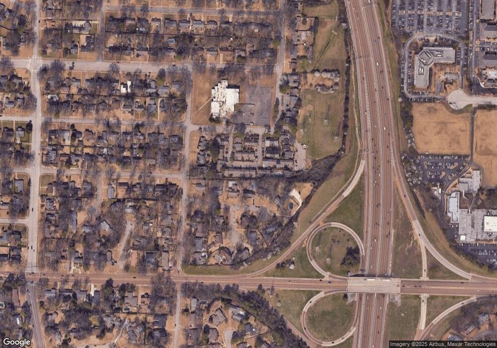
Map
Nearby Homes
- 5681 Normandy Rd
- 5690 Walnut Grove Rd
- 5676 Walnut Grove Place
- 5649 Normandy Rd
- 19 E Yates Rd S
- 50 Grove Dale St
- 5737 Buxbriar Ave
- 5702 Buxbriar Ave
- 5680 N Angela Rd
- 5704 Ashbriar Ave
- 5575 Walnut Grove Rd
- 5532 Gwynne Rd
- 5504 Normandy Rd
- 5909 Brierhedge Ave
- 5881 Brierglen Ave
- 233 Lynnfield St
- 5429 Normandy Rd
- 5429 Walnut Grove Rd
- 5901 Brierdale Ave
- 5516 Sycamore Grove Ln
- 5743 Barfield Cir Unit 23
- 5751 Barfield Cir Unit 25
- 5753 Barfield Cir Unit 26
- 5753 Barfield Cir
- 5753 Barfield Cir Unit 5753
- 5736 Barfield Cir Unit 15
- 5742 Barfield Cir Unit 19
- 5744 Barfield Cir Unit 20
- 5738 Barfield Cir
- 5731 Barfield Cir Unit 12
- 5739 Barfield Cir Unit 21
- 5742 Woodbriar Cove
- 5755 Barfield Cir
- 5736 Woodbriar Cove
- 5759 Barfield Cir Unit 32
- 5735 Barfield Cir Unit 13
- 5745 Barfield Cir
- 5729 Barfield Cir Unit 11
- 5761 Barfield Cir
- 5760 Barfield Cir Unit 30