57485 State Highway 23 Sandstone, MN 55072
Estimated Value: $412,532 - $443,000
3
Beds
3
Baths
2,066
Sq Ft
$210/Sq Ft
Est. Value
About This Home
This home is located at 57485 State Highway 23, Sandstone, MN 55072 and is currently estimated at $433,633, approximately $209 per square foot. 57485 State Highway 23 is a home located in Pine County with nearby schools including East Central Elementary School, East Central Senior Secondary School, and Harvest Christian School.
Ownership History
Date
Name
Owned For
Owner Type
Purchase Details
Closed on
Jul 17, 2020
Sold by
Drilling Gary Lee and Drilling Jill Corine
Bought by
Bennett Brian S and Bennett Megan M
Current Estimated Value
Home Financials for this Owner
Home Financials are based on the most recent Mortgage that was taken out on this home.
Original Mortgage
$230,000
Outstanding Balance
$204,327
Interest Rate
3.2%
Mortgage Type
New Conventional
Estimated Equity
$229,306
Create a Home Valuation Report for This Property
The Home Valuation Report is an in-depth analysis detailing your home's value as well as a comparison with similar homes in the area
Home Values in the Area
Average Home Value in this Area
Purchase History
| Date | Buyer | Sale Price | Title Company |
|---|---|---|---|
| Bennett Brian S | $287,500 | None Available |
Source: Public Records
Mortgage History
| Date | Status | Borrower | Loan Amount |
|---|---|---|---|
| Open | Bennett Brian S | $230,000 |
Source: Public Records
Tax History Compared to Growth
Tax History
| Year | Tax Paid | Tax Assessment Tax Assessment Total Assessment is a certain percentage of the fair market value that is determined by local assessors to be the total taxable value of land and additions on the property. | Land | Improvement |
|---|---|---|---|---|
| 2025 | $3,858 | $363,100 | $57,100 | $306,000 |
| 2024 | $4,168 | $400,400 | $51,100 | $349,300 |
| 2023 | $4,090 | $413,500 | $47,000 | $366,500 |
| 2022 | $3,634 | $357,900 | $40,600 | $317,300 |
| 2021 | $3,470 | $297,600 | $35,300 | $262,300 |
| 2020 | $3,428 | $272,800 | $31,200 | $241,600 |
| 2019 | $3,282 | $274,800 | $28,700 | $246,100 |
| 2018 | $3,290 | $252,200 | $29,000 | $223,200 |
| 2017 | $3,460 | $319,100 | $104,100 | $215,000 |
| 2016 | $3,154 | $301,700 | $99,000 | $202,700 |
| 2014 | $3,230 | $285,000 | $102,037 | $182,963 |
Source: Public Records
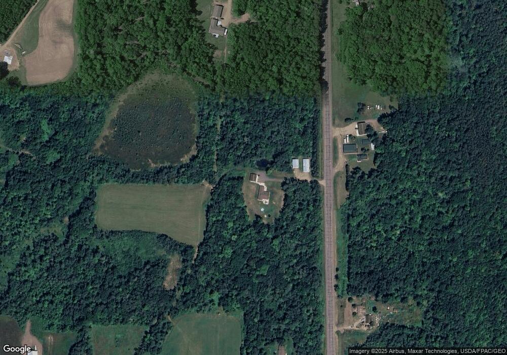
Map
Nearby Homes
- TBD Mallard Place
- 106 Lark St
- 58950 State Highway 23
- L1/B26 Court Ave
- L2/B26 Court Ave
- L3/B26 Court Ave
- L4/B26 Court Ave
- 402 Grouse St
- 000 Minnesota 23
- 410 Court Ave N
- 205 Commercial Ave N
- 57082 Minnesota 23
- 301 1st St
- 317 1st St
- 214 Division St
- 410 Washington St
- 25561 Groningen Rd
- 205 Court Ave S
- 234 Minnesota St
- tbd Minnesota St
- 57522 State Highway 23
- 57141 State Highway 23
- 57914 State Highway 23
- 400 Robin St
- XXX Birch Ave
- 26657 Johnson Dr
- ABC Birch
- 26500 Johnson Dr
- 58184 State Highway 23
- 1609 Highway 23 N
- 58338 State Highway 23
- 1601 Highway 23 N
- 58411 State Highway 23
- 1080 Robin St
- 58414 State Highway 23
- 1518 Birch Ave
- 1414 Highway 23 N
- 1409 Highway 23 N
- 1409 Highway 23 N
- 0 Birch Ave