575 Daniels Rd Pike, NH 03780
Estimated Value: $229,000 - $355,000
2
Beds
1
Bath
1,271
Sq Ft
$245/Sq Ft
Est. Value
About This Home
This home is located at 575 Daniels Rd, Pike, NH 03780 and is currently estimated at $311,035, approximately $244 per square foot. 575 Daniels Rd is a home with nearby schools including Woodsville Elementary School, Haverhill Cooperative Middle School, and Woodsville High School.
Ownership History
Date
Name
Owned For
Owner Type
Purchase Details
Closed on
Jun 24, 2016
Sold by
Knapp Sanfra H
Bought by
Knapp Sandra
Current Estimated Value
Purchase Details
Closed on
Dec 22, 2014
Sold by
Knapp 2Nd Sandra
Bought by
Knapp Sandra H
Purchase Details
Closed on
Apr 2, 2003
Sold by
Est Fuller Elmore T
Bought by
Knapp Sandra H
Home Financials for this Owner
Home Financials are based on the most recent Mortgage that was taken out on this home.
Original Mortgage
$67,500
Interest Rate
5.88%
Create a Home Valuation Report for This Property
The Home Valuation Report is an in-depth analysis detailing your home's value as well as a comparison with similar homes in the area
Home Values in the Area
Average Home Value in this Area
Purchase History
| Date | Buyer | Sale Price | Title Company |
|---|---|---|---|
| Knapp Sandra | $50,000 | -- | |
| Knapp Sandra H | -- | -- | |
| Knapp Sandra H | $75,000 | -- |
Source: Public Records
Mortgage History
| Date | Status | Borrower | Loan Amount |
|---|---|---|---|
| Previous Owner | Knapp Sandra H | $88,000 | |
| Previous Owner | Knapp Sandra H | $67,500 |
Source: Public Records
Tax History Compared to Growth
Tax History
| Year | Tax Paid | Tax Assessment Tax Assessment Total Assessment is a certain percentage of the fair market value that is determined by local assessors to be the total taxable value of land and additions on the property. | Land | Improvement |
|---|---|---|---|---|
| 2024 | $5,132 | $264,000 | $57,700 | $206,300 |
| 2023 | $4,355 | $150,600 | $34,300 | $116,300 |
| 2021 | $3,748 | $150,600 | $34,300 | $116,300 |
| 2020 | $3,438 | $121,000 | $30,300 | $90,700 |
| 2019 | $3,666 | $121,000 | $30,300 | $90,700 |
| 2018 | $3,787 | $121,000 | $30,300 | $90,700 |
| 2017 | $3,756 | $121,000 | $30,300 | $90,700 |
| 2016 | $3,601 | $121,000 | $30,300 | $90,700 |
| 2015 | $3,557 | $120,700 | $28,300 | $92,400 |
| 2014 | $3,318 | $120,700 | $28,300 | $92,400 |
| 2013 | $3,165 | $120,600 | $28,300 | $92,300 |
Source: Public Records
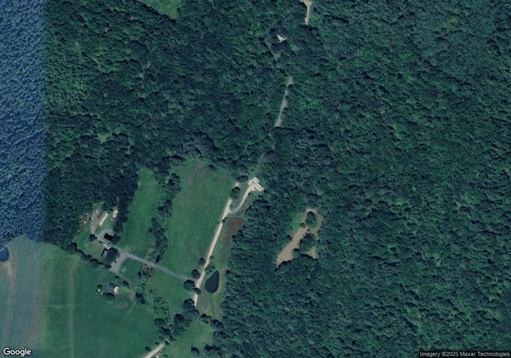
Map
Nearby Homes
- 823 Country Land Dr
- 620 Country Land Dr
- 00 Brushwood Rd
- 00 Brushwood Rd Unit 104
- 00 Brushwood Rd
- Lot 123 Paulsen Cir
- 00 Court St
- 1354 Brushwood Rd
- 00 Jeffers Hill Rd Unit 13
- 400 Lily Pond Rd
- 510 Lily Pond Rd
- 538 Lily Pond Rd
- 52 School St
- 235 Dartmouth College Hwy
- 194 Dartmouth College Hwy
- 1842 County Rd
- 6680 Route 5 S
- 19 Lime Kiln Rd
- 68 Doe Ln
- 148 Brushwood Rd
- 500 Daniels Rd
- 698 Daniels Rd
- 701 Daniels Rd
- 890 Country Land Dr
- 780 Country Land Dr
- 618 Country Land Dr
- 700 Country Land Dr
- 720 Country Land Dr
- 689 Country Land Dr
- 751 Country Land Dr
- 610 Country Land Dr
- 767 Country Land Dr
- 721 Country Land Dr Unit 33
- 645 Country Land Dr
- 366 Daniels Rd
- 847 Daniels Rd
- 601 Country Land Dr
- 827 Daniels Rd
- 729 Country Land Dr
- 901 Mount Moosilauke Hwy