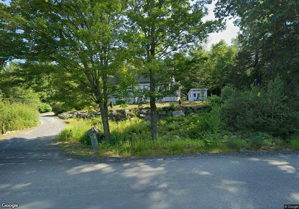
575 Northfield Rd Warwick, MA 01378
Warwick NeighborhoodEstimated Value: $332,587 - $548,000
4
Beds
2
Baths
1,320
Sq Ft
$309/Sq Ft
Est. Value
About This Home
This home is located at 575 Northfield Rd, Warwick, MA 01378 and is currently estimated at $408,147, approximately $309 per square foot. 575 Northfield Rd is a home located in Franklin County with nearby schools including Pioneer Valley Regional.
Ownership History
Date
Name
Owned For
Owner Type
Purchase Details
Closed on
Aug 13, 2024
Sold by
Alvarado Luz I and Torres Miguel A
Bought by
Alvarado Luz I
Current Estimated Value
Home Financials for this Owner
Home Financials are based on the most recent Mortgage that was taken out on this home.
Original Mortgage
$264,550
Outstanding Balance
$260,141
Interest Rate
6.62%
Mortgage Type
FHA
Estimated Equity
$148,006
Purchase Details
Closed on
Aug 26, 2004
Sold by
Stumpo Frank R and Stumpo Christine G
Bought by
Alvarado Luz I and Torres Miguel A
Home Financials for this Owner
Home Financials are based on the most recent Mortgage that was taken out on this home.
Original Mortgage
$172,000
Interest Rate
6.02%
Mortgage Type
Purchase Money Mortgage
Create a Home Valuation Report for This Property
The Home Valuation Report is an in-depth analysis detailing your home's value as well as a comparison with similar homes in the area
Home Values in the Area
Average Home Value in this Area
Purchase History
| Date | Buyer | Sale Price | Title Company |
|---|---|---|---|
| Alvarado Luz I | -- | None Available | |
| Alvarado Luz I | -- | None Available | |
| Alvarado Luz I | $172,000 | -- | |
| Alvarado Luz I | $172,000 | -- |
Source: Public Records
Mortgage History
| Date | Status | Borrower | Loan Amount |
|---|---|---|---|
| Open | Alvarado Luz I | $264,550 | |
| Closed | Alvarado Luz I | $264,550 | |
| Previous Owner | Alvarado Luz I | $152,000 | |
| Previous Owner | Alvarado Luz I | $172,000 |
Source: Public Records
Tax History
| Year | Tax Paid | Tax Assessment Tax Assessment Total Assessment is a certain percentage of the fair market value that is determined by local assessors to be the total taxable value of land and additions on the property. | Land | Improvement |
|---|---|---|---|---|
| 2025 | $4,136 | $232,636 | $33,036 | $199,600 |
| 2024 | $3,918 | $236,746 | $34,246 | $202,500 |
| 2023 | $3,460 | $172,051 | $34,851 | $137,200 |
| 2022 | $3,540 | $168,000 | $35,500 | $132,500 |
| 2021 | $3,001 | $152,900 | $31,500 | $121,400 |
| 2020 | $3,161 | $155,200 | $31,700 | $123,500 |
| 2019 | $3,199 | $150,600 | $29,900 | $120,700 |
| 2018 | $3,259 | $150,600 | $29,900 | $120,700 |
| 2017 | $3,008 | $149,600 | $28,900 | $120,700 |
| 2016 | $3,062 | $149,600 | $28,900 | $120,700 |
| 2015 | $3,175 | $159,400 | $34,000 | $125,400 |
Source: Public Records
Map
Nearby Homes
- 0 Sears St Unit 23759828
- Lot 14 Northfield Rd
- 0, Lot 2 Flower Hill Rd
- 0, Lot 1 Flower Hill Rd
- 0 Northfield Rd Unit 73441997
- 14 Wood Way
- 22 Old Turnpike Rd
- 583 Burt Hill Rd
- 181 Main St
- 12A Parker Ave Unit A
- 12 Wetherby Dr
- 9 Scotland Rd
- 719 Mount Hermon Station Rd
- 292 Richmond Rd
- 525 Richmond Rd
- 71 Parker St
- 259 Bolton Rd
- 10 Swan St
- 258 Bolton Rd
- 94 Main St
- 555 Northfield Rd
- 0 Sears St
- Lot 10 Northfield Rd
- 31 Bass Rd
- 31 Bass Rd
- 44 Leland Hill Rd
- 142 Flower Hill Rd
- 160 Flower Hill Rd
- 44 Flower Hill Rd
- 174 Flower Hill Rd
- 427 Northfield Rd
- 25 Soderman Rd
- 0 Flower Hill Rd
- 1 Flower Hill Rd
- 647 Northfield Rd
- 209 Flower Hill Rd
- 212 Flower Hill Rd
- 733 Northfield Rd
- 247 Flower Hill Rd
- 293 Flower Hill Rd
Your Personal Tour Guide
Ask me questions while you tour the home.