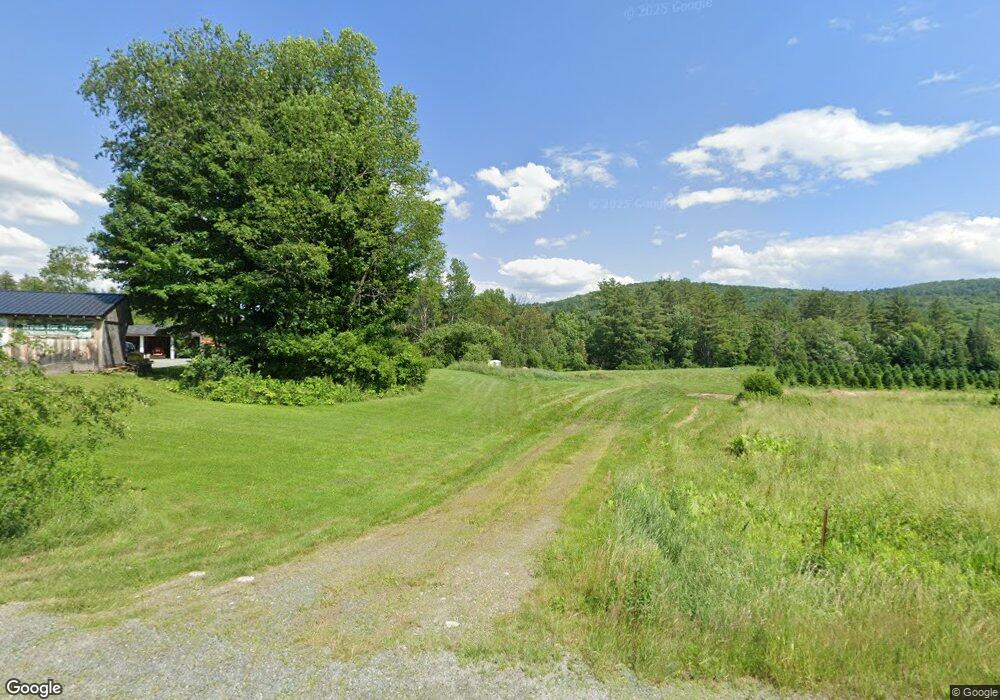
575 Profile Rd Bethlehem, NH 03574
Estimated Value: $434,000 - $586,000
3
Beds
2
Baths
2,174
Sq Ft
$234/Sq Ft
Est. Value
About This Home
This home is located at 575 Profile Rd, Bethlehem, NH 03574 and is currently estimated at $507,665, approximately $233 per square foot. 575 Profile Rd is a home located in Grafton County with nearby schools including Bethlehem Elementary School, Profile Junior High School, and Profile Senior High School.
Ownership History
Date
Name
Owned For
Owner Type
Purchase Details
Closed on
Aug 13, 2013
Sold by
Martin Hill Lt
Bought by
Manley Nigel and Ratzel Judith M
Current Estimated Value
Create a Home Valuation Report for This Property
The Home Valuation Report is an in-depth analysis detailing your home's value as well as a comparison with similar homes in the area
Home Values in the Area
Average Home Value in this Area
Purchase History
| Date | Buyer | Sale Price | Title Company |
|---|---|---|---|
| Manley Nigel | $175,000 | -- | |
| Manley Nigel | $175,000 | -- |
Source: Public Records
Mortgage History
| Date | Status | Borrower | Loan Amount |
|---|---|---|---|
| Previous Owner | Manley Nigel | $125,000 | |
| Closed | Manley Nigel | $0 |
Source: Public Records
Tax History
| Year | Tax Paid | Tax Assessment Tax Assessment Total Assessment is a certain percentage of the fair market value that is determined by local assessors to be the total taxable value of land and additions on the property. | Land | Improvement |
|---|---|---|---|---|
| 2024 | $6,280 | $365,517 | $48,217 | $317,300 |
| 2023 | $5,643 | $365,740 | $48,440 | $317,300 |
| 2022 | $4,487 | $187,805 | $22,905 | $164,900 |
| 2021 | $4,009 | $161,708 | $23,108 | $138,600 |
| 2020 | $4,078 | $161,820 | $23,220 | $138,600 |
| 2019 | $10,096 | $162,011 | $23,411 | $138,600 |
| 2018 | $4,170 | $151,088 | $23,288 | $127,800 |
| 2017 | $3,959 | $128,888 | $26,688 | $102,200 |
| 2016 | $3,539 | $128,885 | $26,685 | $102,200 |
| 2015 | $3,818 | $128,885 | $26,685 | $102,200 |
| 2013 | $3,771 | $132,080 | $29,880 | $102,200 |
Source: Public Records
Map
Nearby Homes
- 637 Wallace Hill Rd
- 14 Summit Dr
- 102 Skyline Dr
- 251 Bethlehem Rd
- 206 Lewis Hill Rd
- 166 Bethlehem Rd
- 165 Bethlehem Rd
- 105 Alpenhof Rd
- 188 Cottage St
- 191 Washington St
- 1 Agassiz St
- 92-29 Birchcroft Dr
- 00 New Hampshire 117 Unit 2
- 5 Corey Mhh
- 324 Crane Hill Rd
- 28 Jodo Way
- 34 Union St
- 42 Maple St
- 28 Academy St Unit 7
- 93 Pleasant St
- 691 Profile Rd
- 766 Profile Rd
- 835 Profile Rd
- 845 Profile Rd
- 851 Profile Rd
- 887 Profile Rd
- 914 Profile Rd
- 897 Profile Rd
- 402 Profile Rd
- 184 Northwood Ln
- 290 W Farm Rd
- 872 South Rd
- 888 South Rd
- 181 Northwood Ln
- lot 9.12 South Rd
- 903 South Rd
- 1157 Old Franconia Rd
- 177 Northwood Ln
- 963 South Rd
- 1015 Profile Rd
Your Personal Tour Guide
Ask me questions while you tour the home.