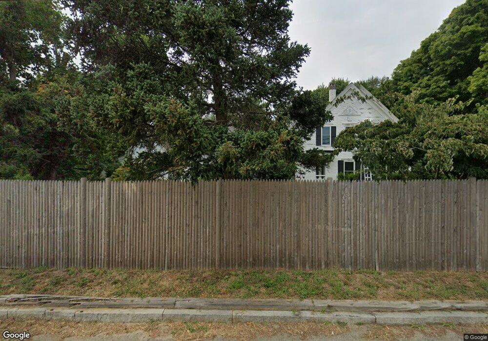
575 State Hwy Rte 6 Wellfleet, MA 02667
Estimated Value: $566,000 - $723,524
3
Beds
1
Bath
800
Sq Ft
$811/Sq Ft
Est. Value
About This Home
This home is located at 575 State Hwy Rte 6, Wellfleet, MA 02667 and is currently estimated at $648,841, approximately $811 per square foot. 575 State Hwy Rte 6 is a home located in Barnstable County with nearby schools including Wellfleet Elementary School, Nauset Regional Middle School, and Nauset Regional High School.
Ownership History
Date
Name
Owned For
Owner Type
Purchase Details
Closed on
Jan 22, 2025
Sold by
White George J
Bought by
George J White Jr Lt and White
Current Estimated Value
Purchase Details
Closed on
Sep 13, 2023
Sold by
White George J and White Marisa A
Bought by
White George J
Purchase Details
Closed on
Apr 29, 2016
Sold by
White George J and White Ann E
Bought by
White George J and White Marisa A
Home Financials for this Owner
Home Financials are based on the most recent Mortgage that was taken out on this home.
Original Mortgage
$132,000
Interest Rate
2.99%
Mortgage Type
New Conventional
Purchase Details
Closed on
Aug 14, 2001
Sold by
Hrebin Beverly M
Bought by
White George J
Home Financials for this Owner
Home Financials are based on the most recent Mortgage that was taken out on this home.
Original Mortgage
$148,100
Interest Rate
7.1%
Mortgage Type
Purchase Money Mortgage
Create a Home Valuation Report for This Property
The Home Valuation Report is an in-depth analysis detailing your home's value as well as a comparison with similar homes in the area
Home Values in the Area
Average Home Value in this Area
Purchase History
| Date | Buyer | Sale Price | Title Company |
|---|---|---|---|
| George J White Jr Lt | -- | None Available | |
| White George J | -- | None Available | |
| White George J | -- | -- | |
| White George J | $200,000 | -- | |
| White George J | $200,000 | -- |
Source: Public Records
Mortgage History
| Date | Status | Borrower | Loan Amount |
|---|---|---|---|
| Previous Owner | White George J | $132,000 | |
| Previous Owner | White George J | $148,100 |
Source: Public Records
Tax History Compared to Growth
Tax History
| Year | Tax Paid | Tax Assessment Tax Assessment Total Assessment is a certain percentage of the fair market value that is determined by local assessors to be the total taxable value of land and additions on the property. | Land | Improvement |
|---|---|---|---|---|
| 2025 | $3,760 | $528,900 | $209,900 | $319,000 |
| 2024 | $3,510 | $513,900 | $199,900 | $314,000 |
| 2023 | $3,147 | $452,200 | $169,400 | $282,800 |
| 2022 | $2,776 | $356,800 | $148,600 | $208,200 |
| 2021 | $2,475 | $314,900 | $132,700 | $182,200 |
| 2020 | $2,440 | $314,800 | $139,700 | $175,100 |
| 2019 | $2,390 | $309,200 | $139,700 | $169,500 |
| 2018 | $2,212 | $308,100 | $139,700 | $168,400 |
| 2017 | $2,081 | $306,900 | $139,700 | $167,200 |
| 2016 | $2,175 | $318,400 | $127,700 | $190,700 |
| 2015 | $2,129 | $314,000 | $0 | $0 |
Source: Public Records
Map
Nearby Homes
- 90 Blue Heron Rd
- 90 Ring Rd
- 40 Leilla Rich Dr
- 55 Harvard St
- 95 Barker St
- 210 West Rd Unit B9
- 210 West Rd Unit M-16
- 176 Village Ln
- 11 Whelpley Rd
- 140 Harvest Rd
- 25 1st Ave
- 100 Gigi Ln
- 60 Long Ave Unit E
- 675 N Sunken Meadow Rd
- 5470 State Hwy
- 190 Meadow Ave W
- 245 Paine Hollow Rd
- 125 Wamsutta Rd
- 41-43 9th St
- 1460 Massasoit Rd
- 575 U S 6
- 80 Castagna Dr
- 587 State Hwy Rte 6
- 587 State Hwy Route 6
- 587 State Highway Route 6
- 25 Castagna Dr
- 587 U S 6
- 60 Castagna Dr
- 15 Jason's Path
- 15 Jason Path
- 603 State Hwy Rte 6
- 0 Sarett Ln Unit 1-4 9901103
- 0 Sarett Ln Unit 1-4 9901004
- 0 Sarett Ln Unit 1-4
- 545 State Hwy Rte 6
- 25 Sarett Ln Unit 1
- 25 Sarett Ln Unit 2
- 25 Sarett Ln
- 55 Castagna Dr
- 633 State Highway Rt 6