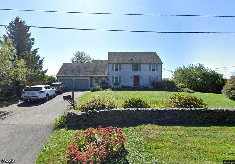
575 Wyatt Rd Middletown, RI 02842
Estimated Value: $887,000 - $1,137,000
4
Beds
3
Baths
2,310
Sq Ft
$445/Sq Ft
Est. Value
About This Home
This home is located at 575 Wyatt Rd, Middletown, RI 02842 and is currently estimated at $1,028,289, approximately $445 per square foot. 575 Wyatt Rd is a home located in Newport County with nearby schools including Middletown High School, All Saints STEAM Academy, and The Pennfield School.
Ownership History
Date
Name
Owned For
Owner Type
Purchase Details
Closed on
Jan 20, 1984
Bought by
Devine Thomas F and Devine Carole A
Current Estimated Value
Create a Home Valuation Report for This Property
The Home Valuation Report is an in-depth analysis detailing your home's value as well as a comparison with similar homes in the area
Home Values in the Area
Average Home Value in this Area
Purchase History
| Date | Buyer | Sale Price | Title Company |
|---|---|---|---|
| Devine Thomas F | -- | -- |
Source: Public Records
Mortgage History
| Date | Status | Borrower | Loan Amount |
|---|---|---|---|
| Open | Devine Thomas F | $100,000 | |
| Closed | Devine Thomas F | $100,000 | |
| Open | Devine Thomas F | $211,900 |
Source: Public Records
Tax History Compared to Growth
Tax History
| Year | Tax Paid | Tax Assessment Tax Assessment Total Assessment is a certain percentage of the fair market value that is determined by local assessors to be the total taxable value of land and additions on the property. | Land | Improvement |
|---|---|---|---|---|
| 2025 | $9,174 | $778,100 | $370,900 | $407,200 |
| 2024 | $8,761 | $778,100 | $370,900 | $407,200 |
| 2023 | $6,941 | $551,300 | $253,400 | $297,900 |
| 2022 | $6,627 | $551,300 | $253,400 | $297,900 |
| 2021 | $6,627 | $551,300 | $253,400 | $297,900 |
| 2020 | $6,232 | $452,900 | $191,100 | $261,800 |
| 2018 | $6,227 | $452,900 | $191,100 | $261,800 |
| 2016 | $6,572 | $426,200 | $172,500 | $253,700 |
| 2015 | $6,410 | $426,200 | $172,500 | $253,700 |
| 2014 | $6,552 | $407,700 | $148,600 | $259,100 |
| 2013 | $6,405 | $407,700 | $148,600 | $259,100 |
Source: Public Records
Map
Nearby Homes
- 223 Corey Ln
- 980 Green End Ave
- 119 Corey Ln
- 10 Bartlett Rd
- 310 Corey Ln
- 318 Corey Ln
- 0 Saltwood Dr
- 62 Howland Ave
- 92 Harvest Dr
- 16 Sachuest Dr
- 0 Coggeshall Way
- 481 Oliphant Ln
- 78 Cornelius Dr
- 0 Honeyman Ave
- 841 Forest Park
- 476 Green End Ave
- 836 Forest Park
- 533 Forest Park
- 362 Bramans Ln
- 529 Forest Park
- 725 Mitchells Ln
- 00 Mitchell's Ln
- 733 Mitchells Ln
- 708 Mitchells Ln
- 546 Wyatt Rd
- 675 Mitchells Ln
- 749 Mitchells Ln
- 763 Mitchells Ln
- 763 Mitchell's Ln
- 777 Mitchell's Ln
- 777 Mitchells Ln
- 641 Mitchells Ln
- 795 Mitchells Ln
- 636 Mitchells Ln
- 811 Mitchells Ln
- 811 Mitchell's Ln
- 614 Mitchells Ln
- 821 Mitchells Ln
- 600 Mitchells Ln
- 839 Mitchells Ln