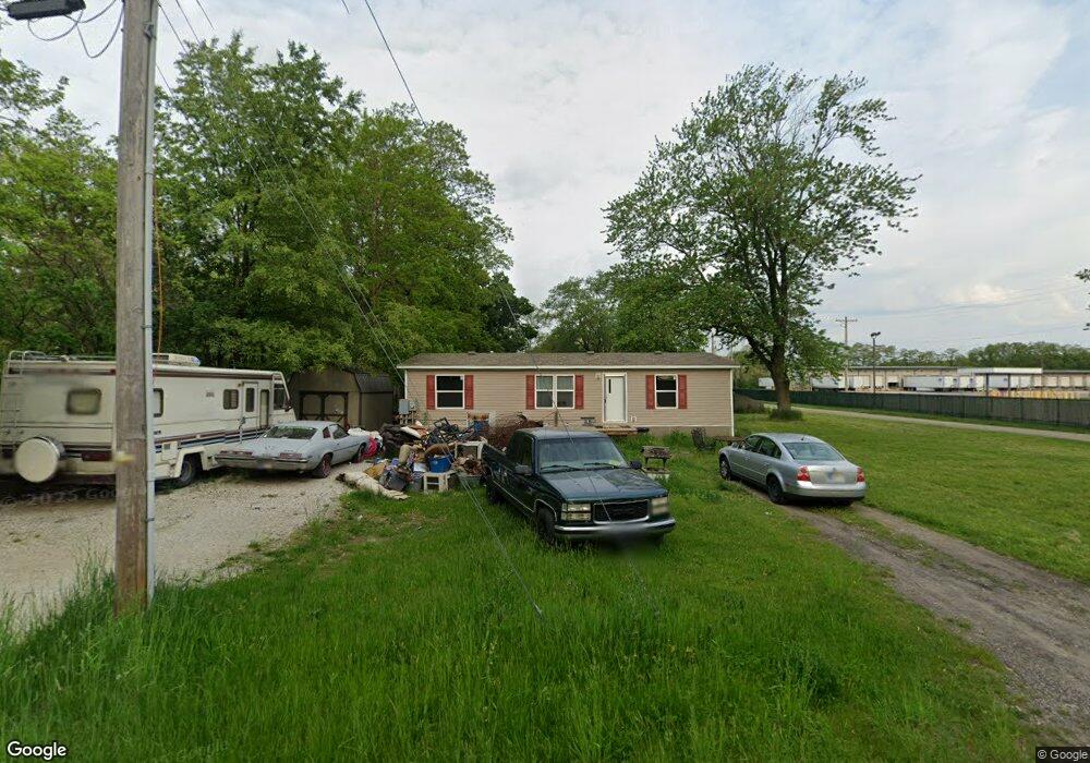
57507 Edwards St Elkhart, IN 46517
Estimated Value: $195,000
1
Bed
1
Bath
872
Sq Ft
$224/Sq Ft
Est. Value
About This Home
This home is located at 57507 Edwards St, Elkhart, IN 46517 and is currently priced at $195,000, approximately $223 per square foot. 57507 Edwards St is a home located in Elkhart County with nearby schools including Jimtown Intermediate School, Jimtown Elementary School, and Jimtown Junior High School.
Ownership History
Date
Name
Owned For
Owner Type
Purchase Details
Closed on
Feb 9, 2012
Sold by
Clark Jeffrey L and Clark Brenda T
Bought by
Geans Jason
Current Estimated Value
Purchase Details
Closed on
Jun 6, 2002
Sold by
Clark Brenda T
Bought by
Clark Jeffrey L and Clark Brenda T
Home Financials for this Owner
Home Financials are based on the most recent Mortgage that was taken out on this home.
Original Mortgage
$32,300
Interest Rate
10.12%
Mortgage Type
Purchase Money Mortgage
Purchase Details
Closed on
Jun 5, 2002
Sold by
Wood Lyman C
Bought by
Miller Lynn Dale and Miller Karri A
Home Financials for this Owner
Home Financials are based on the most recent Mortgage that was taken out on this home.
Original Mortgage
$32,300
Interest Rate
10.12%
Mortgage Type
Purchase Money Mortgage
Create a Home Valuation Report for This Property
The Home Valuation Report is an in-depth analysis detailing your home's value as well as a comparison with similar homes in the area
Home Values in the Area
Average Home Value in this Area
Purchase History
| Date | Buyer | Sale Price | Title Company |
|---|---|---|---|
| Geans Jason | $332 | None Available | |
| Clark Jeffrey L | -- | Metropolitan Title | |
| Clark Brenda T | -- | Metropolitan Title | |
| Miller Lynn Dale | -- | Metropolitan Title |
Source: Public Records
Mortgage History
| Date | Status | Borrower | Loan Amount |
|---|---|---|---|
| Previous Owner | Clark Brenda T | $32,300 |
Source: Public Records
Tax History Compared to Growth
Tax History
| Year | Tax Paid | Tax Assessment Tax Assessment Total Assessment is a certain percentage of the fair market value that is determined by local assessors to be the total taxable value of land and additions on the property. | Land | Improvement |
|---|---|---|---|---|
| 2021 | $1,985 | $133,900 | $5,600 | $128,300 |
| 2020 | $1,985 | $105,300 | $5,600 | $99,700 |
| 2019 | $107 | $5,600 | $5,600 | $0 |
| 2018 | $101 | $5,600 | $5,600 | $0 |
| 2017 | $114 | $5,600 | $5,600 | $0 |
| 2016 | $86 | $4,200 | $4,200 | $0 |
| 2014 | $85 | $4,200 | $4,200 | $0 |
| 2013 | $96 | $4,200 | $4,200 | $0 |
Source: Public Records
Map
Nearby Homes
- 56585 Best Ave
- 28856 Driftwood Dr
- 56611 Miller Dr
- 1529 Okema St
- 29203 Old Us 33
- 29388 County Road 18
- 28878 Bernice Dr
- 56545 Sun Ray Dr
- 58396 Summer Wind Ct
- 29299 Raintree Ct
- 2341 Southdale Dr
- 58656 Baugo Crossing
- 1637 Rainbow Bend Blvd
- County Road 9th St
- 27 Quail Island Dr
- 919 W Wolf Ave
- 29437 Robert Jr Dr
- 59147 Wilray Dr
- 56039 Rio Lindo Dr
- 1309 Harrison St