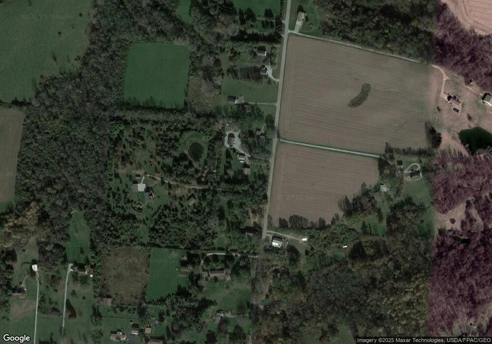
5755 Willowdale Rd Springfield, OH 45502
Estimated Value: $322,242 - $420,000
3
Beds
2
Baths
1,583
Sq Ft
$227/Sq Ft
Est. Value
About This Home
This home is located at 5755 Willowdale Rd, Springfield, OH 45502 and is currently estimated at $359,311, approximately $226 per square foot. 5755 Willowdale Rd is a home located in Clark County with nearby schools including Northwestern Elementary School and Northwestern Junior/Senior High School.
Ownership History
Date
Name
Owned For
Owner Type
Purchase Details
Closed on
Apr 5, 2016
Sold by
Kuskey Chad
Bought by
Ackley Kenneth A
Current Estimated Value
Home Financials for this Owner
Home Financials are based on the most recent Mortgage that was taken out on this home.
Original Mortgage
$154,112
Outstanding Balance
$117,391
Interest Rate
3.64%
Mortgage Type
Commercial
Estimated Equity
$241,920
Purchase Details
Closed on
May 25, 2012
Sold by
Fannie Mae
Bought by
Huskey Chad
Home Financials for this Owner
Home Financials are based on the most recent Mortgage that was taken out on this home.
Original Mortgage
$112,244
Interest Rate
3.57%
Mortgage Type
New Conventional
Purchase Details
Closed on
Mar 1, 2012
Sold by
Heaston Sumuel S and Pnc Bank Na
Bought by
Federal National Mortgae Assn
Purchase Details
Closed on
Jan 25, 1994
Bought by
Heaston Samuel S
Create a Home Valuation Report for This Property
The Home Valuation Report is an in-depth analysis detailing your home's value as well as a comparison with similar homes in the area
Purchase History
| Date | Buyer | Sale Price | Title Company |
|---|---|---|---|
| Ackley Kenneth A | -- | None Available | |
| Huskey Chad | $110,000 | None Available | |
| Federal National Mortgae Assn | $90,000 | None Available | |
| Heaston Samuel S | -- | -- |
Source: Public Records
Mortgage History
| Date | Status | Borrower | Loan Amount |
|---|---|---|---|
| Open | Ackley Kenneth A | $154,112 | |
| Previous Owner | Huskey Chad | $112,244 |
Source: Public Records
Tax History
| Year | Tax Paid | Tax Assessment Tax Assessment Total Assessment is a certain percentage of the fair market value that is determined by local assessors to be the total taxable value of land and additions on the property. | Land | Improvement |
|---|---|---|---|---|
| 2025 | $4,093 | $100,620 | $18,560 | $82,060 |
| 2024 | $3,889 | $84,870 | $15,130 | $69,740 |
| 2023 | $3,889 | $84,870 | $15,130 | $69,740 |
| 2022 | $3,996 | $84,870 | $15,130 | $69,740 |
| 2021 | $3,533 | $66,650 | $11,550 | $55,100 |
| 2020 | $3,568 | $66,650 | $11,550 | $55,100 |
| 2019 | $3,498 | $65,950 | $11,550 | $54,400 |
| 2018 | $2,947 | $54,750 | $10,500 | $44,250 |
| 2017 | $2,949 | $54,747 | $10,500 | $44,247 |
| 2016 | $2,890 | $54,747 | $10,500 | $44,247 |
| 2015 | $2,844 | $53,932 | $10,500 | $43,432 |
| 2014 | $2,843 | $53,932 | $10,500 | $43,432 |
| 2013 | $2,824 | $53,932 | $10,500 | $43,432 |
Source: Public Records
Map
Nearby Homes
- 6250 Willowdale Rd
- 4661 Rosswood Ln
- 4444 Willowdale Rd
- 4211 Grey Stone Crossing
- 30 Center St
- 4328 Pine Tree Place
- 4472 Saint Paris Pike
- 5409 Willow Dale Rd
- 5411 Terre Haute Rd
- 4242 Upper Valley Pike
- 3145 Troy Rd
- 5770 Storms Creek Rd
- 5886 State Route 55
- 6258 Zachary Ave
- 2639 Anita Dr
- 3961 Shrine Rd
- 3000-3002 Shrine Rd
- 3314 Scotsdale Dr
- 2137 Manhattan Blvd
- 0 Moorefield Rd
- 5779 Willowdale Rd
- 5778 Willowdale Rd
- 5746 Willowdale Rd
- 5756 Willowdale Rd
- 5768 Willowdale Rd
- 5728 Willowdale Rd
- 5728 Willow Dale Rd
- 5746 Willow Dale Rd
- 5693 Willowdale Rd
- 5661 Willowdale Rd
- 5693 Willowdale Rd
- 5641 Willow Dale Rd
- 5827 Willowdale Rd
- 5705 Willowdale Rd
- 5871 Willowdale Rd
- 5644 Willowdale Rd
- 5625 Willowdale Rd
- 5625 Willow Dale Rd
- 5875 Willowdale Rd
- 5790 Willowdale Rd
Your Personal Tour Guide
Ask me questions while you tour the home.
