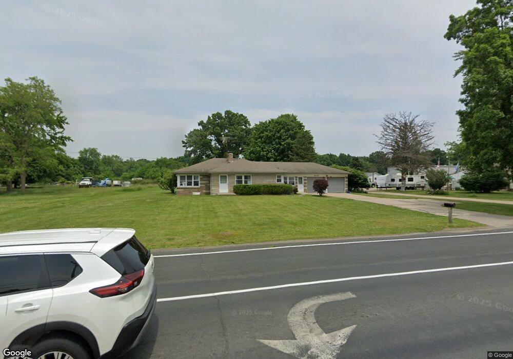
5757 E H Ave Kalamazoo, MI 49048
Estimated Value: $253,000 - $309,000
3
Beds
3
Baths
1,900
Sq Ft
$149/Sq Ft
Est. Value
About This Home
This home is located at 5757 E H Ave, Kalamazoo, MI 49048 and is currently estimated at $283,996, approximately $149 per square foot. 5757 E H Ave is a home located in Kalamazoo County with nearby schools including Comstock Elementary School, Comstock Middle School, and Comstock High School.
Ownership History
Date
Name
Owned For
Owner Type
Purchase Details
Closed on
Jul 2, 2025
Sold by
Dally James E
Bought by
Daily James E
Current Estimated Value
Purchase Details
Closed on
Aug 10, 2005
Sold by
Federal National Mortgage Association
Bought by
United Guaranty Residential Insurance
Purchase Details
Closed on
Mar 12, 2004
Sold by
Abn Amro Mortgage Group Inc
Bought by
Federal National Mortgage Association
Purchase Details
Closed on
Mar 11, 2004
Sold by
Stanley Hope E and Stanley Kelly R
Bought by
Abn Amro Mortgage Group Inc
Create a Home Valuation Report for This Property
The Home Valuation Report is an in-depth analysis detailing your home's value as well as a comparison with similar homes in the area
Home Values in the Area
Average Home Value in this Area
Purchase History
| Date | Buyer | Sale Price | Title Company |
|---|---|---|---|
| Daily James E | -- | None Listed On Document | |
| United Guaranty Residential Insurance | -- | None Available | |
| Federal National Mortgage Association | -- | -- | |
| Abn Amro Mortgage Group Inc | $123,061 | -- |
Source: Public Records
Tax History
| Year | Tax Paid | Tax Assessment Tax Assessment Total Assessment is a certain percentage of the fair market value that is determined by local assessors to be the total taxable value of land and additions on the property. | Land | Improvement |
|---|---|---|---|---|
| 2025 | $3,454 | $157,400 | $0 | $0 |
| 2024 | $3,353 | $150,100 | $0 | $0 |
| 2023 | $3,196 | $127,000 | $0 | $0 |
| 2022 | $4,468 | $106,800 | $0 | $0 |
| 2021 | $4,346 | $97,200 | $0 | $0 |
| 2020 | $4,144 | $90,400 | $0 | $0 |
| 2019 | $3,902 | $81,300 | $0 | $0 |
| 2018 | $3,779 | $77,400 | $0 | $0 |
| 2017 | $0 | $77,200 | $0 | $0 |
| 2016 | -- | $80,200 | $0 | $0 |
| 2015 | -- | $64,600 | $18,500 | $46,100 |
| 2014 | -- | $64,600 | $0 | $0 |
Source: Public Records
Map
Nearby Homes
- 2644 N 26th St
- 2888 Clarice St
- 5346 E H Ave
- 3784 Jennings Dr
- 3039 Casper St
- 2924 Hunters Hill
- 2931 Hunters Hill
- 2731 Hunters Point
- 2680 Hunters Point
- 2869 Hunters Run
- 2891 Hunters Run
- 2626 Hunters Point
- 2648 Hunters Point
- 2612 Hunters Point
- 4029 Durango St
- 5581 E Main St
- 2669 Hunters Bluff Unit L23
- 3519 Oak Tree Dr
- 1934 Nazareth Rd
- 2214 Hunters Pond
Your Personal Tour Guide
Ask me questions while you tour the home.