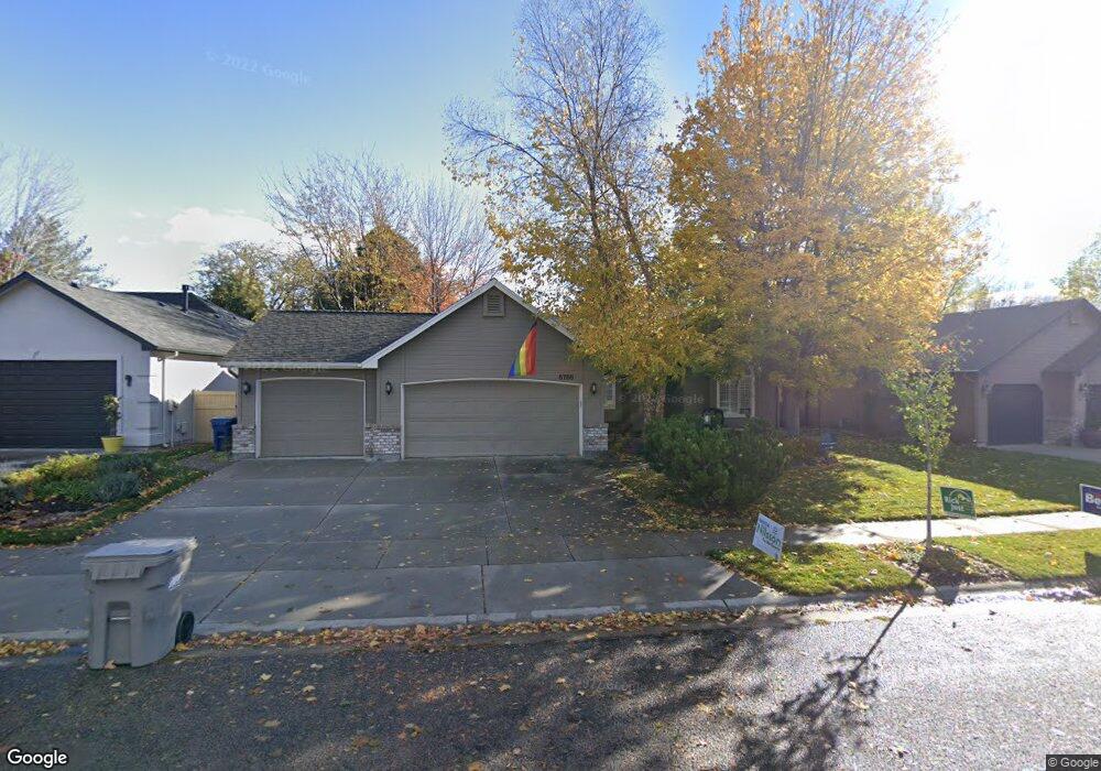
5758 N Applebrook Way Boise, ID 83713
West Boise NeighborhoodEstimated Value: $484,000 - $518,000
4
Beds
2
Baths
1,738
Sq Ft
$286/Sq Ft
Est. Value
About This Home
This home is located at 5758 N Applebrook Way, Boise, ID 83713 and is currently estimated at $496,982, approximately $285 per square foot. 5758 N Applebrook Way is a home located in Ada County with nearby schools including Cecil D. Andrus Elementary School, Lowell Scott Middle School, and Centennial High School.
Ownership History
Date
Name
Owned For
Owner Type
Purchase Details
Closed on
Aug 15, 2019
Sold by
Walt James C and Walt Jennifer J
Bought by
Walt James C and Walt Jennifer J
Current Estimated Value
Purchase Details
Closed on
Jan 6, 1999
Sold by
Blackstead Builders Inc
Bought by
Wukitch John W and Wukitch Gailann C
Home Financials for this Owner
Home Financials are based on the most recent Mortgage that was taken out on this home.
Original Mortgage
$118,000
Outstanding Balance
$27,299
Interest Rate
6.73%
Mortgage Type
Purchase Money Mortgage
Estimated Equity
$469,683
Create a Home Valuation Report for This Property
The Home Valuation Report is an in-depth analysis detailing your home's value as well as a comparison with similar homes in the area
Home Values in the Area
Average Home Value in this Area
Purchase History
| Date | Buyer | Sale Price | Title Company |
|---|---|---|---|
| Walt James C | -- | None Available | |
| Wukitch John W | -- | Pioneer Title Company | |
| Blackstead Builders Inc | -- | -- |
Source: Public Records
Mortgage History
| Date | Status | Borrower | Loan Amount |
|---|---|---|---|
| Open | Wukitch John W | $118,000 |
Source: Public Records
Tax History Compared to Growth
Tax History
| Year | Tax Paid | Tax Assessment Tax Assessment Total Assessment is a certain percentage of the fair market value that is determined by local assessors to be the total taxable value of land and additions on the property. | Land | Improvement |
|---|---|---|---|---|
| 2025 | $1,932 | $448,400 | -- | -- |
| 2024 | $1,874 | $417,100 | -- | -- |
| 2023 | $1,874 | $394,200 | $0 | $0 |
| 2022 | $2,297 | $465,300 | $0 | $0 |
| 2021 | $2,053 | $359,200 | $0 | $0 |
| 2020 | $1,838 | $284,400 | $0 | $0 |
| 2019 | $2,172 | $269,600 | $0 | $0 |
| 2018 | $1,891 | $233,100 | $0 | $0 |
| 2017 | $1,825 | $220,200 | $0 | $0 |
| 2016 | $1,775 | $208,800 | $0 | $0 |
| 2015 | $804 | $197,700 | $0 | $0 |
| 2012 | -- | $153,800 | $0 | $0 |
Source: Public Records
Map
Nearby Homes
- 13388 W Elmspring Dr
- 5788 N Graham Ave
- 13312 W Elmspring Dr
- 13617 W Wrigley Ct
- 13268 W Elmspring Dr
- 14186 W Chadford Dr
- 5530 N Papago Ave
- 6247 N Bellecreek Ave
- 5545 N Rothmans Ave
- 13325 W Bluebell Dr
- 5095 N Blue Ash Ave
- 13246 W Bluebell Dr
- 14435 W Kensington Ct
- 6238 N Royal Park Ave
- 14469 W Guinness Dr
- 5174 N Rothmans Ave
- 4991 N Blue Ash Way
- 5167 N Rothmans Ave
- 5674 N Heathrow Way
- 14551 W Barclay St
- 5772 N Applebrook Way
- 5749 N Brooklet Place
- 5804 N Applebrook Way
- 5718 N Applebrook Way
- 5777 N Brooklet Place
- 5731 N Brooklet Place
- 5759 N Applebrook Way
- 5795 N Brooklet Place
- 5745 N Applebrook Way
- 5771 N Applebrook Way
- 5690 N Applebrook Way
- 5820 N Applebrook Way
- 5723 N Applebrook Way
- 5797 N Applebrook Way
- 5723 N Brooklet Place
- 5809 N Brooklet Place
- 5699 N Applebrook Way
- 5837 N Applebrook Way
- 5838 N Applebrook Way
- 13670 W Elmspring St