Estimated Value: $467,000 - $504,186
4
Beds
3
Baths
2,487
Sq Ft
$193/Sq Ft
Est. Value
About This Home
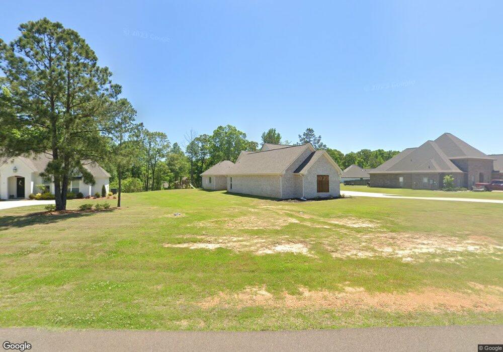
This home is located at 576 Asbury Lane Dr, Pearl, MS 39208 and is currently estimated at $481,047, approximately $193 per square foot. 576 Asbury Lane Dr is a home located in Rankin County with nearby schools including Pearl Lower Elementary School, Pearl Upper School, and Northside Elementary School.
Ownership History
Date
Name
Owned For
Owner Type
Purchase Details
Closed on
Oct 13, 2020
Sold by
Taylor Matoya G and Taylor Eric
Bought by
Murphree Gary L and Murphree Beverly J
Current Estimated Value
Home Financials for this Owner
Home Financials are based on the most recent Mortgage that was taken out on this home.
Original Mortgage
$302,175
Outstanding Balance
$275,953
Interest Rate
4.5%
Mortgage Type
Adjustable Rate Mortgage/ARM
Estimated Equity
$205,094
Purchase Details
Closed on
Jan 11, 2019
Sold by
Crown Homes Llc
Bought by
Taylor Maroya G and Taylor Eric
Home Financials for this Owner
Home Financials are based on the most recent Mortgage that was taken out on this home.
Original Mortgage
$345,000
Interest Rate
4.6%
Mortgage Type
New Conventional
Create a Home Valuation Report for This Property
The Home Valuation Report is an in-depth analysis detailing your home's value as well as a comparison with similar homes in the area
Home Values in the Area
Average Home Value in this Area
Purchase History
| Date | Buyer | Sale Price | Title Company |
|---|---|---|---|
| Murphree Gary L | -- | None Available | |
| Taylor Maroya G | -- | -- |
Source: Public Records
Mortgage History
| Date | Status | Borrower | Loan Amount |
|---|---|---|---|
| Open | Murphree Gary L | $302,175 | |
| Previous Owner | Taylor Maroya G | $345,000 |
Source: Public Records
Tax History Compared to Growth
Tax History
| Year | Tax Paid | Tax Assessment Tax Assessment Total Assessment is a certain percentage of the fair market value that is determined by local assessors to be the total taxable value of land and additions on the property. | Land | Improvement |
|---|---|---|---|---|
| 2024 | $4,164 | $35,708 | $0 | $0 |
| 2023 | $3,701 | $32,004 | $0 | $0 |
| 2022 | $3,653 | $32,004 | $0 | $0 |
| 2021 | $3,653 | $32,004 | $0 | $0 |
| 2020 | $3,653 | $32,004 | $0 | $0 |
Source: Public Records
Map
Nearby Homes
- 126 Asbury Square
- 589 Asbury Lane Dr
- 0 Asbury Lane Dr Unit 4124886
- 110 Alex Seals Ln
- 1015 Longwood Place
- 0 Eldorado Cove Unit 4107565
- 141 Richburg Ct
- 0 Brock Cir Unit 4126665
- 112 Richburg Ct
- 167 Woodgate Dr
- 155 Post Hill Rd
- 225 Burnham Rd
- 141 Post Hill Rd
- 135 Ridge Cove
- 446 Piney Dr
- 418 Piney Dr
- 416 Piney Dr
- 108 Fairdale Place
- 116 Long Meadow Ct
- 79 Terrapin Dr
- 576 Asbury Lane Dr
- 574 Asbury Lane Dr
- 578 Asbury Lane Dr
- 705 Trailside Place
- 580 Asbury Lane Dr
- 703 Trailside Place
- 701 Trailside Place
- 2016 S Cobblestone Cove
- 707 Trailside Place
- 708 Trailside Place
- 579 Asbury Lane Dr
- 2014 S Cobblestone Cove
- 2012 S Cobblestone Cove
- 582 Asbury Lane Dr
- 2010 S Cobblestone Cove
- 581 Asbury Lane Dr
- 2018 S Cobblestone Cove
- 568 Asbury Lane Dr
- 706 Trailside Place
- 2008 S Cobblestone Cove