576 Burnham Rd Brandon, MS 39042
Estimated Value: $274,000 - $389,504
4
Beds
2
Baths
3,277
Sq Ft
$104/Sq Ft
Est. Value
About This Home
This home is located at 576 Burnham Rd, Brandon, MS 39042 and is currently estimated at $341,876, approximately $104 per square foot. 576 Burnham Rd is a home located in Rankin County with nearby schools including Rouse Elementary School, Brandon Elementary School, and Stonebridge Elementary School.
Ownership History
Date
Name
Owned For
Owner Type
Purchase Details
Closed on
Jul 16, 2020
Sold by
Evarette Holt Zachary Ft
Bought by
Squyres Eric and Squyres Kimberly
Current Estimated Value
Home Financials for this Owner
Home Financials are based on the most recent Mortgage that was taken out on this home.
Original Mortgage
$258,241
Outstanding Balance
$229,416
Interest Rate
3.2%
Mortgage Type
New Conventional
Estimated Equity
$112,460
Create a Home Valuation Report for This Property
The Home Valuation Report is an in-depth analysis detailing your home's value as well as a comparison with similar homes in the area
Home Values in the Area
Average Home Value in this Area
Purchase History
| Date | Buyer | Sale Price | Title Company |
|---|---|---|---|
| Squyres Eric | -- | None Available |
Source: Public Records
Mortgage History
| Date | Status | Borrower | Loan Amount |
|---|---|---|---|
| Open | Squyres Eric | $258,241 |
Source: Public Records
Tax History
| Year | Tax Paid | Tax Assessment Tax Assessment Total Assessment is a certain percentage of the fair market value that is determined by local assessors to be the total taxable value of land and additions on the property. | Land | Improvement |
|---|---|---|---|---|
| 2024 | $3,297 | $27,560 | $0 | $0 |
| 2023 | $2,984 | $25,158 | $0 | $0 |
| 2022 | $2,946 | $25,158 | $0 | $0 |
| 2021 | $2,883 | $24,672 | $0 | $0 |
| 2020 | $4,775 | $37,008 | $0 | $0 |
| 2019 | $1,871 | $21,700 | $0 | $0 |
| 2018 | $1,843 | $21,700 | $0 | $0 |
| 2017 | $1,843 | $21,700 | $0 | $0 |
| 2016 | $1,647 | $21,138 | $0 | $0 |
| 2015 | $1,647 | $21,138 | $0 | $0 |
| 2014 | $1,618 | $21,138 | $0 | $0 |
| 2013 | -- | $21,138 | $0 | $0 |
Source: Public Records
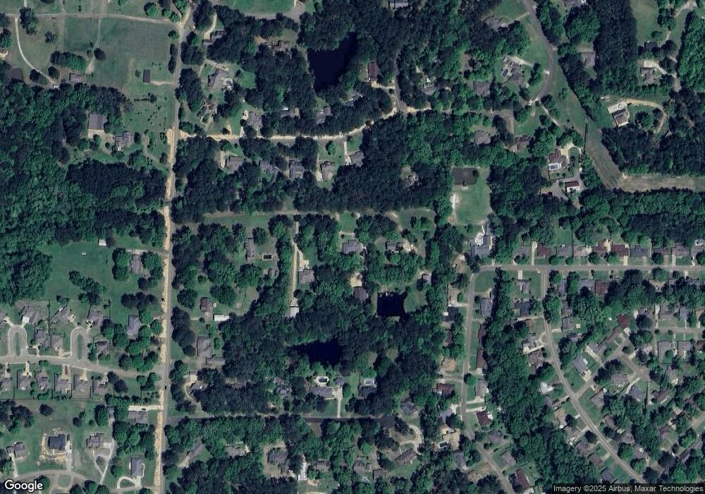
Map
Nearby Homes
- 1230 Crossview Ct
- 501 Asbury Lane Dr
- 0 Asbury Lane Dr Unit 4124886
- 204 Village Place
- 146 Forest Ridge Dr
- 2046 S Cobblestone Cove
- 123 Woodgate Dr
- 100 Fairdale Place
- 589 Asbury Lane Dr
- 111 Hickory Hill Place
- 116 Oakhill Place
- 705 Heartwood Ln
- 104 Shelby Mae Cir
- 119 Fern Valley Rd
- 92 Fern Valley Rd
- 320 Eagle Cove
- 0 Eldorado Cove Unit 4107565
- 1015 Longwood Place
- 0 Quail Hill Rd Unit 4137695
- 102 Sunline Dr
- 580 Burnham Rd
- 572 Burnham Rd
- 123 Blackbridge Dr
- 127 Blackbridge Dr
- 125 Blackbridge Dr
- 117 Blackbridge Dr
- 560 Burnham Rd
- 129 Summit Ridge Dr
- 127 Summit Ridge Dr
- 125 Summit Ridge Dr
- 115 Blackbridge Dr
- 123 Summit Ridge Dr
- 131 Summit Ridge Dr
- 118 Blackbridge Dr
- 2114 Shadowlawn St
- 2118 Shadowlawn St
- 124 Summit Ridge Dr
- 121 Summit Ridge Dr
- 124 Blackbridge Dr
- 107 Blackbridge Dr
Your Personal Tour Guide
Ask me questions while you tour the home.