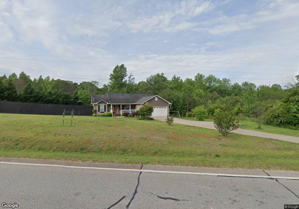
5761 Highway 320 Carnesville, GA 30521
Estimated Value: $260,000 - $355,000
3
Beds
2
Baths
1,504
Sq Ft
$206/Sq Ft
Est. Value
About This Home
This home is located at 5761 Highway 320, Carnesville, GA 30521 and is currently estimated at $309,663, approximately $205 per square foot. 5761 Highway 320 is a home located in Franklin County with nearby schools including Franklin County High School.
Ownership History
Date
Name
Owned For
Owner Type
Purchase Details
Closed on
Jun 6, 2013
Sold by
Ausborn Brittney Lee
Bought by
Ausborn Justin Mattew
Current Estimated Value
Purchase Details
Closed on
Aug 20, 2012
Sold by
Ausborn Justin Matthew
Bought by
Ausborn Justin Matthew and Ausborn Brittney Lee
Create a Home Valuation Report for This Property
The Home Valuation Report is an in-depth analysis detailing your home's value as well as a comparison with similar homes in the area
Home Values in the Area
Average Home Value in this Area
Purchase History
| Date | Buyer | Sale Price | Title Company |
|---|---|---|---|
| Ausborn Justin Mattew | -- | -- | |
| Ausborn Justin Matthew | -- | -- |
Source: Public Records
Tax History Compared to Growth
Tax History
| Year | Tax Paid | Tax Assessment Tax Assessment Total Assessment is a certain percentage of the fair market value that is determined by local assessors to be the total taxable value of land and additions on the property. | Land | Improvement |
|---|---|---|---|---|
| 2024 | $1,903 | $79,954 | $4,064 | $75,890 |
| 2023 | $1,877 | $72,767 | $3,695 | $69,072 |
| 2022 | $1,696 | $65,755 | $2,871 | $62,884 |
| 2021 | $1,588 | $57,708 | $2,871 | $54,837 |
| 2020 | $1,604 | $57,708 | $2,871 | $54,837 |
| 2019 | $1,550 | $57,708 | $2,871 | $54,837 |
| 2018 | $1,331 | $49,540 | $3,603 | $45,937 |
| 2017 | $1,384 | $49,540 | $3,603 | $45,937 |
| 2016 | $1,292 | $44,263 | $3,603 | $40,660 |
| 2015 | -- | $44,263 | $3,603 | $40,660 |
| 2014 | -- | $44,263 | $3,603 | $40,660 |
| 2013 | -- | $44,691 | $3,603 | $41,088 |
Source: Public Records
Map
Nearby Homes
- 6060 Highway 320
- 125 Lewis Crump Rd
- 83 Henry Williams Rd
- 340 Mcfarlin Blvd
- 2845 Hunters Creek Rd
- 1035 McFarlin Bridge Rd
- LOT 10 Bent Tree Rd
- 0 Banks Academy Rd Unit 10636762
- 0 Red Hill Rd Unit 10564928
- 6343 Georgia 198
- 2526 Prospect Rd
- 2630 Prospect Rd
- 4001 Highway 198
- 95 Farmers Academy Rd
- 0 Farmers Academy Rd Unit 20094392
- 0 Poplar Mountain Ln
- 150 Garrison Rd
- 262 Garrison Rd
- 0 Falcon Ln Unit 10495019
- 0 Falcon Ln Unit 1024877
- 5626 Highway 320 Unit 11+AC
- 5636 Highway 320
- 5759 Highway 320
- 5759 Highway 320
- 5880 Highway 320
- 0 Hwy 320 Unit 6036501
- 0 Hwy 320 Unit 8246974
- 0 Hwy 320 Unit 8230131
- 0 Hwy 320 Unit 7074865
- 0 Hwy 320 Unit 3206807
- 0 Lewis Crump Rd Unit TRACT 3 7018871
- 0 Hwy 320 Unit TRACT 1OR 2 7018877
- 0 Hwy 320 Unit TRACT 1, 2 7018873
- 0 Hwy 320 Unit 7105253
- 0 Hwy 320 Unit TRACT 1OR 2 7107282
- 0 Highway 320 Lewis Crump Unit TRACT 1,2,3 7107258
- 0 Hwy 320 Unit 20174719
- 0 Highway 320 Lewis Crump Unit TRACT 1,2,3 7018864
- 0 Hwy 320 Unit 8888617
- 0 Hwy 320 Unit 8857863