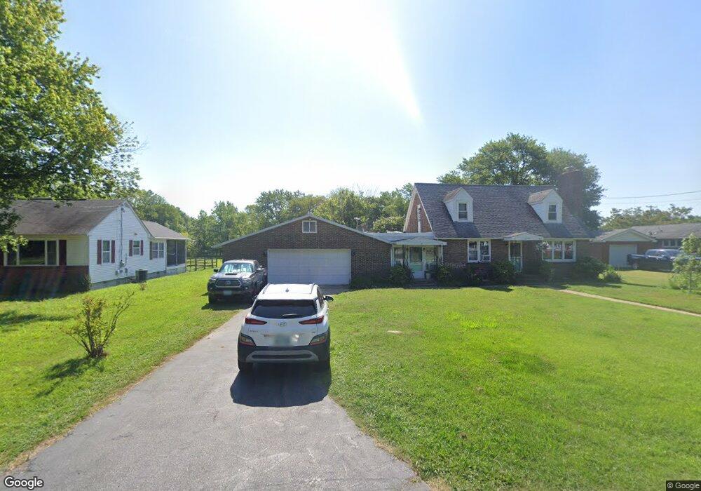
5763 Kent Ave Rock Hall, MD 21661
Estimated Value: $358,000 - $448,000
3
Beds
2
Baths
1,511
Sq Ft
$260/Sq Ft
Est. Value
About This Home
This home is located at 5763 Kent Ave, Rock Hall, MD 21661 and is currently estimated at $393,432, approximately $260 per square foot. 5763 Kent Ave is a home located in Kent County with nearby schools including Center for Innovation, Kent County Middle School, and Kent County High School.
Ownership History
Date
Name
Owned For
Owner Type
Purchase Details
Closed on
Dec 9, 2022
Sold by
Tyson Paul A
Bought by
Tyson Paul A
Current Estimated Value
Purchase Details
Closed on
Sep 22, 2009
Sold by
Bank Of America National Assoc
Bought by
Tyson Paul A and Tyson Aimee L
Purchase Details
Closed on
Jun 25, 2003
Sold by
Kendall Ruth Alice
Bought by
Kendall James P
Purchase Details
Closed on
Aug 19, 1997
Sold by
Kendall George C and Ruth Alice
Bought by
Kendall Ruth Alice
Create a Home Valuation Report for This Property
The Home Valuation Report is an in-depth analysis detailing your home's value as well as a comparison with similar homes in the area
Home Values in the Area
Average Home Value in this Area
Purchase History
| Date | Buyer | Sale Price | Title Company |
|---|---|---|---|
| Tyson Paul A | -- | -- | |
| Tyson Paul A | $90,500 | -- | |
| Bank Of America Na | $178,500 | -- | |
| Kendall James P | -- | -- | |
| Kendall Ruth Alice | -- | -- |
Source: Public Records
Tax History Compared to Growth
Tax History
| Year | Tax Paid | Tax Assessment Tax Assessment Total Assessment is a certain percentage of the fair market value that is determined by local assessors to be the total taxable value of land and additions on the property. | Land | Improvement |
|---|---|---|---|---|
| 2025 | $3,053 | $215,800 | $0 | $0 |
| 2024 | $2,882 | $189,100 | $82,400 | $106,700 |
| 2023 | $2,826 | $185,400 | $0 | $0 |
| 2022 | $2,733 | $181,700 | $0 | $0 |
| 2021 | $2,617 | $178,000 | $82,400 | $95,600 |
| 2020 | $2,617 | $177,533 | $0 | $0 |
| 2019 | $2,610 | $177,067 | $0 | $0 |
| 2018 | $2,568 | $176,600 | $82,400 | $94,200 |
| 2017 | $2,568 | $176,600 | $0 | $0 |
| 2016 | -- | $176,600 | $0 | $0 |
| 2015 | $3,023 | $180,200 | $0 | $0 |
| 2014 | $3,023 | $180,200 | $0 | $0 |
Source: Public Records
Map
Nearby Homes
- 5750 Walnut St
- 5697 Walnut St
- 5791 S Hawthorne Ave
- 21090 W Sharp St Unit 133
- 21090 W Sharp St Unit 112
- 6119 New St Unit 2
- 21119 Striper Run
- 5980 Lawton Ave
- #2 Lawton Ave
- 21131 Striper Run
- 21163 Chesapeake Ave
- 21133 Striper Run
- 21139 Striper Run
- 21141 Striper Run
- 5829 N Main St
- 5686 S Main St
- 21305 Haven Rd
- 5898 Williams St
- 21332 E Sharp St
- 21336 Haven Rd
- 5775 Kent Ave
- 20840 Bayside Ave
- 5758 Walnut St
- 5770 Kent Ave
- 5758 Kent Ave
- 5780 Kent Ave
- 20856 Bayside Ave
- 5787 Kent Ave
- 20825 Mercer Ave
- 20831 Bayside Ave
- 20839 Bayside Ave
- 0 Bayside Ave Unit 1007649728
- 0 Bayside Ave Unit MDKE2002934
- 0 Bayside Ave Unit MDKE117610
- 0 Bayside Ave Unit MDKE116936
- 0 Bayside Ave Unit 1003451300
- Lot 2 Bayside Ave
- 5777 Maple Rd
- 20870 Bayside Ave
- 5757 Walnut St