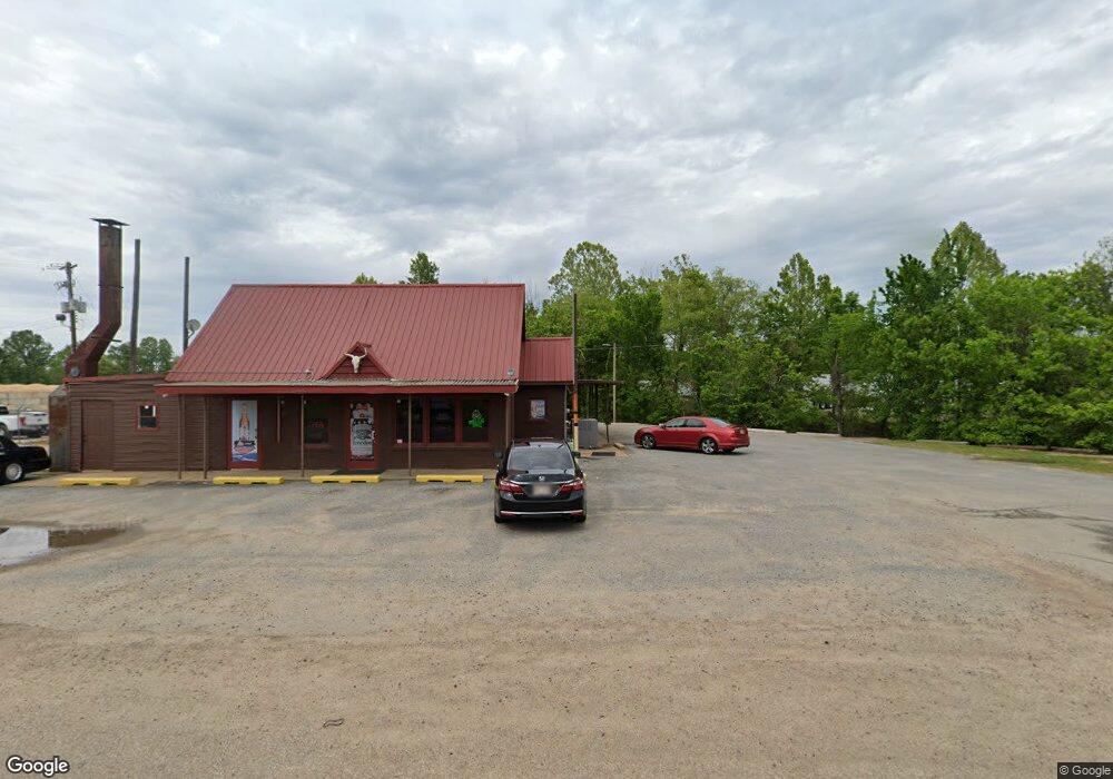
5766 Highway 178 Olive Branch, MS 38654
--
Bed
--
Bath
3,079
Sq Ft
0.52
Acres
About This Home
This home is located at 5766 Highway 178, Olive Branch, MS 38654. 5766 Highway 178 is a home located in DeSoto County with nearby schools including Overpark Elementary School, Center Hill High School, and Desoto Christian Academy.
Ownership History
Date
Name
Owned For
Owner Type
Purchase Details
Closed on
May 18, 2022
Sold by
Mills Judy C
Bought by
Cripple Creek Rental Inc
Purchase Details
Closed on
Feb 22, 2013
Sold by
Mccommon Bessie W
Bought by
Mills Judy C and Jeans Stephanie M
Home Financials for this Owner
Home Financials are based on the most recent Mortgage that was taken out on this home.
Original Mortgage
$105,000
Interest Rate
3.4%
Mortgage Type
Commercial
Purchase Details
Closed on
Mar 29, 2005
Sold by
Ashmore Jerry Wayne
Bought by
Ivy Trails Llc
Purchase Details
Closed on
Jan 18, 2004
Sold by
Ivy Trails Llc
Bought by
Ashmore Jerry Wayne and Ashmore Margaret A
Create a Home Valuation Report for This Property
The Home Valuation Report is an in-depth analysis detailing your home's value as well as a comparison with similar homes in the area
Home Values in the Area
Average Home Value in this Area
Purchase History
| Date | Buyer | Sale Price | Title Company |
|---|---|---|---|
| Cripple Creek Rental Inc | -- | None Listed On Document | |
| Mills Judy C | -- | None Available | |
| Ivy Trails Llc | -- | None Available | |
| Ashmore Jerry Wayne | -- | None Available | |
| Ashmore Jerry Wayne | -- | None Available |
Source: Public Records
Mortgage History
| Date | Status | Borrower | Loan Amount |
|---|---|---|---|
| Previous Owner | Mills Judy C | $105,000 |
Source: Public Records
Tax History Compared to Growth
Tax History
| Year | Tax Paid | Tax Assessment Tax Assessment Total Assessment is a certain percentage of the fair market value that is determined by local assessors to be the total taxable value of land and additions on the property. | Land | Improvement |
|---|---|---|---|---|
| 2024 | $1,554 | $11,383 | $3,000 | $8,383 |
| 2023 | $1,554 | $11,383 | $0 | $0 |
| 2022 | $1,554 | $11,383 | $3,000 | $8,383 |
| 2021 | $1,554 | $11,383 | $3,000 | $8,383 |
| 2020 | $1,614 | $11,825 | $3,000 | $8,825 |
| 2019 | $1,614 | $11,825 | $3,000 | $8,825 |
| 2017 | $1,532 | $19,338 | $11,169 | $8,169 |
| 2016 | $1,532 | $11,169 | $3,000 | $8,169 |
| 2015 | $1,532 | $19,338 | $11,169 | $8,169 |
| 2014 | $1,532 | $11,169 | $0 | $0 |
| 2013 | $1,488 | $11,169 | $0 | $0 |
Source: Public Records
Map
Nearby Homes
- 7925 Kirkwood Cove
- 7906 Kirkwood Cove
- 8870 Collinswood Dr
- 7689 Germantown Rd
- 9037 Plantation Rd
- 9004 Lakeside Cove
- 9081 Lakeside Dr
- 9195 Lakeside Dr
- 9158 Lakeside Dr
- 8971 Tahoe Cove
- 8300 Waverly Cove
- 8390 Ms-178
- 8247 Montrose Dr
- 8939 Travis Dr
- 7741 Meadow Ridge Ln
- 7669 Meadow Ridge Ln
- 8017 Camptown Ln
- 9164 Superior Cove
- 7384 Woodland Dr
- 8382 Regal Bend Dr
- 8058 Germantown Rd
- 8091 Germantown Rd
- 8043 Germantown Rd
- 9073 Lyon Cove
- 8057 Longwood Dr
- 9079 Lyon Cove
- 8035 Longwood Dr
- 8079 Longwood Dr
- 8101 Longwood Dr
- 9082 Lyon Cove
- 9031 Lyon Cove
- 8119 Longwood Dr
- 7983 Kirkwood Cove
- 7973 Germantown Rd
- 9076 Lyon Cove
- 9131 Laurel Hill W
- 8007 Germantown Rd
- 8088 Longwood Dr
- 8135 Longwood Dr
- 7963 Kirkwood Cove