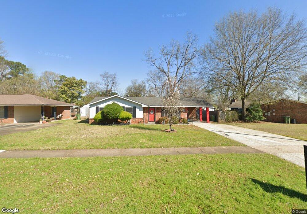
5767 Wares Ferry Rd Montgomery, AL 36117
East Montgomery NeighborhoodEstimated Value: $134,000 - $150,123
--
Bed
--
Bath
1,463
Sq Ft
$97/Sq Ft
Est. Value
About This Home
This home is located at 5767 Wares Ferry Rd, Montgomery, AL 36117 and is currently estimated at $142,531, approximately $97 per square foot. 5767 Wares Ferry Rd is a home located in Montgomery County with nearby schools including Wares Ferry Road Elementary School, Goodwyn Middle School, and Dr. Percy L. Julian High School.
Ownership History
Date
Name
Owned For
Owner Type
Purchase Details
Closed on
Aug 4, 2005
Sold by
Sims Betty B and Sims Stanford F
Bought by
Brown Betty Jo
Current Estimated Value
Home Financials for this Owner
Home Financials are based on the most recent Mortgage that was taken out on this home.
Original Mortgage
$77,140
Outstanding Balance
$40,138
Interest Rate
5.61%
Mortgage Type
FHA
Estimated Equity
$102,393
Create a Home Valuation Report for This Property
The Home Valuation Report is an in-depth analysis detailing your home's value as well as a comparison with similar homes in the area
Home Values in the Area
Average Home Value in this Area
Purchase History
| Date | Buyer | Sale Price | Title Company |
|---|---|---|---|
| Brown Betty Jo | $85,140 | -- |
Source: Public Records
Mortgage History
| Date | Status | Borrower | Loan Amount |
|---|---|---|---|
| Open | Brown Betty Jo | $77,140 | |
| Closed | Brown Betty Jo | $10,000 |
Source: Public Records
Tax History Compared to Growth
Tax History
| Year | Tax Paid | Tax Assessment Tax Assessment Total Assessment is a certain percentage of the fair market value that is determined by local assessors to be the total taxable value of land and additions on the property. | Land | Improvement |
|---|---|---|---|---|
| 2025 | $669 | $14,440 | $1,500 | $12,940 |
| 2024 | $653 | $14,100 | $1,500 | $12,600 |
| 2023 | $653 | $11,560 | $1,500 | $10,060 |
| 2022 | $298 | $9,300 | $1,500 | $7,800 |
| 2021 | $263 | $8,320 | $0 | $0 |
| 2020 | $263 | $8,320 | $1,500 | $6,820 |
| 2019 | $264 | $8,350 | $1,500 | $6,850 |
| 2018 | $288 | $7,900 | $1,500 | $6,400 |
| 2017 | $225 | $14,560 | $3,000 | $11,560 |
| 2014 | $229 | $7,394 | $1,500 | $5,894 |
| 2013 | -- | $8,200 | $1,500 | $6,700 |
Source: Public Records
Map
Nearby Homes
- 576 Dunbarton Rd
- 691 Dunbarton Rd
- 5737 Darien Dr
- 0000 N Burbank Dr
- 709 Balfour Rd
- 740 Havelock Ln
- 5821 Hyde Park Dr
- 6120 Hinchcliff Rd
- 5717 Ainsworth Dr
- 6201 Dalford Dr
- 0 Wares Ferry Rd
- 6241 Wares Ferry Rd
- 6037 Burbank Crossing Loop
- 6214 Gladstone Dr
- 5922 Havenwood Dr
- 6136 Burbank Crossing Loop
- 5701 Bangor Ct
- 6427 Pinebrook Dr
- 6408 Pinebrook Dr
- 6316 Pinebrook Dr
- 5761 Wares Ferry Rd
- 5773 Wares Ferry Rd
- 5778 Roxboro Dr
- 5755 Wares Ferry Rd
- 5772 Roxboro Dr
- 5784 Roxboro Dr
- 5766 Roxboro Dr
- 5749 Wares Ferry Rd
- 5760 Roxboro Dr
- 5766 Wares Ferry Rd
- 5772 Wares Ferry Rd
- 5760 Wares Ferry Rd
- 5801 Wares Ferry Rd
- 5778 Wares Ferry Rd
- 5754 Roxboro Dr
- 5754 Wares Ferry Rd
- 5802 Roxboro Dr
- 5743 Wares Ferry Rd
- 5800 Wares Ferry Rd
- 5748 Roxboro Dr