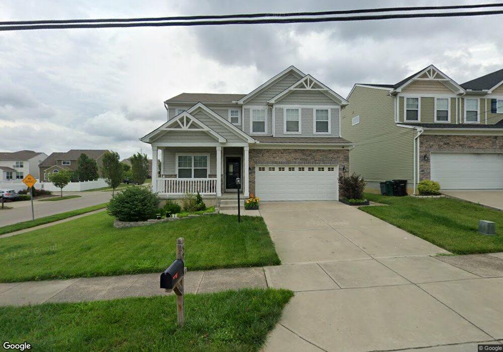
5768 Rhode Island Ave Cincinnati, OH 45237
Bond Hill NeighborhoodEstimated Value: $317,559 - $456,000
About This Home
This home is located at 5768 Rhode Island Ave, Cincinnati, OH 45237 and is currently estimated at $389,640, approximately $193 per square foot. 5768 Rhode Island Ave is a home with nearby schools including Bond Hill Academy Elementary School, Shroder High School, and Clark Montessori High School.
Ownership History
We collect this data history from publicly available records. To have your information removed, we recommend requesting removal directly through your county’s website.
Purchase Details
Home Financials for this Owner
Home Financials are based on the most recent Mortgage that was taken out on this home.Home Values in the Area
Average Home Value in this Area
Purchase History
We collect this data history from publicly available records. To have your information removed, we recommend requesting removal directly through your county’s website.
| Date | Buyer | Sale Price | Title Company |
|---|---|---|---|
| $36,000 | -- | ||
| $35,000 | Springdale Title |
Mortgage History
We collect this data history from publicly available records. To have your information removed, we recommend requesting removal directly through your county’s website.
| Date | Status | Borrower | Loan Amount |
|---|---|---|---|
| Open | $220,797 | ||
| Closed | $179,896 |
Tax History
We collect this data history from publicly available records. To have your information removed, we recommend requesting removal directly through your county’s website.
| Year | Tax Paid | Tax Assessment Tax Assessment Total Assessment is a certain percentage of the fair market value that is determined by local assessors to be the total taxable value of land and additions on the property. | Land | Improvement |
|---|---|---|---|---|
| 2025 | $782 | $100,037 | $11,375 | $88,662 |
| 2023 | $782 | $100,037 | $11,375 | $88,662 |
| 2022 | $918 | $77,651 | $12,173 | $65,478 |
| 2021 | $884 | $77,651 | $12,173 | $65,478 |
| 2020 | $888 | $77,651 | $12,173 | $65,478 |
| 2019 | $910 | $56,844 | $11,375 | $45,469 |
| 2018 | $911 | $11,375 | $11,375 | $0 |
| 2017 | $875 | $11,375 | $11,375 | $0 |
| 2016 | $0 | $0 | $0 | $0 |
Map
- 5764 Rhode Island Ave
- 2011 Dale Rd
- 5702 Hunter Ave
- 5605 Rhode Island Ave
- 5730 Carthage Ave
- 5437 Rolston Ave
- 5419 Rolston Ave
- 5129 Newfield Ave
- 5033 Newfield Ave
- 2128 Glenside Ave
- 5948 Morning Dew Ct
- 1818 Dalewood Place
- 5405 Carthage Ave
- 5338 Section Ave
- 2169 Glenside Ave
- 5321 Warren Ave
- 5323 Rolston Ave
- 5314 Section Ave
- 1843 Northcutt Ave
- 5337 Carthage Ave
- 5756 Rhode Island Ave
- 5760 Rhode Island Ave
- 5752 Rhode Island Ave
- 2050 Misty Oak Ln
- 1930 Portman Ave
- 5742 Rhode Island Ave
- 1928 Portman Ave
- 5736 Section Ave
- 5735 Warren Ave
- 1929 Portman Ave
- 1926 Portman Ave
- 2058 Mistyoak Ln
- 1927 Portman Ave
- 5734 Section Ave
- 1924 Portman Ave Unit 3
- 1924 Portman Ave Unit 4
- 1924 Portman Ave
- 5733 Warren Ave
- 2011 Faith St
- 1925 Portman Ave
Ask me questions while you tour the home.