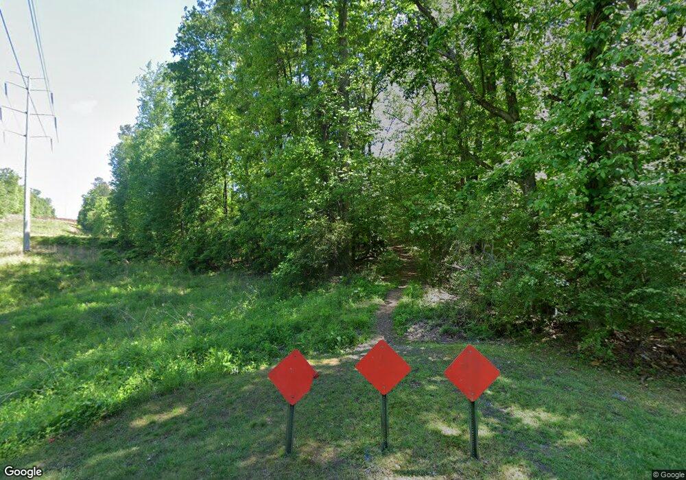
577 Anderson Rd NW Marietta, GA 30064
Estimated Value: $240,782 - $330,000
--
Bed
--
Bath
--
Sq Ft
2.2
Acres
About This Home
This home is located at 577 Anderson Rd NW, Marietta, GA 30064 and is currently estimated at $283,927. 577 Anderson Rd NW is a home located in Cobb County with nearby schools including West Side Elementary School, Marietta Sixth Grade Academy, and Marietta Middle School.
Ownership History
Date
Name
Owned For
Owner Type
Purchase Details
Closed on
Mar 21, 2024
Sold by
Trabue Bryans Kordares Revocable Trust and George James Kordares Revocable Trust
Bought by
Kanko Ivonne G and Musa Emmerensia Atanga
Current Estimated Value
Purchase Details
Closed on
Feb 17, 2022
Sold by
Kanko Ivonne G
Bought by
Kanko Ivonne G and Musa Emmerensia Atanga
Home Financials for this Owner
Home Financials are based on the most recent Mortgage that was taken out on this home.
Original Mortgage
$153,750
Interest Rate
5.3%
Mortgage Type
New Conventional
Create a Home Valuation Report for This Property
The Home Valuation Report is an in-depth analysis detailing your home's value as well as a comparison with similar homes in the area
Home Values in the Area
Average Home Value in this Area
Purchase History
| Date | Buyer | Sale Price | Title Company |
|---|---|---|---|
| Kanko Ivonne G | -- | None Listed On Document | |
| Kanko Ivonne G | $153,750 | Weissman Pc | |
| Kanko Ivonne G | $205,000 | Weissman Pc |
Source: Public Records
Mortgage History
| Date | Status | Borrower | Loan Amount |
|---|---|---|---|
| Previous Owner | Kanko Ivonne G | $153,750 |
Source: Public Records
Tax History Compared to Growth
Tax History
| Year | Tax Paid | Tax Assessment Tax Assessment Total Assessment is a certain percentage of the fair market value that is determined by local assessors to be the total taxable value of land and additions on the property. | Land | Improvement |
|---|---|---|---|---|
| 2025 | $693 | $81,872 | $81,872 | -- |
| 2024 | $693 | $81,872 | $81,872 | -- |
| 2023 | $693 | $81,872 | $81,872 | $0 |
| 2022 | $327 | $38,596 | $38,596 | $0 |
| 2021 | $332 | $38,596 | $38,596 | $0 |
| 2020 | $265 | $30,888 | $30,888 | $0 |
| 2019 | $265 | $30,888 | $30,888 | $0 |
| 2018 | $265 | $30,888 | $30,888 | $0 |
| 2017 | $196 | $28,512 | $28,512 | $0 |
| 2016 | $196 | $28,512 | $28,512 | $0 |
| 2015 | $214 | $28,512 | $28,512 | $0 |
| 2014 | $221 | $28,512 | $0 | $0 |
Source: Public Records
Map
Nearby Homes
- 1803 Stone Bridge Way
- 761 Hardage Farm Dr NW
- 741 Crossfire Ridge NW
- 764 Sharpshooters Ridge NW
- 606 Tabbystone St NW
- 1981 Village Round NW
- 608 Tabbystone St NW Unit 2
- 510 Towneside Ln
- 2358 New Salem Trace
- 1416 Walcutts Way NW
- 302 Summer Garden Dr
- 2150 Unity Trail NW
- 1640 Kenai Rd
- 2376 Tabbystone Ln NW
- 319 Summer Garden Dr
- 1025 Ector Dr NW
- 577 Anderson Rd NW
- 578 Anderson Rd NW
- 1901 Stone Bridge Ln
- 1905 Stone Bridge Ln
- 1909 Stone Bridge Ln
- 1902 Stone Bridge Ln
- 1913 Stone Bridge Ln Unit 34
- 1913 Stone Bridge Ln
- 691 Hardage Farm Dr NW
- 1880 Leonidas Trail NW
- 1906 Stone Bridge Ln
- 711 Hardage Farm Dr NW
- 1870 Kendrick Ct NW
- 681 Hardage Farm Dr NW
- 651 Hardage Farm Dr NW Unit 1
- 1910 Stone Bridge Ln
- 492 Anderson Rd NW
- 721 Hardage Farm Dr NW
- 1917 Stone Bridge Ln
- 1870 Leonidas Trail NW