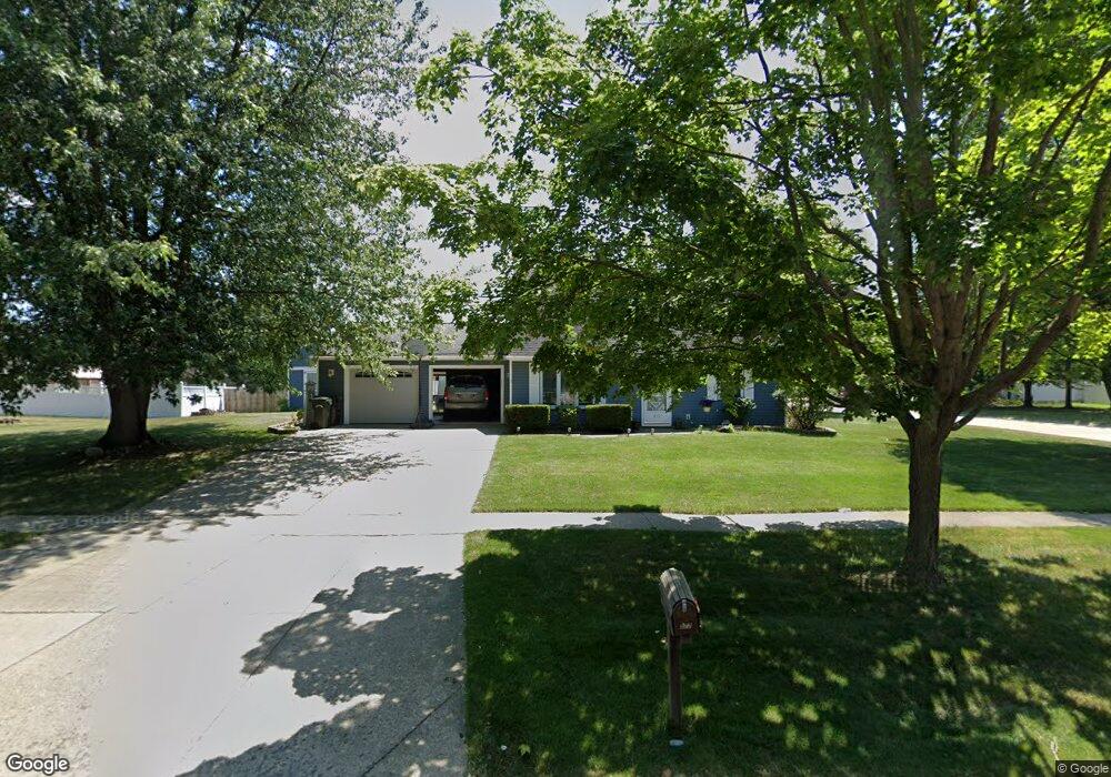
577 Carol Ln Elyria, OH 44035
Estimated Value: $221,605 - $251,000
4
Beds
2
Baths
1,421
Sq Ft
$168/Sq Ft
Est. Value
About This Home
This home is located at 577 Carol Ln, Elyria, OH 44035 and is currently estimated at $239,401, approximately $168 per square foot. 577 Carol Ln is a home located in Lorain County with nearby schools including Eastern Heights Middle School, Elyria High School, and Constellation Schools: Elyria Community Elementary.
Ownership History
Date
Name
Owned For
Owner Type
Purchase Details
Closed on
Dec 12, 2006
Sold by
Smith Richard P and Smith Donna R
Bought by
Palmer Joseph T and Palmer Patricia A
Current Estimated Value
Home Financials for this Owner
Home Financials are based on the most recent Mortgage that was taken out on this home.
Original Mortgage
$130,000
Interest Rate
6.33%
Mortgage Type
Seller Take Back
Create a Home Valuation Report for This Property
The Home Valuation Report is an in-depth analysis detailing your home's value as well as a comparison with similar homes in the area
Home Values in the Area
Average Home Value in this Area
Purchase History
| Date | Buyer | Sale Price | Title Company |
|---|---|---|---|
| Palmer Joseph T | $147,000 | Attorney |
Source: Public Records
Mortgage History
| Date | Status | Borrower | Loan Amount |
|---|---|---|---|
| Closed | Palmer Joseph T | $130,000 |
Source: Public Records
Tax History
| Year | Tax Paid | Tax Assessment Tax Assessment Total Assessment is a certain percentage of the fair market value that is determined by local assessors to be the total taxable value of land and additions on the property. | Land | Improvement |
|---|---|---|---|---|
| 2024 | $2,731 | $57,712 | $14,851 | $42,861 |
| 2023 | $2,450 | $44,951 | $11,442 | $33,509 |
| 2022 | $2,441 | $44,951 | $11,442 | $33,509 |
| 2021 | $2,447 | $44,951 | $11,442 | $33,509 |
| 2020 | $2,283 | $37,310 | $9,500 | $27,810 |
| 2019 | $2,269 | $37,310 | $9,500 | $27,810 |
| 2018 | $2,287 | $37,310 | $9,500 | $27,810 |
| 2017 | $2,301 | $36,200 | $10,820 | $25,380 |
| 2016 | $2,270 | $36,200 | $10,820 | $25,380 |
| 2015 | $2,127 | $36,200 | $10,820 | $25,380 |
| 2014 | $2,060 | $35,490 | $10,600 | $24,890 |
| 2013 | $2,040 | $35,490 | $10,600 | $24,890 |
Source: Public Records
Map
Nearby Homes
- 436 Bayberry Dr
- 246 Syracuse Ct
- 475 Carol Ln
- 715 Carol Ln
- 459 Auburn St
- 128 Richmond Ct
- 134 Richmond Ct
- 418 Carol Ln
- 124 Oakley Green Dr
- 121 Oakley Green Dr Unit 13
- 133 Gleneagle Dr Unit 47
- 219 Bridgeport Dr Unit 35
- 310 Carol Ln
- 38227 Chestnut Ridge Rd
- 148 Bentley Dr Unit 25
- 154 Bentley Dr
- 39046 E River Rd
- 349 Lily Ln
- 106 Stonecrest Trail
- 102 Stonecrest Trail
Your Personal Tour Guide
Ask me questions while you tour the home.