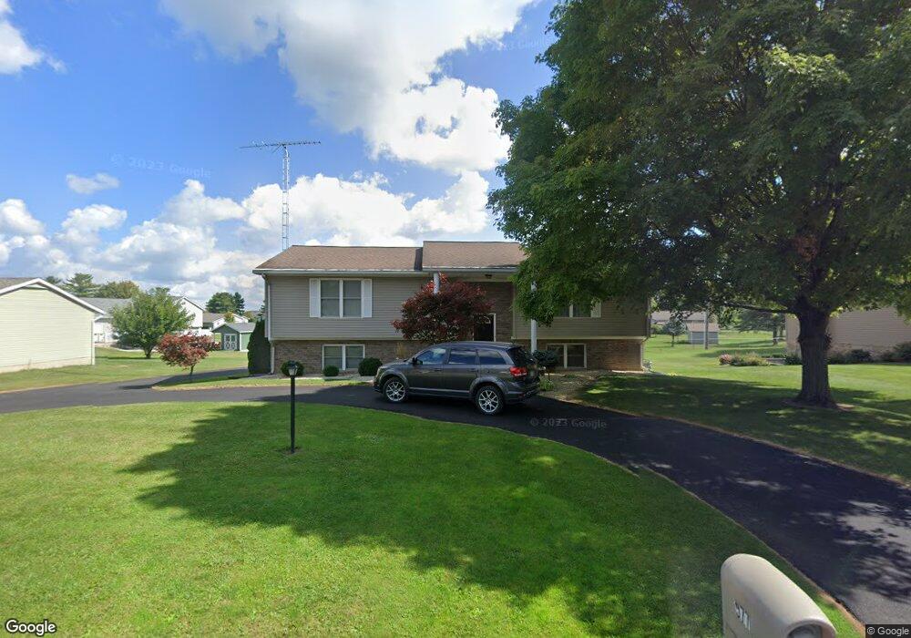
577 Dolly Ave Upper Sandusky, OH 43351
Estimated Value: $252,000 - $335,000
3
Beds
3
Baths
1,456
Sq Ft
$201/Sq Ft
Est. Value
About This Home
This home is located at 577 Dolly Ave, Upper Sandusky, OH 43351 and is currently estimated at $292,721, approximately $201 per square foot. 577 Dolly Ave is a home located in Wyandot County with nearby schools including Upper Sandusky High School and St. Peter Elementary School.
Create a Home Valuation Report for This Property
The Home Valuation Report is an in-depth analysis detailing your home's value as well as a comparison with similar homes in the area
Home Values in the Area
Average Home Value in this Area
Tax History
| Year | Tax Paid | Tax Assessment Tax Assessment Total Assessment is a certain percentage of the fair market value that is determined by local assessors to be the total taxable value of land and additions on the property. | Land | Improvement |
|---|---|---|---|---|
| 2025 | $2,583 | $83,790 | $1,790 | $82,000 |
| 2024 | $2,404 | $73,810 | $1,490 | $72,320 |
| 2023 | $2,404 | $73,810 | $1,490 | $72,320 |
| 2022 | $2,404 | $58,400 | $1,240 | $57,160 |
| 2021 | $1,991 | $58,400 | $1,240 | $57,160 |
| 2020 | $1,990 | $58,400 | $1,240 | $57,160 |
| 2019 | $1,987 | $58,400 | $1,240 | $57,160 |
| 2018 | $1,600 | $47,900 | $1,130 | $46,770 |
| 2017 | $1,626 | $47,900 | $1,130 | $46,770 |
| 2016 | -- | $47,900 | $1,130 | $46,770 |
| 2015 | -- | $46,010 | $1,130 | $44,880 |
| 2014 | -- | $46,010 | $1,130 | $44,880 |
| 2013 | -- | $46,010 | $1,130 | $44,880 |
Source: Public Records
Map
Nearby Homes
- 605 Polaris Dr
- 512 N 7th St
- 386 W Finley St
- 479 N 5th St
- 212 N Hazel St
- 333 N 5th St
- 137 N 8th St
- 334 N 4th St
- 314 N 4th St
- 116 E Walker St
- 432 E Bigelow St
- 0 Ohio 53
- 9768 County Highway 111
- 479 Front St
- 225 S Hazel St
- 0 State Route 53 & 67 Unit 11165687
- 326 S 8th St
- 1030 Halbedel St
- 387 S Warpole St
- 430 S Sandusky Ave
Your Personal Tour Guide
Ask me questions while you tour the home.