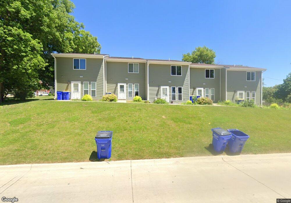
577 N 4th St West Branch, IA 52358
Estimated Value: $113,000 - $143,000
2
Beds
1
Bath
940
Sq Ft
$130/Sq Ft
Est. Value
About This Home
This home is located at 577 N 4th St, West Branch, IA 52358 and is currently estimated at $122,519, approximately $130 per square foot. 577 N 4th St is a home located in Cedar County with nearby schools including Hoover Elementary School, West Branch Middle School, and West Branch High School.
Ownership History
Date
Name
Owned For
Owner Type
Purchase Details
Closed on
Feb 1, 2019
Sold by
Wiesner Cary
Bought by
T & J Sexton Enterprise Llc
Current Estimated Value
Home Financials for this Owner
Home Financials are based on the most recent Mortgage that was taken out on this home.
Original Mortgage
$76,000
Outstanding Balance
$62,834
Interest Rate
4.5%
Mortgage Type
New Conventional
Estimated Equity
$59,685
Create a Home Valuation Report for This Property
The Home Valuation Report is an in-depth analysis detailing your home's value as well as a comparison with similar homes in the area
Home Values in the Area
Average Home Value in this Area
Purchase History
| Date | Buyer | Sale Price | Title Company |
|---|---|---|---|
| T & J Sexton Enterprise Llc | $76,000 | -- |
Source: Public Records
Mortgage History
| Date | Status | Borrower | Loan Amount |
|---|---|---|---|
| Open | T & J Sexton Enterprise Llc | $76,000 |
Source: Public Records
Tax History Compared to Growth
Tax History
| Year | Tax Paid | Tax Assessment Tax Assessment Total Assessment is a certain percentage of the fair market value that is determined by local assessors to be the total taxable value of land and additions on the property. | Land | Improvement |
|---|---|---|---|---|
| 2025 | $1,848 | $112,380 | $8,990 | $103,390 |
| 2024 | $1,848 | $108,730 | $8,990 | $99,740 |
| 2023 | $1,758 | $104,740 | $8,990 | $95,750 |
| 2022 | $1,602 | $82,880 | $6,740 | $76,140 |
| 2021 | $1,678 | $82,880 | $6,740 | $76,140 |
| 2020 | $1,624 | $82,880 | $6,740 | $76,140 |
| 2019 | $1,534 | $84,060 | $0 | $0 |
| 2018 | $1,500 | $84,060 | $0 | $0 |
| 2017 | $1,500 | $77,990 | $0 | $0 |
| 2016 | $1,478 | $77,990 | $0 | $0 |
| 2015 | $1,472 | $77,320 | $0 | $0 |
| 2014 | $1,472 | $77,320 | $0 | $0 |
Source: Public Records
Map
Nearby Homes
- 557 N 4th St
- 521 N 4th St Unit Louise Court Condos
- 121 Northridge Dr Unit 121-139
- 3 Grant St Unit GR3
- 426 N 1st St
- 33 Lou Henry Ln Unit AM33
- 35 Lou Henry Ln Unit AM35
- 110 Northside Dr
- 127 N Downey St
- 120 N Downey St
- 63 Eisenhower St Unit GB63
- 168 290th St
- T.B.D. 275th St
- 27 Bradley Ln Unit AC27
- 12 Bradley Ln Unit AB12
- 316 S Maple St
- 360 Cookson Dr
- 314 Sycamore Dr
- 312 Sycamore Dr
- 316 Sycamore Dr
- 567 N 4th St
- 565 N 4th St
- 561 N 4th St
- 553 N 4th St
- 555 N 4th St
- 411 Lancaster Ln
- 412 Lancaster Ln
- 503 N 4th St
- 410 Lancaster Ln
- 607 N 4th St
- 409 Lancaster Ln
- 500 N 6th St
- 419 N 4th St Unit 5
- 419 N 4th St Unit 4
- 419 N 4th St Unit 3
- 419 N 4th St Unit 2
- 419 N 4th St Unit 1
- 406 Lancaster Ln
- 415 N 4th St
- 410 N 6th St