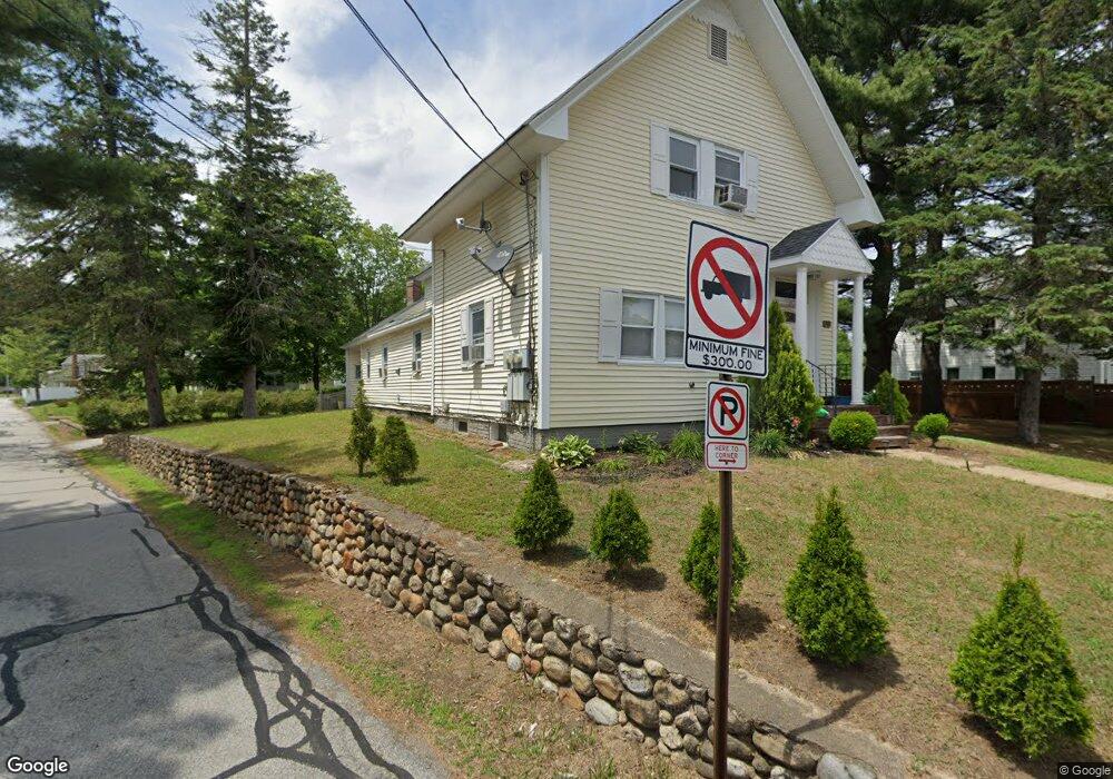
577 S Main St Unit 1 Manchester, NH 03102
Wolfe Park NeighborhoodEstimated Value: $429,475 - $566,000
3
Beds
1
Bath
1,270
Sq Ft
$390/Sq Ft
Est. Value
About This Home
This home is located at 577 S Main St Unit 1, Manchester, NH 03102 and is currently estimated at $494,869, approximately $389 per square foot. 577 S Main St Unit 1 is a home located in Hillsborough County with nearby schools including Parker-Varney School, Middle School at Parkside, and Manchester West High School.
Ownership History
Date
Name
Owned For
Owner Type
Purchase Details
Closed on
Jan 31, 2011
Sold by
Just Another Llc
Bought by
Napi Realty Llc
Current Estimated Value
Home Financials for this Owner
Home Financials are based on the most recent Mortgage that was taken out on this home.
Original Mortgage
$40,000
Interest Rate
4.83%
Purchase Details
Closed on
Jan 14, 2011
Sold by
Rowe Magalie
Bought by
Ameriquest Mortgage
Home Financials for this Owner
Home Financials are based on the most recent Mortgage that was taken out on this home.
Original Mortgage
$40,000
Interest Rate
4.83%
Purchase Details
Closed on
Feb 1, 2002
Sold by
Gester Christine
Bought by
Ullo Thomas E and Ullo Keri L
Purchase Details
Closed on
Aug 4, 1998
Sold by
Dan Bergeron Bldg & De
Bought by
Delmonte Christine
Create a Home Valuation Report for This Property
The Home Valuation Report is an in-depth analysis detailing your home's value as well as a comparison with similar homes in the area
Home Values in the Area
Average Home Value in this Area
Purchase History
| Date | Buyer | Sale Price | Title Company |
|---|---|---|---|
| Napi Realty Llc | $88,000 | -- | |
| Just Another Llc | $80,000 | -- | |
| Ameriquest Mortgage | $132,000 | -- | |
| Ullo Thomas E | $219,900 | -- | |
| Delmonte Christine | $136,300 | -- |
Source: Public Records
Mortgage History
| Date | Status | Borrower | Loan Amount |
|---|---|---|---|
| Open | Delmonte Christine | $57,200 | |
| Closed | Delmonte Christine | $40,000 | |
| Previous Owner | Delmonte Christine | $219,000 |
Source: Public Records
Tax History Compared to Growth
Tax History
| Year | Tax Paid | Tax Assessment Tax Assessment Total Assessment is a certain percentage of the fair market value that is determined by local assessors to be the total taxable value of land and additions on the property. | Land | Improvement |
|---|---|---|---|---|
| 2024 | $5,937 | $303,200 | $94,500 | $208,700 |
| 2023 | $5,718 | $303,200 | $94,500 | $208,700 |
| 2022 | $5,530 | $303,200 | $94,500 | $208,700 |
| 2021 | $5,361 | $303,200 | $94,500 | $208,700 |
| 2020 | $4,582 | $185,800 | $65,200 | $120,600 |
| 2019 | $4,519 | $185,800 | $65,200 | $120,600 |
| 2018 | $4,400 | $185,800 | $65,200 | $120,600 |
| 2017 | $4,333 | $185,800 | $65,200 | $120,600 |
| 2016 | $4,299 | $185,800 | $65,200 | $120,600 |
| 2015 | $3,978 | $169,700 | $65,200 | $104,500 |
| 2014 | $3,988 | $169,700 | $65,200 | $104,500 |
| 2013 | $3,552 | $156,700 | $65,200 | $91,500 |
Source: Public Records
Map
Nearby Homes