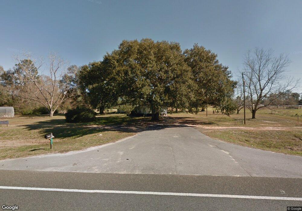
5771 Highway 85 N Unit A Crestview, FL 32536
Estimated Value: $316,713
2
Beds
1
Bath
1,077
Sq Ft
$294/Sq Ft
Est. Value
About This Home
This home is located at 5771 Highway 85 N Unit A, Crestview, FL 32536 and is currently estimated at $316,713, approximately $294 per square foot. 5771 Highway 85 N Unit A is a home located in Okaloosa County with nearby schools including Walker Elementary School, Davidson Middle School, and Crestview High School.
Ownership History
Date
Name
Owned For
Owner Type
Purchase Details
Closed on
Jun 28, 2023
Sold by
Jmta Properties Llc
Bought by
Liveoak Fiber Llc
Current Estimated Value
Purchase Details
Closed on
Jun 22, 2023
Sold by
Welch Delma J
Bought by
Jmta Properties Llc
Purchase Details
Closed on
Jun 17, 2022
Sold by
Robinson Glenda N
Bought by
Jmta Properties Llc
Purchase Details
Closed on
Nov 18, 2021
Sold by
Welch Larry W
Bought by
Welch Delma J
Create a Home Valuation Report for This Property
The Home Valuation Report is an in-depth analysis detailing your home's value as well as a comparison with similar homes in the area
Home Values in the Area
Average Home Value in this Area
Purchase History
| Date | Buyer | Sale Price | Title Company |
|---|---|---|---|
| Liveoak Fiber Llc | $15,000 | None Listed On Document | |
| Jmta Properties Llc | $100 | Knight Barry Title | |
| Jmta Properties Llc | $100 | Knight Barry Title | |
| Jmta Properties Llc | $330,000 | None Listed On Document | |
| Jmta Properties Llc | $330,000 | None Listed On Document | |
| Welch Delma J | -- | Accommodation |
Source: Public Records
Tax History Compared to Growth
Tax History
| Year | Tax Paid | Tax Assessment Tax Assessment Total Assessment is a certain percentage of the fair market value that is determined by local assessors to be the total taxable value of land and additions on the property. | Land | Improvement |
|---|---|---|---|---|
| 2024 | $521 | $45,828 | $45,828 | -- |
| 2023 | $521 | $42,830 | $42,830 | $0 |
| 2022 | $535 | $44,205 | $44,205 | $0 |
| 2021 | $836 | $72,618 | $42,075 | $30,543 |
| 2020 | $801 | $68,811 | $41,250 | $27,561 |
| 2019 | $788 | $66,467 | $41,250 | $25,217 |
| 2018 | $786 | $65,300 | $0 | $0 |
| 2017 | $781 | $63,457 | $0 | $0 |
| 2016 | $768 | $62,640 | $0 | $0 |
| 2015 | $767 | $60,499 | $0 | $0 |
| 2014 | $821 | $64,616 | $0 | $0 |
Source: Public Records
Map
Nearby Homes
- 4858 Aunt Mary's Loop
- 2807 San Antone Ct
- 5740 Highway 85 N
- 2805 San Antone Ct
- Roses V H Plan at Houston Place
- Camellia V H Plan at Houston Place
- Rodessa IV G Plan at Houston Place
- Trillium IV H Plan at Houston Place
- Comstock III G Plan at Houston Place
- Rodessa IV H Plan at Houston Place
- Ravenswood V G Plan at Houston Place
- Ionia III H Plan at Houston Place
- Trillium IV G Plan at Houston Place
- Ionia III G Plan at Houston Place
- Roses V G Plan at Houston Place
- Ravenswood V H Plan at Houston Place
- Camellia V G Plan at Houston Place
- Comstock III H Plan at Houston Place
- 2802 San Antone Ct
- 4809 Grove St
- 5771 Highway 85 N
- Parcel B N Hwy 85
- Parcel A N Hwy 85
- 5745 Highway 85 N
- 2876 Bama Ln
- 5898 Houston Ln
- 2801 Dogwood Acres
- 2872 Bama Ln
- 5912 Highway 85 N
- 2800 Dogwood Acres
- 2868 Bama Ln
- 2901 Murray Ln
- 2905 Murray Ln
- 2909 Murray Ln
- 5731 Highway 85 N
- 2798 Dogwood Acres
- 2822 Phil Tyner Rd
- 2814 Phil Tyner Rd
- 2913 Murray Ln
- 30 +/- AC Highway 85 N Unit Log Cabin Ln
