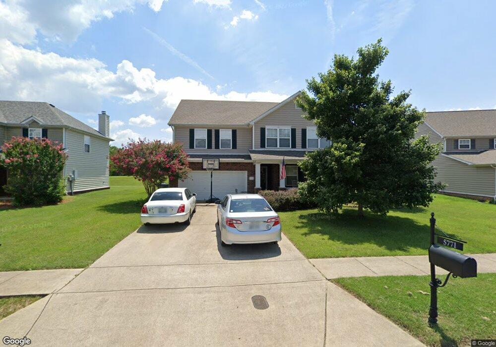
5771 Roxbury Dr Murfreesboro, TN 37128
Estimated Value: $479,771 - $532,000
--
Bed
--
Bath
3,081
Sq Ft
$166/Sq Ft
Est. Value
About This Home
This home is located at 5771 Roxbury Dr, Murfreesboro, TN 37128 and is currently estimated at $511,443, approximately $165 per square foot. 5771 Roxbury Dr is a home located in Rutherford County with nearby schools including Blackman Elementary School, Overall Creek Elementary School, and Blackman Middle School.
Ownership History
Date
Name
Owned For
Owner Type
Purchase Details
Closed on
Nov 24, 2004
Sold by
Centex Homes
Bought by
Starling and Deann
Current Estimated Value
Home Financials for this Owner
Home Financials are based on the most recent Mortgage that was taken out on this home.
Original Mortgage
$150,654
Outstanding Balance
$74,127
Interest Rate
5.57%
Mortgage Type
Purchase Money Mortgage
Estimated Equity
$437,316
Create a Home Valuation Report for This Property
The Home Valuation Report is an in-depth analysis detailing your home's value as well as a comparison with similar homes in the area
Home Values in the Area
Average Home Value in this Area
Purchase History
| Date | Buyer | Sale Price | Title Company |
|---|---|---|---|
| Starling | $185,718 | -- |
Source: Public Records
Mortgage History
| Date | Status | Borrower | Loan Amount |
|---|---|---|---|
| Open | Starling | $150,654 |
Source: Public Records
Tax History Compared to Growth
Tax History
| Year | Tax Paid | Tax Assessment Tax Assessment Total Assessment is a certain percentage of the fair market value that is determined by local assessors to be the total taxable value of land and additions on the property. | Land | Improvement |
|---|---|---|---|---|
| 2025 | $2,991 | $105,725 | $13,750 | $91,975 |
| 2024 | $2,991 | $105,725 | $13,750 | $91,975 |
| 2023 | $1,984 | $105,725 | $13,750 | $91,975 |
| 2022 | $1,709 | $105,725 | $13,750 | $91,975 |
| 2021 | $1,567 | $70,625 | $10,000 | $60,625 |
| 2020 | $1,567 | $70,625 | $10,000 | $60,625 |
| 2019 | $1,567 | $70,625 | $10,000 | $60,625 |
| 2018 | $2,154 | $70,625 | $0 | $0 |
| 2017 | $2,056 | $52,900 | $0 | $0 |
| 2016 | $2,056 | $52,900 | $0 | $0 |
| 2015 | $2,056 | $52,900 | $0 | $0 |
| 2014 | $1,315 | $52,900 | $0 | $0 |
| 2013 | -- | $53,050 | $0 | $0 |
Source: Public Records
Map
Nearby Homes
- 5408 Middlebury Dr
- 2108 Olmstead Ct
- 1526 Dewsbury Dr
- 5227 Starnes Dr
- 4814 Saint Ives Dr
- 1232 Stockwell Dr
- 1235 Timber Creek Dr
- 5350 Tony Lama Ln
- 5309 Perlou Ln
- 1217 Westlawn Blvd
- 4332 Pender Ct
- 6410 Hickory Bell Dr
- 1716 John Lee Ln
- 4439 Chusto Dr
- 629 Brinkley Rd
- 5313 Eiffel Ct
- 1614 Lannister Ave
- 5443 Cloister Dr
- 4826 Trevino Ct
- 1704 Lannister Ave
- 5767 Roxbury Dr
- 5775 Roxbury Dr
- 5763 Roxbury Dr
- 5779 Roxbury Dr
- 5780 Roxbury Dr
- 5770 Roxbury Dr
- 1309 Balson Dr
- 5759 Roxbury Dr
- 1313 Balson Dr
- 5766 Roxbury Dr
- 5783 Roxbury Dr
- 1317 Balson Dr
- 5790 Roxbury Dr
- 5755 Roxbury Dr
- 1302 Chopin Ct S
- 1321 Balson Dr
- 5787 Roxbury Dr
- 5802 Roxbury Dr
- 5751 Roxbury Dr
- 1325 Balson Dr