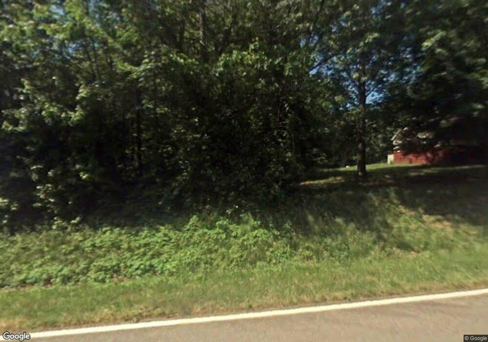
5774 Rich Rd Unit 5786 Morganton, NC 28655
Estimated Value: $190,000 - $276,583
2
Beds
1
Bath
1,566
Sq Ft
$149/Sq Ft
Est. Value
About This Home
This home is located at 5774 Rich Rd Unit 5786, Morganton, NC 28655 and is currently estimated at $233,396, approximately $149 per square foot. 5774 Rich Rd Unit 5786 is a home located in Burke County with nearby schools including W.A. Young Elementary School, Liberty Middle School, and Robert L. Patton High School.
Ownership History
Date
Name
Owned For
Owner Type
Purchase Details
Closed on
Jul 21, 2009
Sold by
Chapman Lee and Chapman Zora D
Bought by
Duckworth Stanley Eugene and Duckworth Catherine Smith
Current Estimated Value
Home Financials for this Owner
Home Financials are based on the most recent Mortgage that was taken out on this home.
Original Mortgage
$105,000
Interest Rate
5.53%
Mortgage Type
Seller Take Back
Purchase Details
Closed on
Apr 4, 2008
Sold by
Mckinney Rodney J and Mckinney Rebecca Diane
Bought by
Chapman Lee and Chapman Zora D
Create a Home Valuation Report for This Property
The Home Valuation Report is an in-depth analysis detailing your home's value as well as a comparison with similar homes in the area
Home Values in the Area
Average Home Value in this Area
Purchase History
| Date | Buyer | Sale Price | Title Company |
|---|---|---|---|
| Duckworth Stanley Eugene | $105,000 | None Available | |
| Chapman Lee | $45,000 | None Available |
Source: Public Records
Mortgage History
| Date | Status | Borrower | Loan Amount |
|---|---|---|---|
| Closed | Duckworth Stanley Eugene | $105,000 |
Source: Public Records
Tax History Compared to Growth
Tax History
| Year | Tax Paid | Tax Assessment Tax Assessment Total Assessment is a certain percentage of the fair market value that is determined by local assessors to be the total taxable value of land and additions on the property. | Land | Improvement |
|---|---|---|---|---|
| 2025 | $974 | $208,914 | $28,038 | $180,876 |
| 2024 | $981 | $208,914 | $28,038 | $180,876 |
| 2023 | $1,484 | $208,914 | $28,038 | $180,876 |
| 2022 | $1,261 | $146,778 | $22,038 | $124,740 |
| 2021 | $1,255 | $146,778 | $22,038 | $124,740 |
| 2020 | $1,252 | $146,778 | $22,038 | $124,740 |
| 2019 | $1,216 | $146,778 | $22,038 | $124,740 |
| 2018 | $1,113 | $133,475 | $22,038 | $111,437 |
| 2017 | $1,112 | $133,475 | $22,038 | $111,437 |
| 2016 | $957 | $116,239 | $22,038 | $94,201 |
| 2015 | $786 | $116,239 | $22,038 | $94,201 |
| 2014 | $785 | $93,997 | $22,634 | $71,363 |
| 2013 | $786 | $93,997 | $22,634 | $71,363 |
Source: Public Records
Map
Nearby Homes
- 5930 Fisher Davis Rd
- 6091 Nowlings Chapel Rd
- 5983 Bollinger Loop
- 5029 Scott Rd
- 3025 Vance Denton Rd
- 4467 Patti Clymer Dr Unit 1
- 3124 Clark Loop
- 4454 Windy Hill Rd
- 5251 Mount Olive Church Rd
- 2130 South Dr Unit Lot 34
- 4854 Elk Ct
- 4970 Morrison Rd
- 0 Elk Ct Unit 26
- 0 Elk Ct Unit 27 CAR4005593
- 0 Doe Ct Unit 19 CAR4005590
- 0 Doe Ct Unit 18
- 6947 Martin Ln
- 6824 Silver Creek Ln
- 7092 Silver Creek Ln Unit 24
- 6792 Silver Creek Ln
