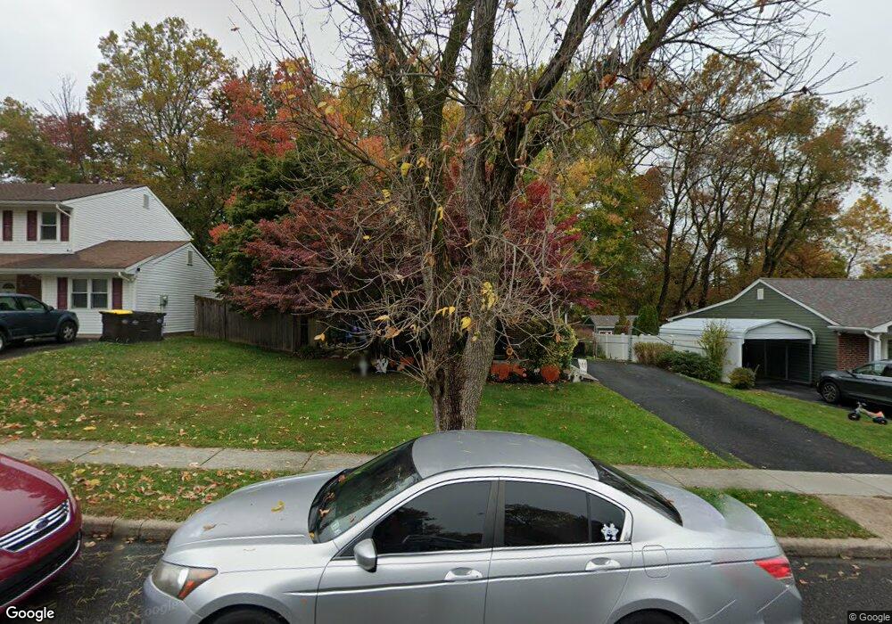
5776 Michael Dr Bensalem, PA 19020
Neshaminy Valley NeighborhoodEstimated Value: $376,605 - $417,000
3
Beds
1
Bath
1,196
Sq Ft
$336/Sq Ft
Est. Value
About This Home
This home is located at 5776 Michael Dr, Bensalem, PA 19020 and is currently estimated at $401,401, approximately $335 per square foot. 5776 Michael Dr is a home located in Bucks County with nearby schools including Valley Elementary School, St. Ephrem School, and Bensalem Baptist School.
Ownership History
Date
Name
Owned For
Owner Type
Purchase Details
Closed on
Sep 4, 1980
Sold by
Home Unity S & L Assn
Bought by
Freeling Joseph A and Cross Colleen
Current Estimated Value
Create a Home Valuation Report for This Property
The Home Valuation Report is an in-depth analysis detailing your home's value as well as a comparison with similar homes in the area
Home Values in the Area
Average Home Value in this Area
Purchase History
| Date | Buyer | Sale Price | Title Company |
|---|---|---|---|
| Freeling Joseph A | $48,000 | -- |
Source: Public Records
Tax History Compared to Growth
Tax History
| Year | Tax Paid | Tax Assessment Tax Assessment Total Assessment is a certain percentage of the fair market value that is determined by local assessors to be the total taxable value of land and additions on the property. | Land | Improvement |
|---|---|---|---|---|
| 2025 | $4,514 | $20,680 | $5,920 | $14,760 |
| 2024 | $4,514 | $20,680 | $5,920 | $14,760 |
| 2023 | $4,387 | $20,680 | $5,920 | $14,760 |
| 2022 | $4,361 | $20,680 | $5,920 | $14,760 |
| 2021 | $4,361 | $20,680 | $5,920 | $14,760 |
| 2020 | $4,318 | $20,680 | $5,920 | $14,760 |
| 2019 | $4,221 | $20,680 | $5,920 | $14,760 |
| 2018 | $4,123 | $20,680 | $5,920 | $14,760 |
| 2017 | $4,098 | $20,680 | $5,920 | $14,760 |
| 2016 | $4,098 | $20,680 | $5,920 | $14,760 |
| 2015 | -- | $20,680 | $5,920 | $14,760 |
| 2014 | -- | $20,680 | $5,920 | $14,760 |
Source: Public Records
Map
Nearby Homes
- 5813 Edge Ave
- 5817 Cricket Ln
- 1734 Gibson Rd Unit 1
- 1838 Sheri Rd
- 1852 Gibson Rd Unit 58
- 1790 Gibson Rd Unit 69
- 1407 Cornflower Ln
- 6124 Clearview Ave
- 6130 Clearview Ave
- 2493 Barnsleigh Dr
- 1446 Gibson Rd Unit D50
- 1446 Gibson Rd Unit B4
- 1446 Gibson Rd
- 66 Freedom Ln Unit 66
- 2548 Nashua Rd
- 5111 Euston Ct
- 120 Liberty Dr Unit 120
- 3200 Ellington Ct
- 4525 Winding Brook Dr Unit 4525
- 5057 Sayer Ct