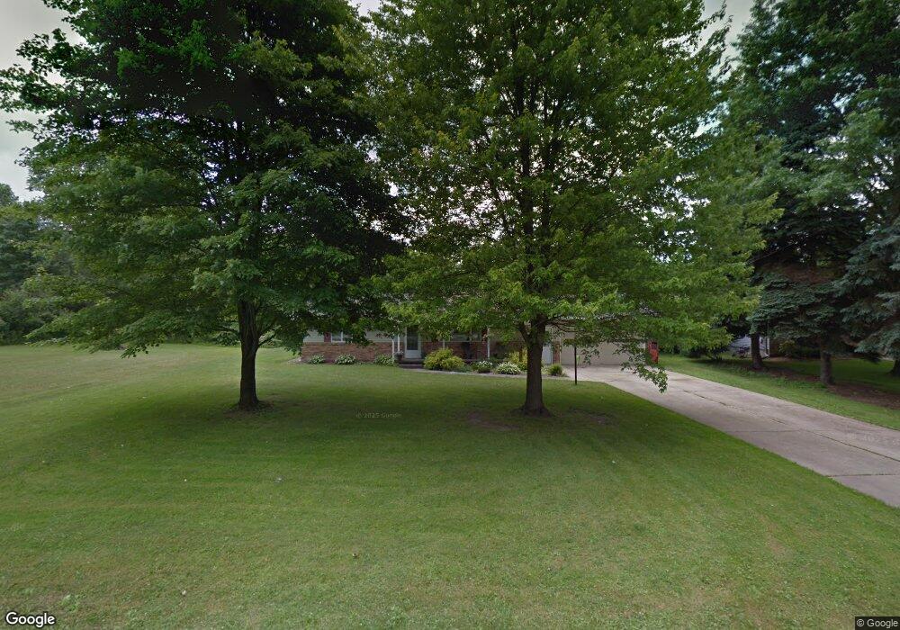
5776 Watson Rd Hubbard, OH 44425
Estimated Value: $206,000 - $262,000
3
Beds
2
Baths
1,784
Sq Ft
$134/Sq Ft
Est. Value
About This Home
This home is located at 5776 Watson Rd, Hubbard, OH 44425 and is currently estimated at $239,094, approximately $134 per square foot. 5776 Watson Rd is a home located in Trumbull County with nearby schools including Hubbard Elementary School, Hubbard Middle School, and Hubbard High School.
Ownership History
Date
Name
Owned For
Owner Type
Purchase Details
Closed on
May 29, 2003
Sold by
Bright Everett M and Bright Frances E
Bought by
Middlestead Ryan A and Kettering Susan M
Current Estimated Value
Home Financials for this Owner
Home Financials are based on the most recent Mortgage that was taken out on this home.
Original Mortgage
$71,250
Outstanding Balance
$31,482
Interest Rate
5.9%
Mortgage Type
New Conventional
Estimated Equity
$207,612
Purchase Details
Closed on
Jan 31, 2001
Sold by
Biel Robert W
Bought by
Bright Everett M and Bright Frances E
Home Financials for this Owner
Home Financials are based on the most recent Mortgage that was taken out on this home.
Original Mortgage
$62,000
Interest Rate
7.22%
Mortgage Type
New Conventional
Purchase Details
Closed on
Jan 1, 1990
Bought by
Robert W Biel
Create a Home Valuation Report for This Property
The Home Valuation Report is an in-depth analysis detailing your home's value as well as a comparison with similar homes in the area
Home Values in the Area
Average Home Value in this Area
Purchase History
| Date | Buyer | Sale Price | Title Company |
|---|---|---|---|
| Middlestead Ryan A | $75,000 | -- | |
| Bright Everett M | $68,900 | -- | |
| Robert W Biel | -- | -- |
Source: Public Records
Mortgage History
| Date | Status | Borrower | Loan Amount |
|---|---|---|---|
| Open | Bright Everett M | $71,250 | |
| Closed | Bright Everett M | $62,000 |
Source: Public Records
Tax History
| Year | Tax Paid | Tax Assessment Tax Assessment Total Assessment is a certain percentage of the fair market value that is determined by local assessors to be the total taxable value of land and additions on the property. | Land | Improvement |
|---|---|---|---|---|
| 2024 | $3,635 | $63,150 | $2,840 | $60,310 |
| 2023 | $3,638 | $63,150 | $2,840 | $60,310 |
| 2022 | $3,340 | $51,630 | $2,840 | $48,790 |
| 2021 | $3,354 | $51,630 | $2,840 | $48,790 |
| 2020 | $3,367 | $51,630 | $2,840 | $48,790 |
| 2019 | $3,249 | $47,190 | $2,840 | $44,350 |
| 2018 | $3,155 | $47,190 | $2,840 | $44,350 |
| 2017 | $3,146 | $47,190 | $2,840 | $44,350 |
| 2016 | $2,795 | $42,880 | $2,450 | $40,430 |
| 2015 | $2,279 | $34,720 | $2,450 | $32,270 |
| 2014 | $2,237 | $34,720 | $2,450 | $32,270 |
| 2013 | $1,543 | $23,770 | $2,420 | $21,350 |
Source: Public Records
Map
Nearby Homes
- 6095 Bell Ave
- 3267 Bell Wick Rd
- 100 Cottage Grove Dr
- 0 Powder Mill Run Unit 5127327
- 0 Powder Mill Run Unit 5127333
- 2010 Powder Mill Run
- 3502 Somerset Dr Unit B
- 3700 Liberty Ave
- 3516 Roseview Dr
- 2675 Seifert-Lewis Rd
- 62 Jacobs Rd
- 911 Dogwood Dr SE
- 3712 Logan Way
- 2508 Applegate Rd
- 0 Homestead Rd
- 5950 Mount Everett Rd
- 0 Lakeview Dr Unit 5191346
- 0 Lakeview Dr Unit 5191352
- 0 Lakeview Dr Unit 5191342
- 0 Lakeview Dr Unit 5191347
- 5764 Watson Rd
- 5794 Watson Rd
- 0 Watson Lot 14 Rd
- 5777 Watson Rd
- 5787 Watson Rd
- 5804 Watson Rd
- 5750 Watson Rd
- 5757 Watson Rd
- 5801 Watson Rd
- 5812 Watson Rd
- 5752 Watson Rd
- 5813 Watson Rd
- 5737 Watson Rd
- 5824 Watson Rd
- 5823 Watson Rd
- 3250 Lewis Seifert Rd
- 5760 Watson Rd
- 3268 Lewis Seifert Rd
- 3284 Lewis Seifert Rd
- 3284 Seifert-Lewis Rd
Your Personal Tour Guide
Ask me questions while you tour the home.