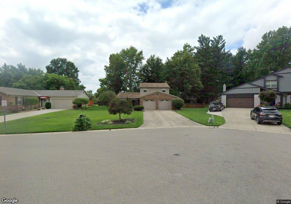
5779 Breezewood Dr Cincinnati, OH 45248
Estimated Value: $343,069 - $399,000
4
Beds
3
Baths
1,966
Sq Ft
$188/Sq Ft
Est. Value
About This Home
This home is located at 5779 Breezewood Dr, Cincinnati, OH 45248 and is currently estimated at $370,517, approximately $188 per square foot. 5779 Breezewood Dr is a home located in Hamilton County with nearby schools including John Foster Dulles Elementary School, Rapid Run Middle School, and Oak Hills High School.
Ownership History
Date
Name
Owned For
Owner Type
Purchase Details
Closed on
Mar 31, 2000
Sold by
Mcdonald Ian M and Mcdonald Isabel M
Bought by
Brown Dianne L
Current Estimated Value
Home Financials for this Owner
Home Financials are based on the most recent Mortgage that was taken out on this home.
Original Mortgage
$178,500
Interest Rate
9.12%
Create a Home Valuation Report for This Property
The Home Valuation Report is an in-depth analysis detailing your home's value as well as a comparison with similar homes in the area
Home Values in the Area
Average Home Value in this Area
Purchase History
| Date | Buyer | Sale Price | Title Company |
|---|---|---|---|
| Brown Dianne L | $187,900 | L & D Title Agency Inc |
Source: Public Records
Mortgage History
| Date | Status | Borrower | Loan Amount |
|---|---|---|---|
| Closed | Brown Dianne L | $178,500 |
Source: Public Records
Tax History Compared to Growth
Tax History
| Year | Tax Paid | Tax Assessment Tax Assessment Total Assessment is a certain percentage of the fair market value that is determined by local assessors to be the total taxable value of land and additions on the property. | Land | Improvement |
|---|---|---|---|---|
| 2024 | $4,820 | $94,938 | $11,585 | $83,353 |
| 2023 | $4,825 | $94,938 | $11,585 | $83,353 |
| 2022 | $4,313 | $71,939 | $10,388 | $61,551 |
| 2021 | $3,873 | $71,939 | $10,388 | $61,551 |
| 2020 | $3,923 | $71,939 | $10,388 | $61,551 |
| 2019 | $3,840 | $64,232 | $9,275 | $54,957 |
| 2018 | $3,845 | $64,232 | $9,275 | $54,957 |
| 2017 | $3,624 | $64,232 | $9,275 | $54,957 |
| 2016 | $3,406 | $60,278 | $9,531 | $50,747 |
| 2015 | $3,436 | $60,278 | $9,531 | $50,747 |
| 2014 | $3,440 | $60,278 | $9,531 | $50,747 |
| 2013 | $3,247 | $60,883 | $9,625 | $51,258 |
Source: Public Records
Map
Nearby Homes
- 3136 Werkshire Estates Dr
- 5809 Harborpoint Dr
- 5895 Quailhill Dr
- 3219 Lakepointe Ct
- 3316 Moonridge Dr
- 2819 Springwood Ct
- 6006 Quailhill Dr
- 3252 Greenway Ave
- 5869 Weston Ct
- 5340 Werk Rd
- 5647 Childs Ave
- 3492 Moonridge Dr
- 2710 Carroll Ave
- 2985 Bailey Ave
- 5465 Childs Ave
- 5719 Biscayne Ave
- 5685 Sidney Rd
- 5696 Biscayne Ave
- 3558 Neiheisel Ave
- 5569 Goldcrest Dr
- 5771 Breezewood Dr
- 5787 Breezewood Dr
- 5794 Breezewood Dr
- 5763 Breezewood Dr
- 5741 Werk Rd
- 5715 Werk Rd
- 5721 Werk Rd
- 5711 Werk Rd
- 5786 Breezewood Dr
- 5778 Breezewood Dr
- 5703 Werk Rd
- 5755 Breezewood Dr
- 5770 Breezewood Dr
- 5760 Breezewood Dr
- 5743 Werk Rd
- 5710 Thomaridge Ct
- 5695 Werk Rd
- 3072 Southfork Dr
- 3064 Southfork Dr
- 5750 Breezewood Dr